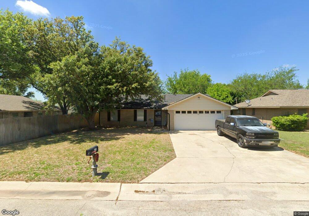
214 David Dr Sanger, TX 76266
Estimated Value: $230,616 - $276,000
3
Beds
2
Baths
1,157
Sq Ft
$219/Sq Ft
Est. Value
About This Home
This home is located at 214 David Dr, Sanger, TX 76266 and is currently estimated at $252,904, approximately $218 per square foot. 214 David Dr is a home located in Denton County with nearby schools including Chisholm Trail Elementary School, Clear Creek Intermediate School, and Sanger Sixth Grade Campus.
Ownership History
Date
Name
Owned For
Owner Type
Purchase Details
Closed on
May 20, 2008
Sold by
Slidell Cemetery Assn
Bought by
Springer Family Rentals Ltd
Current Estimated Value
Purchase Details
Closed on
Oct 6, 2004
Sold by
Marguerite Malone Revocable Living Trust
Bought by
Slidell Cemetery Assn
Purchase Details
Closed on
Dec 23, 2003
Sold by
Malone Marguerite
Bought by
Marguerite Malone Revocable Living Trust
Create a Home Valuation Report for This Property
The Home Valuation Report is an in-depth analysis detailing your home's value as well as a comparison with similar homes in the area
Home Values in the Area
Average Home Value in this Area
Purchase History
| Date | Buyer | Sale Price | Title Company |
|---|---|---|---|
| Springer Family Rentals Ltd | -- | None Available | |
| Slidell Cemetery Assn | -- | -- | |
| Marguerite Malone Revocable Living Trust | -- | -- |
Source: Public Records
Tax History
| Year | Tax Paid | Tax Assessment Tax Assessment Total Assessment is a certain percentage of the fair market value that is determined by local assessors to be the total taxable value of land and additions on the property. | Land | Improvement |
|---|---|---|---|---|
| 2025 | $3,826 | $167,000 | $61,880 | $105,120 |
| 2024 | $3,826 | $189,308 | $61,880 | $127,428 |
| 2023 | $4,018 | $198,256 | $46,410 | $151,846 |
| 2022 | $3,843 | $173,280 | $46,410 | $126,870 |
| 2021 | $2,639 | $125,554 | $30,940 | $94,614 |
| 2020 | $2,918 | $131,886 | $30,940 | $100,946 |
| 2019 | $2,937 | $129,000 | $30,940 | $98,060 |
| 2018 | $2,533 | $110,679 | $30,940 | $79,739 |
| 2017 | $2,093 | $91,000 | $30,940 | $60,060 |
| 2016 | $2,083 | $79,500 | $17,017 | $62,483 |
| 2015 | $1,698 | $75,000 | $17,017 | $57,983 |
| 2013 | -- | $73,759 | $17,017 | $56,742 |
Source: Public Records
Map
Nearby Homes
- 1001 Hunters Ct
- 227 Diane Dr
- 113 Diane Dr
- 226 Hillcrest St
- Tbd I35
- 1012 Cowling Rd
- 1804 Sand Stone Dr
- 701 Keaton Rd S Unit S
- TBD Church St
- Tbd Church St
- 2000 S Stemmons St
- 2004 S Stemmons St
- 821 Jennifer Ct
- 136 Eider Dr
- 124 Morning Glory
- 327 Deer Run Dr
- 141 Shady Grove Dr
- 710 W Willow St
- 141 Ringneck Dr
- 307 Quail Crossing Dr
Your Personal Tour Guide
Ask me questions while you tour the home.