Estimated Value: $1,036,000 - $1,204,000
4
Beds
2
Baths
1,889
Sq Ft
$591/Sq Ft
Est. Value
About This Home
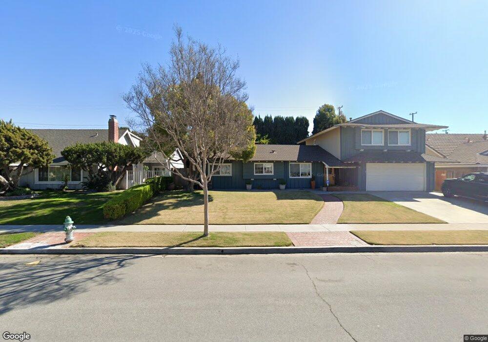
This home is located at 214 Delphia Ave, Brea, CA 92821 and is currently estimated at $1,115,566, approximately $590 per square foot. 214 Delphia Ave is a home located in Orange County with nearby schools including Arovista Elementary School, Brea Junior High School, and Brea-Olinda High School.
Ownership History
Date
Name
Owned For
Owner Type
Purchase Details
Closed on
Mar 19, 2021
Sold by
Berkaw Robert A and Berkaw Tina M
Bought by
Berkaw Robert A and Berkaw Tina M
Current Estimated Value
Purchase Details
Closed on
Aug 11, 1998
Sold by
Fredenberg Jerome G and Fredenberg Rosemarie A
Bought by
Berkaw Robert A and Berkaw Tina M
Home Financials for this Owner
Home Financials are based on the most recent Mortgage that was taken out on this home.
Original Mortgage
$215,500
Interest Rate
6.79%
Create a Home Valuation Report for This Property
The Home Valuation Report is an in-depth analysis detailing your home's value as well as a comparison with similar homes in the area
Home Values in the Area
Average Home Value in this Area
Purchase History
| Date | Buyer | Sale Price | Title Company |
|---|---|---|---|
| Berkaw Robert A | -- | None Available | |
| Berkaw Robert A | -- | None Available | |
| Berkaw Robert A | $245,500 | Chicago Title Co |
Source: Public Records
Mortgage History
| Date | Status | Borrower | Loan Amount |
|---|---|---|---|
| Previous Owner | Berkaw Robert A | $215,500 |
Source: Public Records
Tax History
| Year | Tax Paid | Tax Assessment Tax Assessment Total Assessment is a certain percentage of the fair market value that is determined by local assessors to be the total taxable value of land and additions on the property. | Land | Improvement |
|---|---|---|---|---|
| 2025 | $4,534 | $392,615 | $234,927 | $157,688 |
| 2024 | $4,534 | $384,917 | $230,320 | $154,597 |
| 2023 | $4,407 | $377,370 | $225,804 | $151,566 |
| 2022 | $4,361 | $369,971 | $221,376 | $148,595 |
| 2021 | $4,279 | $362,717 | $217,035 | $145,682 |
| 2020 | $4,250 | $358,998 | $214,809 | $144,189 |
| 2019 | $4,138 | $351,959 | $210,597 | $141,362 |
| 2018 | $4,075 | $345,058 | $206,467 | $138,591 |
| 2017 | $3,997 | $338,293 | $202,419 | $135,874 |
| 2016 | $3,918 | $331,660 | $198,450 | $133,210 |
| 2015 | $3,862 | $326,679 | $195,469 | $131,210 |
| 2014 | $3,750 | $320,280 | $191,640 | $128,640 |
Source: Public Records
Map
Nearby Homes
- 38 Rogers Ct
- 127 S Redwood Ave
- 145 S Poplar Ave Unit 20
- 334 S Walnut Ave
- 648 Pepperwood Dr
- 404 Sievers Ave
- 329 Surry Ct
- 360 Meadow Ct
- 753 Site Dr
- 149 Spring Ct
- 448 W Central Ave
- 421 Sycamore Ave
- 500 Silver Canyon Way
- 856 Williams St
- 677 Magnolia Ave
- 942 Oleander St
- 310 Pineridge St
- 688 Buttonwood Dr
- 719 S Walnut Ave
- 1051 Site Dr Unit 236
- 208 Delphia Ave
- 220 Delphia Ave
- 209 Napoli Dr
- 207 Napoli Dr
- 211 Napoli Dr
- 200 Delphia Ave
- 226 Delphia Ave
- 209 Delphia Ave
- 215 Delphia Ave
- 215 Napoli Dr
- 201 Delphia Ave
- 221 Delphia Ave
- 144 Delphia Ave
- 205 Napoli Dr
- 232 Delphia Ave
- 145 Delphia Ave
- 227 Delphia Ave
- 138 Delphia Ave
- 223 Napoli Dr
- 204 Napoli Dr
Your Personal Tour Guide
Ask me questions while you tour the home.