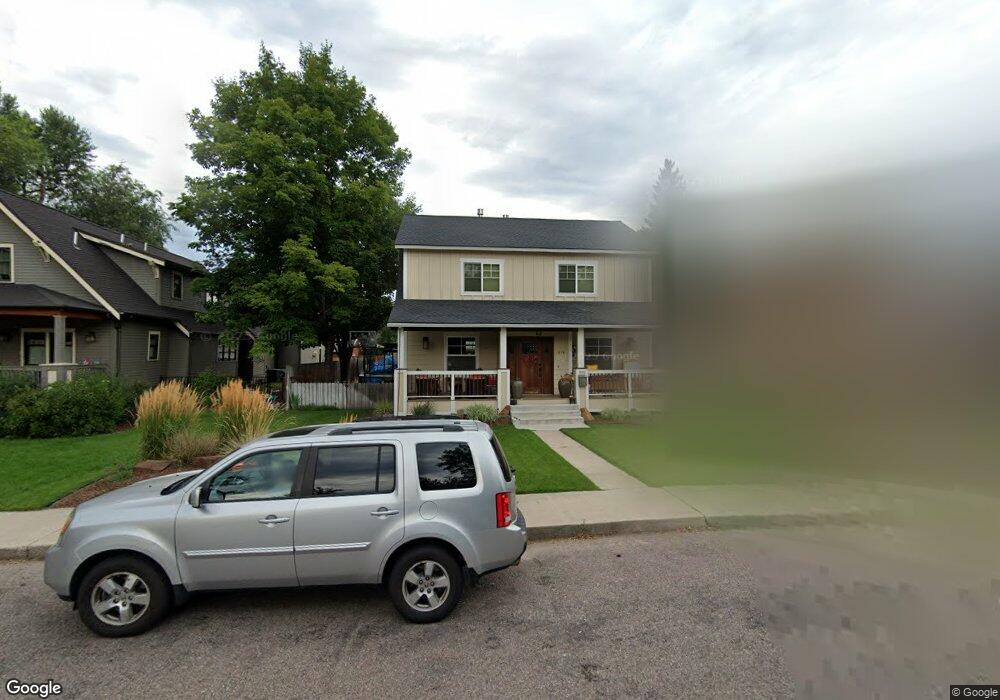
214 E Kent Ave Missoula, MT 59801
University District NeighborhoodEstimated Value: $724,000 - $1,035,153
2
Beds
2
Baths
--
Sq Ft
$-300,763/Sq Ft
Est. Value
About This Home
This home is located at 214 E Kent Ave, Missoula, MT 59801 and is currently estimated at $902,288. 214 E Kent Ave is a home located in Missoula County with nearby schools including Paxson School, Washington Middle School, and Sentinel High School.
Ownership History
Date
Name
Owned For
Owner Type
Purchase Details
Closed on
Aug 11, 2008
Sold by
Peterson Andrew C and Peterson Candace S
Bought by
Hansen Stewart and Pugh Carin
Current Estimated Value
Home Financials for this Owner
Home Financials are based on the most recent Mortgage that was taken out on this home.
Original Mortgage
$222,000
Outstanding Balance
$146,347
Interest Rate
6.42%
Mortgage Type
Purchase Money Mortgage
Estimated Equity
$755,941
Purchase Details
Closed on
Jul 29, 2003
Sold by
Chua Mei Ling
Bought by
Peterson Andrew C and Peterson Candace S
Home Financials for this Owner
Home Financials are based on the most recent Mortgage that was taken out on this home.
Original Mortgage
$176,000
Interest Rate
5.13%
Mortgage Type
Purchase Money Mortgage
Purchase Details
Closed on
Oct 9, 2001
Sold by
Baretta Darren J
Bought by
Chua Mei Ling
Create a Home Valuation Report for This Property
The Home Valuation Report is an in-depth analysis detailing your home's value as well as a comparison with similar homes in the area
Home Values in the Area
Average Home Value in this Area
Purchase History
| Date | Buyer | Sale Price | Title Company |
|---|---|---|---|
| Hansen Stewart | -- | Pte | |
| Peterson Andrew C | -- | -- | |
| Chua Mei Ling | -- | -- |
Source: Public Records
Mortgage History
| Date | Status | Borrower | Loan Amount |
|---|---|---|---|
| Open | Hansen Stewart | $222,000 | |
| Previous Owner | Peterson Andrew C | $176,000 |
Source: Public Records
Tax History
| Year | Tax Paid | Tax Assessment Tax Assessment Total Assessment is a certain percentage of the fair market value that is determined by local assessors to be the total taxable value of land and additions on the property. | Land | Improvement |
|---|---|---|---|---|
| 2025 | $9,436 | $978,000 | $334,920 | $643,080 |
| 2024 | $9,055 | $744,200 | $274,170 | $470,030 |
| 2023 | $8,724 | $744,200 | $274,170 | $470,030 |
| 2022 | $8,156 | $603,550 | $0 | $0 |
| 2021 | $7,332 | $603,550 | $0 | $0 |
| 2020 | $5,693 | $435,100 | $0 | $0 |
| 2019 | $5,674 | $435,100 | $0 | $0 |
| 2018 | $5,784 | $431,300 | $0 | $0 |
| 2017 | $5,722 | $431,300 | $0 | $0 |
| 2016 | $5,002 | $393,400 | $0 | $0 |
| 2015 | $4,630 | $393,400 | $0 | $0 |
| 2014 | $3,938 | $188,150 | $0 | $0 |
Source: Public Records
Map
Nearby Homes
- 222 Evans Ave
- 405 W Central Ave
- 675 E Central Ave
- 1325 Gerald Ave
- 715 Beverly Ave
- 443 Kensington Ave
- 211 Benton Ave
- 831 Hastings Ave
- 470 Strand Ave
- 1005 Gerald Ave
- 921 E Beckwith Ave
- 327 Tremont St
- 300 Connell Ave
- 225 Eddy Ave
- 110 Hillcrest Loop
- 542 Eddy Ave
- 722, 724, 728, 730, Rollins St
- 938 Rollins St
- 1105 Stephens Ave Unit 2
- 120 S 4th St W Unit 8
Your Personal Tour Guide
Ask me questions while you tour the home.