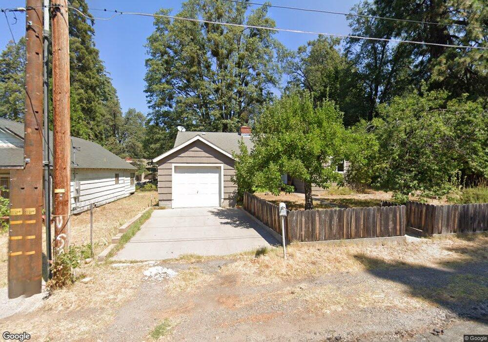
214 Eugene Ave Mount Shasta, CA 96067
Estimated Value: $311,934 - $376,000
3
Beds
1
Bath
1,426
Sq Ft
$244/Sq Ft
Est. Value
About This Home
This home is located at 214 Eugene Ave, Mount Shasta, CA 96067 and is currently estimated at $347,484, approximately $243 per square foot. 214 Eugene Ave is a home located in Siskiyou County with nearby schools including Mt. Shasta Elementary School, Mt. Shasta High School, and Golden Eagle Charter School.
Ownership History
Date
Name
Owned For
Owner Type
Purchase Details
Closed on
Feb 28, 2014
Sold by
Marconi Cynthia E
Bought by
Marconi Cynthia E
Current Estimated Value
Purchase Details
Closed on
Dec 7, 2010
Sold by
Marconi Cynthia E and Dalton Cynthia E
Bought by
Marconi Cynthia E
Purchase Details
Closed on
Oct 4, 2010
Sold by
Dalton Paul R
Bought by
Marconi Cynthia E
Purchase Details
Closed on
Aug 12, 2010
Sold by
Department Of Veterans Affairs Of The St
Bought by
Dalton Paul R and Dalton Cynthia E
Purchase Details
Closed on
Jul 8, 2003
Sold by
Dalton Paul R
Bought by
Dalton Cynthia
Create a Home Valuation Report for This Property
The Home Valuation Report is an in-depth analysis detailing your home's value as well as a comparison with similar homes in the area
Home Values in the Area
Average Home Value in this Area
Purchase History
| Date | Buyer | Sale Price | Title Company |
|---|---|---|---|
| Marconi Cynthia E | -- | None Available | |
| Marconi Cynthia E | -- | None Available | |
| Marconi Cynthia E | -- | None Available | |
| Dalton Paul R | -- | None Available | |
| Dalton Cynthia | -- | -- |
Source: Public Records
Tax History
| Year | Tax Paid | Tax Assessment Tax Assessment Total Assessment is a certain percentage of the fair market value that is determined by local assessors to be the total taxable value of land and additions on the property. | Land | Improvement |
|---|---|---|---|---|
| 2025 | $1,262 | $120,308 | $27,313 | $92,995 |
| 2023 | $1,262 | $115,638 | $26,253 | $89,385 |
| 2022 | $1,214 | $113,372 | $25,739 | $87,633 |
| 2021 | $1,193 | $111,150 | $25,235 | $85,915 |
| 2020 | $1,192 | $110,012 | $24,977 | $85,035 |
| 2019 | $1,170 | $107,856 | $24,488 | $83,368 |
| 2018 | $1,148 | $105,742 | $24,008 | $81,734 |
| 2017 | $1,136 | $103,670 | $23,538 | $80,132 |
| 2016 | $1,114 | $101,638 | $23,077 | $78,561 |
| 2015 | $1,098 | $100,112 | $22,731 | $77,381 |
| 2014 | $1,078 | $98,152 | $22,286 | $75,866 |
Source: Public Records
Map
Nearby Homes
- 102 S A St
- 0 Berry St
- 509 Mccloud Ave
- 415 Old McCloud Rd
- 0 Lot 8 Gateway Park
- 0 Alma St Apn #057-203-040
- lot 7 Ream Ave
- 307 N Adams Dr
- 00 S Mount Shasta Blvd
- Lot 16 Quail Hill Dr
- 1007 Mccloud Ave
- 706 Glen Mar Dr
- 0 S Mount Shasta Blvd
- 300 E Jessie St
- 322 E Jessie St
- 709 Cedar St
- 1227 Eddy Dr
- Lot 1 S Old Stage Rd
- 1517 Eddy Dr
- 704 Marjorie St
Your Personal Tour Guide
Ask me questions while you tour the home.