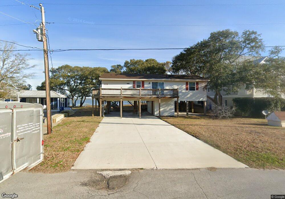
214 Forest Knoll Dr Atlantic Beach, NC 28512
Estimated Value: $886,000 - $1,193,000
3
Beds
2
Baths
1,248
Sq Ft
$791/Sq Ft
Est. Value
About This Home
This home is located at 214 Forest Knoll Dr, Atlantic Beach, NC 28512 and is currently estimated at $987,090, approximately $790 per square foot. 214 Forest Knoll Dr is a home with nearby schools including Morehead City Primary School, Morehead Elementary School at Camp Glenn, and Morehead City Middle School.
Ownership History
Date
Name
Owned For
Owner Type
Purchase Details
Closed on
May 12, 2021
Sold by
Flowers Barbara W
Bought by
Flowers Barbara W and The Flowers Living Trust
Current Estimated Value
Purchase Details
Closed on
Feb 21, 2018
Sold by
Flowers Barbara Watson
Bought by
Flowers Barbara W and The Flowers Living Trust
Purchase Details
Closed on
Dec 28, 2007
Sold by
Flowers William Grant
Bought by
Flowers William Grant and Flowers Barbara Watson
Create a Home Valuation Report for This Property
The Home Valuation Report is an in-depth analysis detailing your home's value as well as a comparison with similar homes in the area
Home Values in the Area
Average Home Value in this Area
Purchase History
| Date | Buyer | Sale Price | Title Company |
|---|---|---|---|
| Flowers Barbara W | -- | None Available | |
| Flowers Barbara W | -- | None Available | |
| Flowers William Grant | -- | None Available |
Source: Public Records
Tax History
| Year | Tax Paid | Tax Assessment Tax Assessment Total Assessment is a certain percentage of the fair market value that is determined by local assessors to be the total taxable value of land and additions on the property. | Land | Improvement |
|---|---|---|---|---|
| 2025 | $2,519 | $1,075,980 | $639,681 | $436,299 |
| 2024 | $1,782 | $495,381 | $403,447 | $91,934 |
| 2023 | $1,650 | $495,381 | $403,447 | $91,934 |
| 2022 | $1,650 | $495,381 | $403,447 | $91,934 |
| 2021 | $1,650 | $495,381 | $403,447 | $91,934 |
| 2020 | $1,650 | $495,381 | $403,447 | $91,934 |
| 2019 | $1,348 | $429,966 | $325,103 | $104,863 |
| 2017 | $1,348 | $429,966 | $325,103 | $104,863 |
| 2016 | $1,403 | $429,966 | $325,103 | $104,863 |
| 2015 | $1,358 | $447,825 | $325,103 | $122,722 |
| 2014 | $1,746 | $577,034 | $447,727 | $129,307 |
Source: Public Records
Map
Nearby Homes
- 201 Hoop Pole Creek Dr
- 207 Fairview St
- 105 Beachwood Dr Unit 1C
- 145 Hoop Pole Creek Dr Unit B
- 107 Beachwood Dr Unit 2B
- 112 Lee Dr Unit A
- 2800 W Fort MacOn Rd Unit 56
- 2800 W Fort MacOn Rd Unit 46
- 2800 W Fort MacOn Rd Unit 35
- 2503 Ft MacOn Rd W Unit 207-A
- 2509 W Ft MacOn Rd W Unit 105 B
- 2509 W Fort MacOn Rd Unit 103 B
- 2503 W Fort MacOn Rd Unit 108a
- 2308 Ft MacOn Rd W Unit 204h
- 2511 W Fort MacOn Rd Unit 208b
- 2511 W Fort MacOn Rd Unit B211
- 2304 W Ft MacOn Rd Unit H115
- 116 Salter Path Rd Unit 102
- 2305 Ft MacOn Rd W Unit 101
- 2305 Ft MacOn Rd W Unit 107
- 212 Forest Knoll Dr
- 300 Forest Knoll Dr
- 211 Forest Knoll Dr
- 302 Forest Knoll Dr
- 204 Forest Knoll Dr
- 204 Forest Knoll Dr
- 205 Forest Knoll Dr
- 206 Forest Knoll Dr
- 209 Forest Knoll Dr
- 209 Forest Knoll Dr
- 305 Forest Knoll Dr
- 408 Pelican Dr Unit D
- 236 Pelican Dr
- 207 Forest Knoll Dr
- 234 Pelican Dr
- 404 Knollwood Dr
- 232 Pelican Dr
- 205 Forest Knoll
- 224 Pelican Dr
- 202 Forest Knoll Dr
Your Personal Tour Guide
Ask me questions while you tour the home.