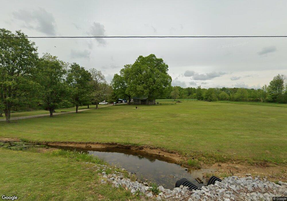
214 Lantz Rd Lawrenceburg, TN 38464
Estimated Value: $158,670 - $326,000
--
Bed
1
Bath
1,438
Sq Ft
$167/Sq Ft
Est. Value
About This Home
This home is located at 214 Lantz Rd, Lawrenceburg, TN 38464 and is currently estimated at $239,918, approximately $166 per square foot. 214 Lantz Rd is a home located in Lawrence County with nearby schools including Ingram Sowell Elementary School, Lawrenceburg Public Elementary School, and David Crockett Elementary School.
Ownership History
Date
Name
Owned For
Owner Type
Purchase Details
Closed on
May 2, 2013
Sold by
Hughes Tammi L
Bought by
Brooks Michael D
Current Estimated Value
Purchase Details
Closed on
Feb 27, 2003
Bought by
Brooks Michael D and Hughes Tammi L
Purchase Details
Closed on
Jan 31, 2002
Bought by
Brooks Michael D
Purchase Details
Closed on
Apr 4, 1997
Sold by
Herschell Powell
Bought by
Erwin Duechle
Home Financials for this Owner
Home Financials are based on the most recent Mortgage that was taken out on this home.
Original Mortgage
$51,000
Interest Rate
7.86%
Create a Home Valuation Report for This Property
The Home Valuation Report is an in-depth analysis detailing your home's value as well as a comparison with similar homes in the area
Home Values in the Area
Average Home Value in this Area
Purchase History
| Date | Buyer | Sale Price | Title Company |
|---|---|---|---|
| Brooks Michael D | -- | -- | |
| Brooks Michael D | -- | -- | |
| Brooks Michael D | $43,200 | -- | |
| Erwin Duechle | $78,000 | -- |
Source: Public Records
Mortgage History
| Date | Status | Borrower | Loan Amount |
|---|---|---|---|
| Previous Owner | Erwin Duechle | $51,000 |
Source: Public Records
Tax History Compared to Growth
Tax History
| Year | Tax Paid | Tax Assessment Tax Assessment Total Assessment is a certain percentage of the fair market value that is determined by local assessors to be the total taxable value of land and additions on the property. | Land | Improvement |
|---|---|---|---|---|
| 2025 | $543 | $27,000 | $0 | $0 |
| 2024 | $543 | $27,000 | $4,675 | $22,325 |
| 2023 | $543 | $27,000 | $4,675 | $22,325 |
| 2022 | $543 | $27,000 | $4,675 | $22,325 |
| 2021 | $443 | $14,975 | $3,150 | $11,825 |
| 2020 | $443 | $14,975 | $3,150 | $11,825 |
| 2019 | $443 | $14,975 | $3,150 | $11,825 |
| 2018 | $443 | $14,975 | $3,150 | $11,825 |
| 2017 | $443 | $14,975 | $3,150 | $11,825 |
| 2016 | $443 | $14,975 | $3,150 | $11,825 |
| 2015 | $410 | $14,975 | $3,150 | $11,825 |
| 2014 | $414 | $15,100 | $3,175 | $11,925 |
Source: Public Records
Map
Nearby Homes
- 145 Lantz Rd
- 0 Lanning Rd
- 380 Lanning Rd
- 130 Westside Rd
- 0 Westside Rd
- 2167 Powdermill Hill Rd
- 1491 Cates Rd
- 2024 Powdermill Hill Rd
- 260 Wesley Chapel Rd
- 404 Fleeman Cir
- 2073 Choates Creek Rd
- 812 Good Hope Rd
- 375 Good Hope Rd
- 79 Bishop Rd
- 58 Jordan Rd
- 0 Smith Hill Rd Unit RTC3030754
- 0 Smith Hill Rd Unit RTC2787571
- 0 Smith Hill Rd Unit RTC2787572
- 206 State Ave
- 786 Hillview Dr