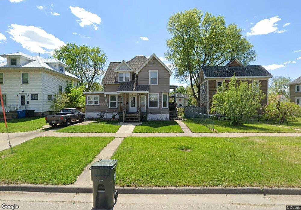
214* Locust St Waterloo, IA 50701
Church Row NeighborhoodEstimated Value: $44,000 - $85,000
3
Beds
3
Baths
2,030
Sq Ft
$33/Sq Ft
Est. Value
About This Home
This home is located at 214* Locust St, Waterloo, IA 50701 and is currently estimated at $68,000, approximately $33 per square foot. 214* Locust St is a home located in Black Hawk County with nearby schools including Irving Elementary School, Central Middle School, and West High School.
Ownership History
Date
Name
Owned For
Owner Type
Purchase Details
Closed on
Mar 14, 2008
Sold by
Chase Home Finance Llc
Bought by
Co Secretary Of Hsng & Urban Developme
Current Estimated Value
Purchase Details
Closed on
Aug 30, 2007
Sold by
Pilipovic Samir
Bought by
Chase Home Finance Llc
Create a Home Valuation Report for This Property
The Home Valuation Report is an in-depth analysis detailing your home's value as well as a comparison with similar homes in the area
Home Values in the Area
Average Home Value in this Area
Purchase History
| Date | Buyer | Sale Price | Title Company |
|---|---|---|---|
| Co Secretary Of Hsng & Urban Developme | $50,500 | Black Hawk County Abstract & | |
| Co Secretary Of Hsng & Urban Developme | $50,500 | Black Hawk County Abstract & | |
| Chase Home Finance Llc | $50,079 | Black Hawk County Abstract & | |
| Chase Home Finance Llc | $50,079 | Black Hawk County Abstract & |
Source: Public Records
Tax History
| Year | Tax Paid | Tax Assessment Tax Assessment Total Assessment is a certain percentage of the fair market value that is determined by local assessors to be the total taxable value of land and additions on the property. | Land | Improvement |
|---|---|---|---|---|
| 2025 | $1,552 | $73,960 | $9,000 | $64,960 |
| 2024 | $1,552 | $71,560 | $9,000 | $62,560 |
| 2023 | $994 | $71,560 | $9,000 | $62,560 |
| 2022 | $1,140 | $45,250 | $9,000 | $36,250 |
| 2021 | $1,226 | $45,250 | $9,000 | $36,250 |
| 2020 | $1,304 | $45,250 | $9,000 | $36,250 |
| 2019 | $1,304 | $36,250 | $0 | $36,250 |
| 2018 | $1,428 | $36,250 | $0 | $36,250 |
| 2017 | $1,506 | $36,250 | $0 | $36,250 |
| 2016 | $1,592 | $36,250 | $0 | $36,250 |
| 2015 | $1,592 | $36,250 | $0 | $36,250 |
| 2014 | $1,690 | $45,250 | $9,000 | $36,250 |
Source: Public Records
Map
Nearby Homes
- 216 Allen St
- 821 W Mullan Ave
- 407 Locust St
- 418 Oaklawn Ave
- 207 Denver St
- 434 Belmont Ave
- 1223 W Mullan Ave
- 1225 W Mullan Ave
- 719 W 1st St
- 1227 W Mullan Ave
- 1229 W Mullan Ave
- 1231 W Mullan Ave
- 1233 W Mullan Ave
- 1235 W Mullan Ave
- 1237 W Mullan Ave
- 918 W 4th St
- 315 Leland Ave
- 102 South St
- 628 Allen St
- 432 Vermont St
- 202 Locust St
- 103 Elmwood St
- 204 Locust St
- 201 Locust St
- 210 Locust St
- 203 Locust St
- 214 Locust St Unit 216
- 105 Elmwood St
- 126 Locust St
- 923 W 1st St
- 215 Locust St
- 124 Locust St
- 124 Locust St Unit 124 Locust
- 930 W 1st St
- 921 W 1st St
- 122 Locust St
- 220 Locust St
- 217 Locust St
- 120 Locust St
- 118 Locust St
Your Personal Tour Guide
Ask me questions while you tour the home.