214 Mayhaw Ln Choudrant, LA 71227
Estimated Value: $242,000 - $292,000
Studio
--
Bath
1,986
Sq Ft
$131/Sq Ft
Est. Value
About This Home
This home is located at 214 Mayhaw Ln, Choudrant, LA 71227 and is currently estimated at $259,649, approximately $130 per square foot. 214 Mayhaw Ln is a home located in Lincoln Parish with nearby schools including Choudrant Elementary School, Choudrant High School, and Ruston Junior High School.
Ownership History
Date
Name
Owned For
Owner Type
Purchase Details
Closed on
Oct 18, 2018
Sold by
Leachman Robert B and Leachman Saunders-Leachman V
Bought by
Brown Stephen C and Brown Margaret C
Current Estimated Value
Home Financials for this Owner
Home Financials are based on the most recent Mortgage that was taken out on this home.
Original Mortgage
$157,000
Outstanding Balance
$136,083
Interest Rate
4.6%
Mortgage Type
New Conventional
Estimated Equity
$123,566
Create a Home Valuation Report for This Property
The Home Valuation Report is an in-depth analysis detailing your home's value as well as a comparison with similar homes in the area
Purchase History
| Date | Buyer | Sale Price | Title Company |
|---|---|---|---|
| Brown Stephen C | $188,000 | -- |
Source: Public Records
Mortgage History
| Date | Status | Borrower | Loan Amount |
|---|---|---|---|
| Open | Brown Stephen C | $157,000 |
Source: Public Records
Tax History
| Year | Tax Paid | Tax Assessment Tax Assessment Total Assessment is a certain percentage of the fair market value that is determined by local assessors to be the total taxable value of land and additions on the property. | Land | Improvement |
|---|---|---|---|---|
| 2025 | $1,618 | $20,011 | $1,262 | $18,749 |
| 2024 | $1,618 | $20,011 | $1,262 | $18,749 |
| 2023 | $1,338 | $15,740 | $1,115 | $14,625 |
| 2022 | $1,326 | $15,705 | $1,115 | $14,590 |
| 2021 | $1,305 | $15,706 | $1,115 | $14,591 |
| 2020 | $1,308 | $15,706 | $1,115 | $14,591 |
| 2019 | $1,326 | $15,706 | $1,115 | $14,591 |
| 2018 | $1,327 | $15,706 | $1,115 | $14,591 |
| 2017 | $657 | $7,295 | $265 | $7,030 |
| 2016 | $669 | $0 | $0 | $0 |
| 2015 | $717 | $7,295 | $265 | $7,030 |
| 2013 | $727 | $7,295 | $265 | $7,030 |
Source: Public Records
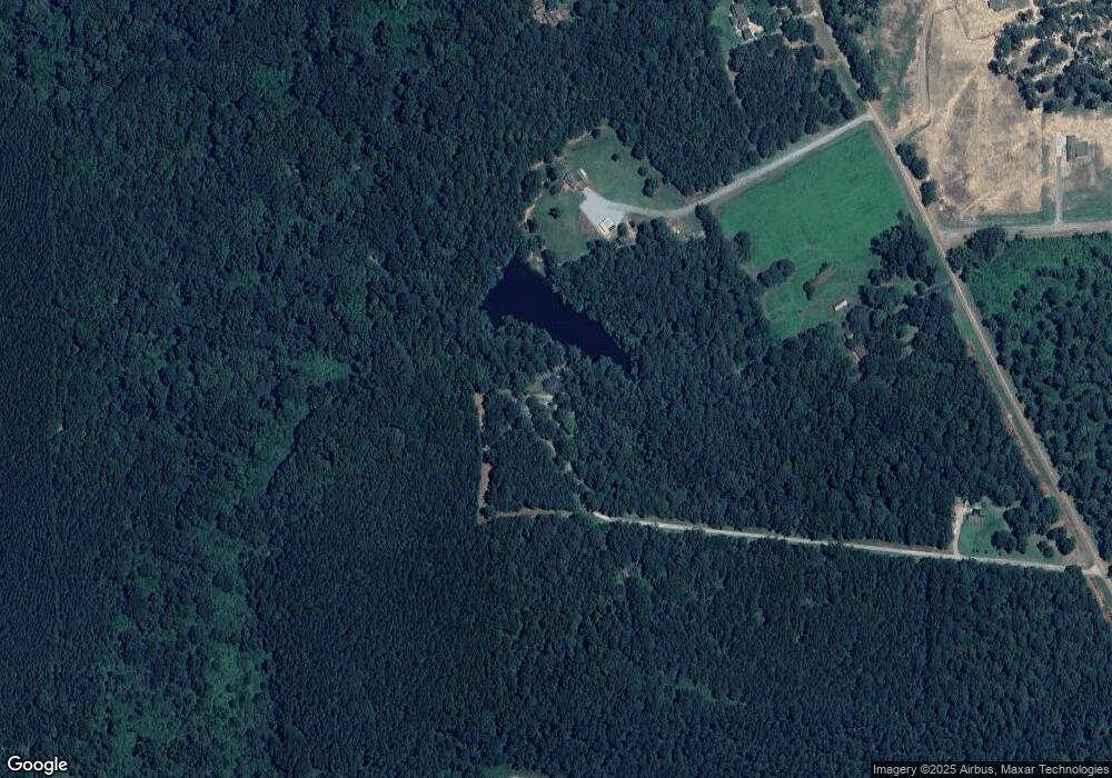
Map
Nearby Homes
- 0 Oak Tree Rd
- 120 Douglas Ln
- 201 Vintage Ln
- 1950 Louisiana 821
- 448 Loblolly Ln
- 172 Sav Rd
- 120 Lanes End Dr
- 220 Crestview Dr
- 6235 Highway 33
- 120 Hill Creek Dr
- 641 Goodgoin Rd
- 165 Loblolly Ln
- 0 Spillers Rd
- 1061 Whitehead Rd
- 0A Anderson Rd
- 0B Anderson Rd
- 0C Anderson Rd
- 0 Anderson Rd
- 144 Creeks Crossing
- 634 Cheatwood Rd
- 480 Highway 820
- 524 Highway 820
- 152 Dixieland Dr
- 471 Highway 820
- 468 Highway 820
- 132 Mayhaw Ln
- 0 Par Road 502
- 191 Roy Wade Rd
- 201 Roy Wade Rd
- 239 Antler Ridge Ln
- 280 Antler Ridge Ln
- 217 Roy Wade Rd
- 239 Roy Wade Rd
- 287 Roy Wade Rd
- 948 New Hope Rd
- 107 Oak Tree Rd
- 947 New Hope Rd
- 123 Oak Tree Rd
- 1001 New Hope Rd
- 884 New Hope Rd
Your Personal Tour Guide
Ask me questions while you tour the home.