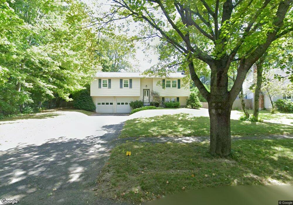
214 Mcintosh Dr Pittsfield, MA 01201
Estimated Value: $339,000 - $375,000
3
Beds
1
Bath
1,503
Sq Ft
$239/Sq Ft
Est. Value
About This Home
This home is located at 214 Mcintosh Dr, Pittsfield, MA 01201 and is currently estimated at $359,702, approximately $239 per square foot. 214 Mcintosh Dr is a home located in Berkshire County with nearby schools including Williams Elementary School, Theodore Herberg Middle School, and St. Agnes Academy.
Ownership History
Date
Name
Owned For
Owner Type
Purchase Details
Closed on
Feb 6, 2014
Sold by
Burnick Robert W and Burnick Geraldine L
Bought by
Delgallo Corrine L and Burnick Robert W
Current Estimated Value
Purchase Details
Closed on
Mar 12, 1981
Bought by
Burnick Robert W and Burnick Geraldine L
Create a Home Valuation Report for This Property
The Home Valuation Report is an in-depth analysis detailing your home's value as well as a comparison with similar homes in the area
Home Values in the Area
Average Home Value in this Area
Purchase History
| Date | Buyer | Sale Price | Title Company |
|---|---|---|---|
| Delgallo Corrine L | -- | -- | |
| Delgallo Corrine L | -- | -- | |
| Delgallo Corrine L | -- | -- | |
| Burnick Robert W | -- | -- |
Source: Public Records
Tax History Compared to Growth
Tax History
| Year | Tax Paid | Tax Assessment Tax Assessment Total Assessment is a certain percentage of the fair market value that is determined by local assessors to be the total taxable value of land and additions on the property. | Land | Improvement |
|---|---|---|---|---|
| 2025 | $5,800 | $323,300 | $90,600 | $232,700 |
| 2024 | $5,517 | $299,000 | $90,600 | $208,400 |
| 2023 | $5,135 | $280,300 | $90,600 | $189,700 |
| 2022 | $4,595 | $247,600 | $80,600 | $167,000 |
| 2021 | $4,547 | $236,200 | $80,600 | $155,600 |
| 2020 | $4,354 | $220,900 | $70,600 | $150,300 |
| 2019 | $4,109 | $211,600 | $70,600 | $141,000 |
| 2018 | $4,032 | $201,500 | $65,600 | $135,900 |
| 2017 | $3,687 | $187,800 | $57,100 | $130,700 |
| 2016 | $3,576 | $190,600 | $57,100 | $133,500 |
| 2015 | $3,442 | $190,600 | $57,100 | $133,500 |
Source: Public Records
Map
Nearby Homes
- 1106 South St
- 18 Pleasantview Dr
- 13 Pleasantview Dr
- 1 Pondview Dr Unit C3
- 80 Mcintosh Dr
- 304 Dalton Division Rd
- 0 Dalton Division Rd
- 100 Elaine Dr
- 0 Crane Ave
- 171 Pine Grove Dr
- 171 Harryel St
- 189 Doreen St
- 50 Grand Ave
- 9 Crane Ave
- 28 Jayne Ave
- 87 Maryland Ave
- 26 Leona Dr
- 989 Williams St
- 326 Dalton Ave
- 82 Williamsburg Terrace
- 208 Mcintosh Dr
- 172 Dalton Division Rd
- 2006 East St
- 2002 East St
- 178 Dalton Division Rd
- 166 Dalton Division Rd
- 213 Mcintosh Dr
- 182 Dalton Division Rd
- 219 Mcintosh Dr
- 160 Dalton Division Rd
- 71 Greenings Ave
- 18 Dalton Divide
- 154 Dalton Division Rd
- 196 Mcintosh Dr
- 192 Dalton Division Rd
- 1990 East St
- 65 Greenings Ave
- 18 Dalton Division Rd
- 12 Dalton Division Rd
- 24 Dalton Division Rd