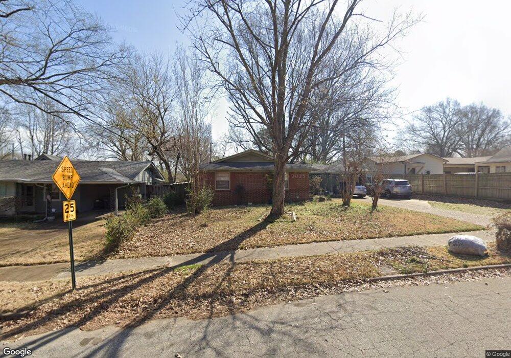
214 N Oak Grove Rd Memphis, TN 38120
Audubon Park NeighborhoodEstimated Value: $188,564 - $213,000
3
Beds
1
Bath
1,264
Sq Ft
$157/Sq Ft
Est. Value
About This Home
This home is located at 214 N Oak Grove Rd, Memphis, TN 38120 and is currently estimated at $198,641, approximately $157 per square foot. 214 N Oak Grove Rd is a home located in Shelby County with nearby schools including Richland Elementary School, White Station Middle, and White Station High.
Ownership History
Date
Name
Owned For
Owner Type
Purchase Details
Closed on
Aug 19, 2025
Sold by
Williams Patsy B
Bought by
Mcginnis Hillary M
Current Estimated Value
Purchase Details
Closed on
Mar 8, 2001
Sold by
Williams Patsy B
Bought by
Walker Cynthia W
Home Financials for this Owner
Home Financials are based on the most recent Mortgage that was taken out on this home.
Original Mortgage
$75,000
Interest Rate
6.91%
Purchase Details
Closed on
Feb 20, 2001
Sold by
Love Connie L S
Bought by
Williams Patsy B
Home Financials for this Owner
Home Financials are based on the most recent Mortgage that was taken out on this home.
Original Mortgage
$75,000
Interest Rate
6.91%
Create a Home Valuation Report for This Property
The Home Valuation Report is an in-depth analysis detailing your home's value as well as a comparison with similar homes in the area
Home Values in the Area
Average Home Value in this Area
Purchase History
| Date | Buyer | Sale Price | Title Company |
|---|---|---|---|
| Mcginnis Hillary M | -- | None Listed On Document | |
| Walker Cynthia W | -- | Lawyers Title Insurance Corp | |
| Williams Patsy B | $96,000 | -- |
Source: Public Records
Mortgage History
| Date | Status | Borrower | Loan Amount |
|---|---|---|---|
| Previous Owner | Williams Patsy B | $75,000 |
Source: Public Records
Tax History Compared to Growth
Tax History
| Year | Tax Paid | Tax Assessment Tax Assessment Total Assessment is a certain percentage of the fair market value that is determined by local assessors to be the total taxable value of land and additions on the property. | Land | Improvement |
|---|---|---|---|---|
| 2025 | $1,277 | $43,900 | $10,000 | $33,900 |
| 2024 | $1,277 | $37,675 | $6,625 | $31,050 |
| 2023 | $2,295 | $37,675 | $6,625 | $31,050 |
| 2022 | $2,295 | $37,675 | $6,625 | $31,050 |
| 2021 | $2,322 | $37,675 | $6,625 | $31,050 |
| 2020 | $2,150 | $29,675 | $9,200 | $20,475 |
| 2019 | $2,150 | $29,675 | $9,200 | $20,475 |
| 2018 | $2,150 | $29,675 | $9,200 | $20,475 |
| 2017 | $1,220 | $29,675 | $9,200 | $20,475 |
| 2016 | $1,139 | $26,075 | $0 | $0 |
| 2014 | $1,139 | $26,075 | $0 | $0 |
Source: Public Records
Map
Nearby Homes
- 221 N Yates Rd
- 248 N Yates Rd
- 5468 Mason Rd
- 5504 Normandy Rd
- 5340 Rich Rd
- 5362 Wilton Ave
- 5360 Normandy Ave
- 284 Fountain River Dr
- 5313 Chickasaw Rd
- 432 Malboro Rd
- 5702 Buxbriar Ave
- 379 Mcelroy Rd
- 5704 Ashbriar Ave
- 5649 Normandy Rd
- 5721 Dunwoody Ave
- 422 Mcelroy Rd
- 5681 Normandy Rd
- 226 N White Station Rd
- 258 N White Station Rd
- 5737 Buxbriar Ave
- 220 N Oak Grove Rd
- 5496 Melvin Rd
- 5502 Melvin Rd
- 228 N Oak Grove Rd
- 5510 Melvin Rd
- 217 Melita Rd
- 213 Melita Rd
- 223 Melita Rd
- 236 N Oak Grove Rd
- 5518 Melvin Rd
- 229 Melita Rd
- 242 N Oak Grove Rd
- 235 Melita Rd
- 5511 Melvin Rd
- 241 Melita Rd
- 5532 Melvin Rd
- 250 N Oak Grove Rd
- 212 Melita Rd
- 5519 Melvin Rd
- 218 Melita Rd