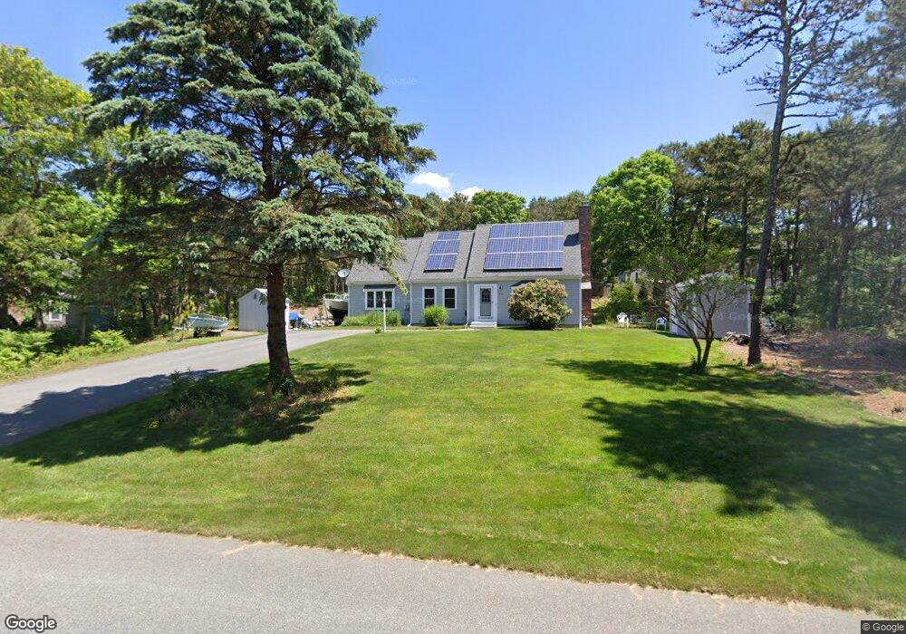
214 Noisy Hole Rd Mashpee, MA 02649
Estimated Value: $661,956 - $742,000
About This Home
This home is located at 214 Noisy Hole Rd, Mashpee, MA 02649 and is currently estimated at $689,989, approximately $325 per square foot. 214 Noisy Hole Rd is a home located in Barnstable County with nearby schools including Kenneth C. Coombs School, Quashnet School, and Mashpee Middle School.
Ownership History
We collect this data history from publicly available records. To have your information removed, we recommend requesting removal directly through your county’s website.
Purchase Details
Purchase Details
Home Financials for this Owner
Home Financials are based on the most recent Mortgage that was taken out on this home.Purchase Details
Purchase Details
Purchase History
We collect this data history from publicly available records. To have your information removed, we recommend requesting removal directly through your county’s website.
| Date | Buyer | Sale Price | Title Company |
|---|---|---|---|
| -- | None Available | ||
| $252,000 | -- | ||
| $263,500 | -- | ||
| $110,000 | -- |
Mortgage History
We collect this data history from publicly available records. To have your information removed, we recommend requesting removal directly through your county’s website.
| Date | Status | Borrower | Loan Amount |
|---|---|---|---|
| Previous Owner | $190,000 | ||
| Previous Owner | $204,200 | ||
| Previous Owner | $201,600 | ||
| Previous Owner | $155,000 |
Tax History
We collect this data history from publicly available records. To have your information removed, we recommend requesting removal directly through your county’s website.
| Year | Tax Paid | Tax Assessment Tax Assessment Total Assessment is a certain percentage of the fair market value that is determined by local assessors to be the total taxable value of land and additions on the property. | Land | Improvement |
|---|---|---|---|---|
| 2025 | $3,758 | $567,600 | $197,200 | $370,400 |
| 2024 | $3,424 | $532,500 | $179,300 | $353,200 |
| 2023 | $3,205 | $457,200 | $170,700 | $286,500 |
| 2022 | $3,077 | $376,600 | $138,800 | $237,800 |
| 2021 | $2,542 | $330,800 | $125,000 | $205,800 |
| 2020 | $2,894 | $318,400 | $120,300 | $198,100 |
| 2019 | $2,832 | $306,500 | $120,300 | $186,200 |
| 2018 | $523 | $293,500 | $120,300 | $173,200 |
| 2017 | $2,551 | $277,600 | $120,300 | $157,300 |
| 2016 | $2,480 | $268,400 | $120,300 | $148,100 |
| 2015 | $2,374 | $260,600 | $120,300 | $140,300 |
| 2014 | $2,414 | $257,100 | $118,800 | $138,300 |
Map
- 235 Main St
- 30 Sheffield Place
- 265 Cotuit Rd
- 34 Windsor Way
- 14 Sheffield Place
- 20 Lakewood Dr
- 4 Bishops Park
- 84 Lakewood Dr
- 29 Carleton Dr
- 39 Lovells Ln
- 39 Lovell's Ln
- 60 Redwood Cir
- 140 Pheasant Hill Cir
- 140 Pheasant Hill Cir
- 45 Fox Hill Rd
- 5 Scituate Rd
- 4 Hane Rd
- 131 Timberlane Dr
- 70 Cape Dr Unit 14D
- 70 Cape Dr Unit 8B
- 220 Noisy Hole Rd
- 45 Scenic Dr
- 208 Noisy Hole Rd
- 60 Burning Bush Rd
- 39 Scenic Dr
- 54 Burning Bush Rd
- 33 Scenic Dr
- 217 Noisy Hole Rd
- 61 Burning Bush Rd
- 48 Scenic Dr
- 54 Scenic Dr
- 198 Noisy Hole Rd
- 40 Scenic Dr
- 53 Burning Bush Rd
- 27 Scenic Dr
- 48 Burning Bush Rd
- 24 Burning Bush Rd
- 32 Scenic Dr
- 77 Park Place Way
- 71 Park Place Way
Ask me questions while you tour the home.