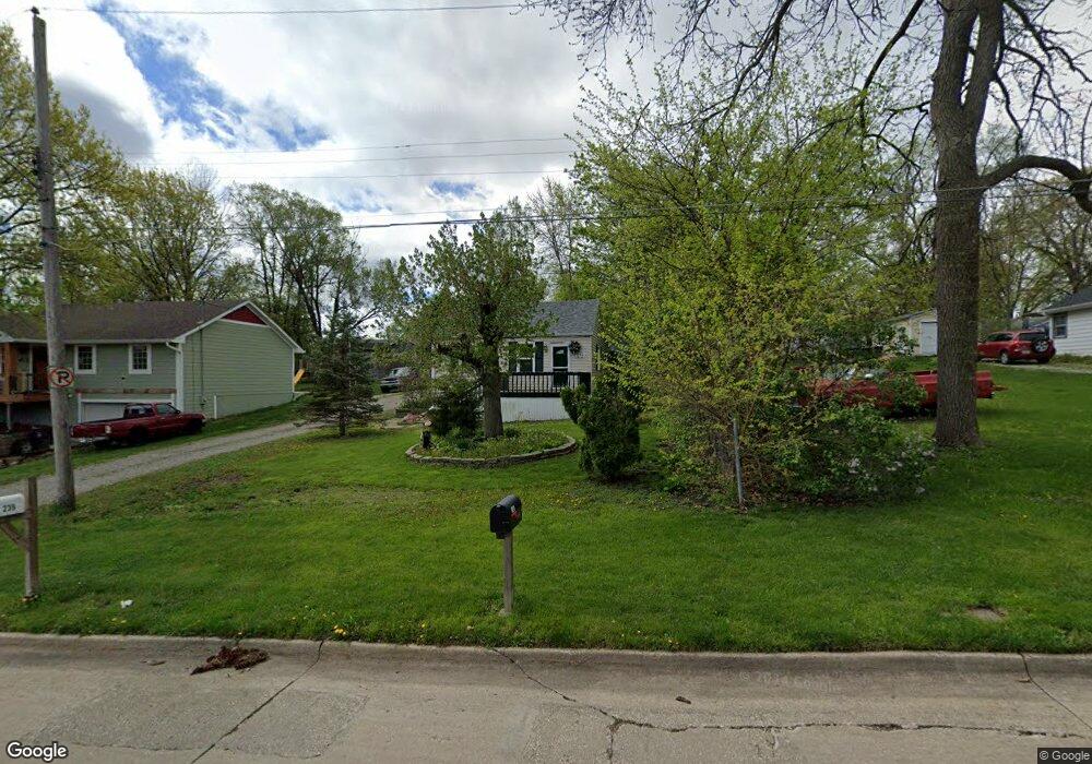
214 Philip St Des Moines, IA 50315
Watrous Heights NeighborhoodEstimated Value: $135,000 - $174,167
2
Beds
2
Baths
864
Sq Ft
$178/Sq Ft
Est. Value
About This Home
This home is located at 214 Philip St, Des Moines, IA 50315 and is currently estimated at $154,042, approximately $178 per square foot. 214 Philip St is a home located in Polk County with nearby schools including South Union Elementary School, Brody Middle School, and Lincoln High School.
Ownership History
Date
Name
Owned For
Owner Type
Purchase Details
Closed on
May 2, 2005
Sold by
Porter Real Estate Co Llc
Bought by
Henry Darrell and Henry Linda
Current Estimated Value
Home Financials for this Owner
Home Financials are based on the most recent Mortgage that was taken out on this home.
Original Mortgage
$85,900
Outstanding Balance
$49,160
Interest Rate
7.5%
Mortgage Type
Fannie Mae Freddie Mac
Estimated Equity
$104,882
Purchase Details
Closed on
Dec 2, 2004
Sold by
Spurlock Linda M and Spurlock Carl E
Bought by
Porter Real Estate Co Llc
Purchase Details
Closed on
Oct 6, 2004
Sold by
State Fsla Of Des Moines
Bought by
Spurlock Linda
Purchase Details
Closed on
May 21, 2004
Sold by
Rudolf Randy and Rudolf Heather
Bought by
Liberty Bank Fsb
Purchase Details
Closed on
Jul 2, 2001
Sold by
Lovan Pen J and Lovan Debra A
Bought by
Rudolf Randy and Rudolf Heather
Home Financials for this Owner
Home Financials are based on the most recent Mortgage that was taken out on this home.
Original Mortgage
$39,200
Interest Rate
8.75%
Purchase Details
Closed on
Sep 28, 1998
Sold by
Baccam Mick S and Baccam Soukthanome
Bought by
Lovan Pen J and Lovan Debra A
Create a Home Valuation Report for This Property
The Home Valuation Report is an in-depth analysis detailing your home's value as well as a comparison with similar homes in the area
Home Values in the Area
Average Home Value in this Area
Purchase History
| Date | Buyer | Sale Price | Title Company |
|---|---|---|---|
| Henry Darrell | $85,500 | -- | |
| Porter Real Estate Co Llc | $73,500 | -- | |
| Spurlock Linda | $51,000 | -- | |
| Liberty Bank Fsb | -- | -- | |
| Rudolf Randy | $48,500 | -- | |
| Lovan Pen J | $40,000 | -- |
Source: Public Records
Mortgage History
| Date | Status | Borrower | Loan Amount |
|---|---|---|---|
| Open | Henry Darrell | $85,900 | |
| Previous Owner | Rudolf Randy | $39,200 |
Source: Public Records
Tax History Compared to Growth
Tax History
| Year | Tax Paid | Tax Assessment Tax Assessment Total Assessment is a certain percentage of the fair market value that is determined by local assessors to be the total taxable value of land and additions on the property. | Land | Improvement |
|---|---|---|---|---|
| 2025 | $2,260 | $157,700 | $35,200 | $122,500 |
| 2024 | $2,260 | $141,000 | $30,900 | $110,100 |
| 2023 | $2,324 | $141,000 | $30,900 | $110,100 |
| 2022 | $2,304 | $110,900 | $25,400 | $85,500 |
| 2021 | $2,154 | $110,900 | $25,400 | $85,500 |
| 2020 | $2,230 | $98,200 | $22,300 | $75,900 |
| 2019 | $2,052 | $98,200 | $22,300 | $75,900 |
| 2018 | $2,024 | $88,100 | $19,600 | $68,500 |
| 2017 | $1,888 | $88,100 | $19,600 | $68,500 |
| 2016 | $1,832 | $81,600 | $17,800 | $63,800 |
| 2015 | $1,832 | $81,600 | $17,800 | $63,800 |
| 2014 | $1,940 | $88,100 | $18,900 | $69,200 |
Source: Public Records
Map
Nearby Homes
- 515 Emma Ave
- 518 Maxwelton Dr
- 304 Herold Ave
- 612 Emma Ave
- 108 E Philip St
- 126 E Maxwelton Dr
- 209 E Philip St
- 3822 SW 2nd St
- 212 Titus Ave
- 118 E Watrous Ave
- . Herold Ave
- 299 Hackley Ave
- 311 E Emma Ave
- 4316 SE 4th St
- 520 Hackley Ave
- 3903 SW 9th St
- 930 Emma Ave
- 3634 SW 4th St
- 409 Wilmers Ave
- 936 Mckinley Ave Unit 14