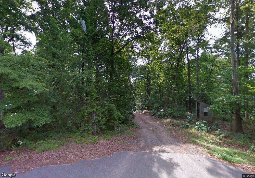
214 Pinewood Dr Lincolnton, NC 28092
Estimated Value: $397,000 - $506,112
4
Beds
3
Baths
2,316
Sq Ft
$188/Sq Ft
Est. Value
About This Home
This home is located at 214 Pinewood Dr, Lincolnton, NC 28092 and is currently estimated at $436,278, approximately $188 per square foot. 214 Pinewood Dr is a home located in Lincoln County with nearby schools including Battleground Elementary School, Lincolnton Middle School, and Lincolnton High School.
Ownership History
Date
Name
Owned For
Owner Type
Purchase Details
Closed on
Nov 7, 2023
Sold by
Mayhew James C
Bought by
Mayhew James C
Current Estimated Value
Home Financials for this Owner
Home Financials are based on the most recent Mortgage that was taken out on this home.
Original Mortgage
$110,000
Outstanding Balance
$108,107
Interest Rate
7.57%
Mortgage Type
New Conventional
Estimated Equity
$328,171
Purchase Details
Closed on
Jun 7, 1996
Bought by
Mayhew James C and Mayhew Beverly J
Create a Home Valuation Report for This Property
The Home Valuation Report is an in-depth analysis detailing your home's value as well as a comparison with similar homes in the area
Home Values in the Area
Average Home Value in this Area
Purchase History
| Date | Buyer | Sale Price | Title Company |
|---|---|---|---|
| Mayhew James C | $160,000 | None Listed On Document | |
| Mayhew James C | $30,000 | -- |
Source: Public Records
Mortgage History
| Date | Status | Borrower | Loan Amount |
|---|---|---|---|
| Open | Mayhew James C | $110,000 |
Source: Public Records
Tax History Compared to Growth
Tax History
| Year | Tax Paid | Tax Assessment Tax Assessment Total Assessment is a certain percentage of the fair market value that is determined by local assessors to be the total taxable value of land and additions on the property. | Land | Improvement |
|---|---|---|---|---|
| 2025 | $2,572 | $402,723 | $61,509 | $341,214 |
| 2024 | $2,552 | $402,723 | $61,509 | $341,214 |
| 2023 | $2,487 | $402,723 | $61,509 | $341,214 |
| 2022 | $2,133 | $284,685 | $49,206 | $235,479 |
| 2021 | $2,076 | $284,685 | $49,206 | $235,479 |
| 2020 | $1,905 | $284,685 | $49,206 | $235,479 |
| 2019 | $1,905 | $284,685 | $49,206 | $235,479 |
| 2018 | $1,732 | $239,533 | $47,066 | $192,467 |
| 2017 | $1,559 | $239,533 | $47,066 | $192,467 |
| 2016 | $1,559 | $239,533 | $47,066 | $192,467 |
| 2015 | $1,614 | $239,533 | $47,066 | $192,467 |
| 2014 | $1,634 | $245,146 | $52,039 | $193,107 |
Source: Public Records
Map
Nearby Homes
- Lot 72 & 73 Meandering Ln Unit 72 & 73
- 00 Meandering Ln
- 980 Lakeland Ave
- 00 Sunrise Trail
- 4594 Harris Elliot Rd
- 4603 Harris Elliot Rd
- 4595 Harris Elliot Rd
- 4590 Harris Elliot Rd
- 4586 Harris Elliot Rd
- 4583 Harris Elliot Rd
- 4578 Harris Elliot Rd
- 4552 Harris Elliot Rd
- 4548 Harris Elliot Rd
- 1156 Walker Branch Rd
- 1426 John Lutz Cir
- 6157 Helms Ln
- 3309 Ora Smith Rd
- 3305 Ora Smith Rd
- 3301 Ora Smith Rd
- 3297 Ora Smith Rd
- 16171 Pinewood Dr Unit 16171
- 215 Pinewood Dr
- 212 Pinewood Dr
- 2764 Silver Birch Ct
- 2775 Silver Birch Ct
- 3160 Maiden Hwy
- 200 Pinewood Dr
- 195 Pinewood Dr
- 289 Horseshoe Lake Rd
- 2060 Bulldog Ln
- 182 Pinewood Dr
- 179 Pinewood Dr
- 265 Horseshoe Lake Rd
- 166 Pinewood Dr
- 318 Horseshoe Lake Rd
- 3170 Maiden Hwy
- 3170 Maiden Hwy
- 169 Pinewood Dr
- 218 Northcrest Dr
- 348 Horseshoe Lake Rd
