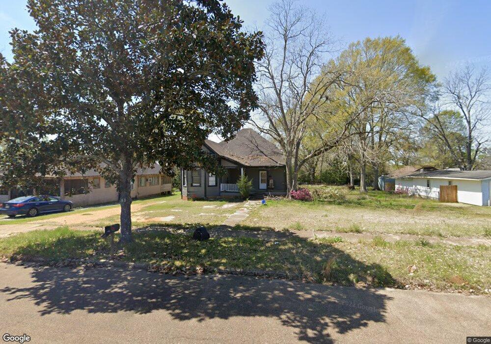
214 S Myrtle St McComb, MS 39648
Estimated Value: $46,004 - $79,000
--
Bed
--
Bath
480
Sq Ft
$122/Sq Ft
Est. Value
About This Home
This home is located at 214 S Myrtle St, McComb, MS 39648 and is currently estimated at $58,501, approximately $121 per square foot. 214 S Myrtle St is a home with nearby schools including Higgins Middle School, Otken Elementary School, and Denman Junior High School.
Ownership History
Date
Name
Owned For
Owner Type
Purchase Details
Closed on
Feb 6, 2009
Sold by
Ward Ottis L and Ward Sally B
Bought by
Moak Deborah H
Current Estimated Value
Home Financials for this Owner
Home Financials are based on the most recent Mortgage that was taken out on this home.
Original Mortgage
$222,940
Interest Rate
5.23%
Mortgage Type
Unknown
Purchase Details
Closed on
Jul 31, 2008
Sold by
Ward Ottis L and Ward Sally B
Bought by
Moak Deborah H
Home Financials for this Owner
Home Financials are based on the most recent Mortgage that was taken out on this home.
Original Mortgage
$176,000
Interest Rate
6.37%
Mortgage Type
Unknown
Create a Home Valuation Report for This Property
The Home Valuation Report is an in-depth analysis detailing your home's value as well as a comparison with similar homes in the area
Home Values in the Area
Average Home Value in this Area
Purchase History
| Date | Buyer | Sale Price | Title Company |
|---|---|---|---|
| Moak Deborah H | -- | None Available | |
| Moak Deborah H | -- | None Available |
Source: Public Records
Mortgage History
| Date | Status | Borrower | Loan Amount |
|---|---|---|---|
| Closed | Moak Deborah H | $222,940 | |
| Previous Owner | Moak Deborah H | $176,000 |
Source: Public Records
Tax History Compared to Growth
Tax History
| Year | Tax Paid | Tax Assessment Tax Assessment Total Assessment is a certain percentage of the fair market value that is determined by local assessors to be the total taxable value of land and additions on the property. | Land | Improvement |
|---|---|---|---|---|
| 2025 | $307 | $1,923 | $0 | $0 |
| 2024 | $307 | $1,717 | $0 | $0 |
| 2023 | $303 | $1,717 | $0 | $0 |
| 2022 | $757 | $4,350 | $0 | $0 |
| 2021 | $1,098 | $6,325 | $0 | $0 |
| 2020 | $1,050 | $6,046 | $0 | $0 |
| 2019 | $1,004 | $6,046 | $0 | $0 |
| 2018 | $975 | $6,046 | $0 | $0 |
| 2017 | $980 | $6,046 | $0 | $0 |
| 2016 | $973 | $6,046 | $0 | $0 |
| 2015 | $897 | $5,593 | $0 | $0 |
| 2014 | -- | $5,593 | $0 | $0 |
| 2013 | -- | $5,593 | $0 | $0 |
Source: Public Records
Map
Nearby Homes
- 133 N Live Oak St
- 143 N Myrtle St
- 133 N Chestnut St
- 1031 Pearl River Ave
- 1102 Pearl River Ave
- 505 S Magnolia St
- 1002 Avenue F
- 1002 Avenue F None
- 1019 Pearl River Avenue Extension
- 415 N Magnolia St
- 1004 Van Norman Curve
- 200-208 5th Ave
- 425 S Broadway St
- 1002 Pershing St
- 214 Thompson St
- 730 Vogel St
- 1148 Morgantown Rd
- 313 Louisiana Ave
- 1041 Van Norman Curve
- 321 W New York Ave
- 204 S Myrtle St
- 218 S Myrtle St
- 720 Avenue D
- 226& S Myrtle St
- 721 Avenue D
- 717 Avenue D
- 232 S Myrtle St
- 710 Avenue D
- 719 Avenue C
- 713 Avenue D
- 213 S Cherry St
- 209 S Cherry St
- 201 S Cherry St
- 715 Avenue C
- 800 Pearl River Ave
- 227 S Cherry St
- 217 S Cherry St
- 127 S Cherry St
- 229 S Cherry St
- 119 S Cherry St