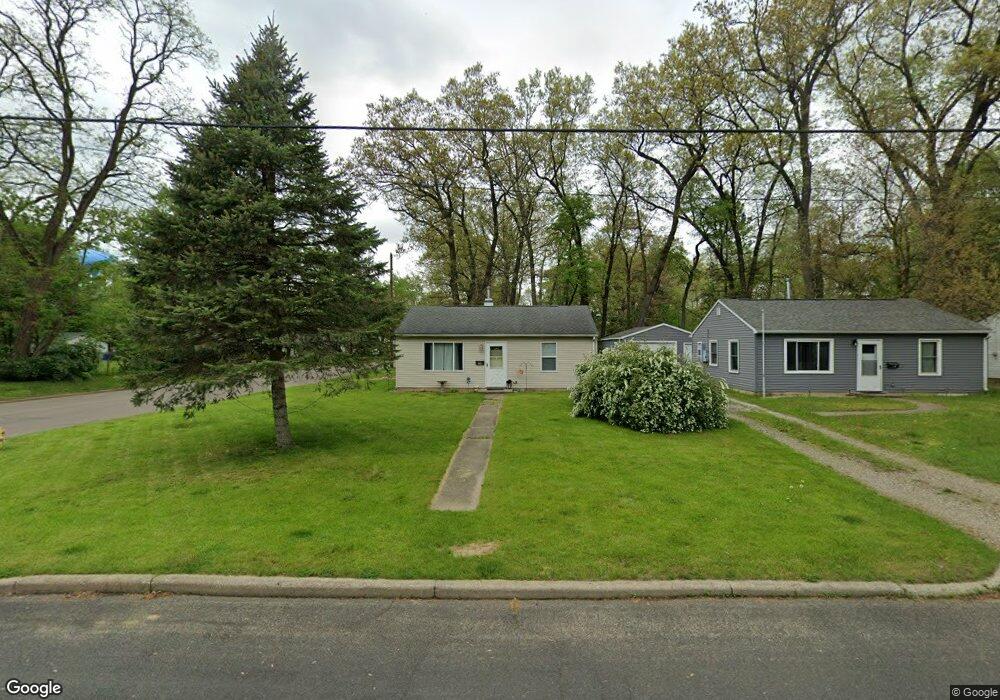
214 Spaulding Ave W Battle Creek, MI 49037
Urbandale NeighborhoodEstimated Value: $99,579 - $122,000
2
Beds
1
Bath
720
Sq Ft
$153/Sq Ft
Est. Value
About This Home
This home is located at 214 Spaulding Ave W, Battle Creek, MI 49037 and is currently estimated at $110,145, approximately $152 per square foot. 214 Spaulding Ave W is a home located in Calhoun County with nearby schools including LaMora Park School, Northwestern Middle School, and Battle Creek Central High School.
Ownership History
Date
Name
Owned For
Owner Type
Purchase Details
Closed on
Jan 24, 2005
Sold by
Peterson Robert W and Estate Of Robert O Peterson
Bought by
Bowers Martin D and Bowers Joan E
Current Estimated Value
Home Financials for this Owner
Home Financials are based on the most recent Mortgage that was taken out on this home.
Original Mortgage
$31,920
Outstanding Balance
$16,246
Interest Rate
5.77%
Mortgage Type
Purchase Money Mortgage
Estimated Equity
$93,899
Create a Home Valuation Report for This Property
The Home Valuation Report is an in-depth analysis detailing your home's value as well as a comparison with similar homes in the area
Home Values in the Area
Average Home Value in this Area
Purchase History
| Date | Buyer | Sale Price | Title Company |
|---|---|---|---|
| Bowers Martin D | $39,900 | Chicago Title Of Michigan |
Source: Public Records
Mortgage History
| Date | Status | Borrower | Loan Amount |
|---|---|---|---|
| Open | Bowers Martin D | $31,920 |
Source: Public Records
Tax History Compared to Growth
Tax History
| Year | Tax Paid | Tax Assessment Tax Assessment Total Assessment is a certain percentage of the fair market value that is determined by local assessors to be the total taxable value of land and additions on the property. | Land | Improvement |
|---|---|---|---|---|
| 2025 | -- | $33,700 | $0 | $0 |
| 2024 | $661 | $31,171 | $0 | $0 |
| 2023 | $841 | $25,301 | $0 | $0 |
| 2022 | $598 | $22,343 | $0 | $0 |
| 2021 | $799 | $21,174 | $0 | $0 |
| 2020 | $790 | $19,661 | $0 | $0 |
| 2019 | $749 | $18,572 | $0 | $0 |
| 2018 | $749 | $16,282 | $875 | $15,407 |
| 2017 | $729 | $14,531 | $0 | $0 |
| 2016 | $727 | $14,160 | $0 | $0 |
| 2015 | $713 | $13,840 | $2,456 | $11,384 |
| 2014 | $713 | $11,092 | $2,456 | $8,636 |
Source: Public Records
Map
Nearby Homes
- 163 Spaulding Ave W
- 116 Geneva Ave
- 180 Woodlawn Ave N
- 1823 Michigan Ave W
- 35 Avery Ave
- 213 Broadway Blvd
- 84 Lamora Ave
- 53 Lamora Ave
- 232 Woodlawn Ave N
- 244 Woodlawn Ave N
- 33 Shellenberger Ave
- 81 Taylor Ave
- 1528 Michigan Ave W
- 40 Kellogg St
- 133 Mosher Ave
- 217 Creekview Dr
- 430 Presidential Dr
- 420 Presidential Dr
- 134 Creekview Dr
- 338 Cross St
- 210 Spaulding Ave W
- 206 Spaulding Ave W
- 100 Sigel Ave
- 79 Sigel Ave
- 200 Spaulding Ave W
- 200 B__2f Spaulding
- 95 Sigel Ave
- 201 Shellenberger Ave
- 209 Spaulding Ave W
- 192 Spaulding Ave W
- 205 Spaulding Ave W
- 199 Spaulding Ave W
- 249 Spaulding Ave W
- 195 Spaulding Ave W
- 103 Sigel Ave
- 193 Shellenberger Ave
- 66 Broadway Blvd
- 76 Broadway Blvd
- 184 Spaulding Ave W
- 191 Spaulding Ave W