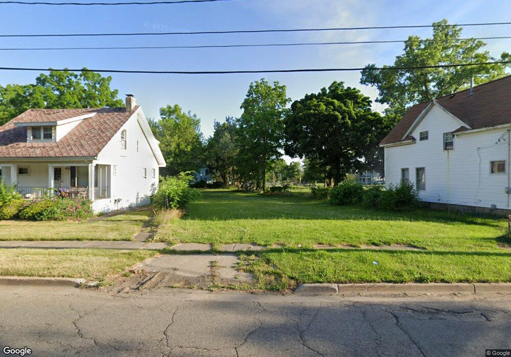
214 W 12th St Flint, MI 48503
South Parks NeighborhoodEstimated Value: $28,000 - $408,000
Studio
3
Baths
2,552
Sq Ft
$64/Sq Ft
Est. Value
About This Home
This home is located at 214 W 12th St, Flint, MI 48503 and is currently estimated at $164,000, approximately $64 per square foot. 214 W 12th St is a home located in Genesee County with nearby schools including Freeman Elementary School, Flint Southwestern Classical Academy, and International Academy of Flint (K-12).
Ownership History
Date
Name
Owned For
Owner Type
Purchase Details
Closed on
Oct 22, 2018
Sold by
Fcc Flint 2016 Llc
Bought by
Flint Edible
Current Estimated Value
Purchase Details
Closed on
May 12, 2016
Sold by
Flint River Farm Llc
Bought by
Fcc Flint 2016 Llc
Purchase Details
Closed on
Jul 13, 2015
Sold by
Genesee County Land Bank Authority
Bought by
Flint River Farm Llc
Purchase Details
Closed on
Dec 21, 2011
Sold by
Genesee County Treasurer
Bought by
Genesee County Land Bank
Purchase Details
Closed on
Oct 1, 2007
Sold by
Elyateem Sonia
Bought by
Calvo Sixto C and Calvo Margarita M
Purchase Details
Closed on
Apr 23, 2002
Sold by
Elyateem Sonia
Bought by
Parker Micah L
Create a Home Valuation Report for This Property
The Home Valuation Report is an in-depth analysis detailing your home's value as well as a comparison with similar homes in the area
Home Values in the Area
Average Home Value in this Area
Purchase History
| Date | Buyer | Sale Price | Title Company |
|---|---|---|---|
| Flint Edible | -- | None Available | |
| Fcc Flint 2016 Llc | $42,000 | First American Title Ins Co | |
| Flint River Farm Llc | $400 | Attorney | |
| Genesee County Land Bank | -- | None Available | |
| Calvo Sixto C | -- | None Available | |
| Parker Micah L | -- | Centennial Title Co |
Source: Public Records
Tax History
| Year | Tax Paid | Tax Assessment Tax Assessment Total Assessment is a certain percentage of the fair market value that is determined by local assessors to be the total taxable value of land and additions on the property. | Land | Improvement |
|---|---|---|---|---|
| 2025 | $62 | $0 | $0 | $0 |
| 2024 | $62 | $0 | $0 | $0 |
| 2023 | $72 | $0 | $0 | $0 |
| 2022 | $0 | $0 | $0 | $0 |
| 2021 | $292 | $3,000 | $0 | $0 |
| 2020 | $271 | $2,600 | $0 | $0 |
| 2019 | $110 | $0 | $0 | $0 |
| 2018 | $114 | $2,100 | $0 | $0 |
| 2017 | $41 | $0 | $0 | $0 |
| 2016 | $21 | $0 | $0 | $0 |
| 2015 | -- | $0 | $0 | $0 |
| 2014 | -- | $0 | $0 | $0 |
| 2012 | -- | $0 | $0 | $0 |
Source: Public Records
Map
Nearby Homes
- 1517 Tacoma St
- 1511 Tacoma St
- 517 Morley Ave
- 636 Partridge St
- 420 Pingree Ave
- 1114 S Grand Traverse St
- 1720 Park St
- 1701 Park St
- 2050 Ferris Ave
- 1215 S Grand Traverse St
- A Avenue
- 149 E Tobias St
- 211 W 5th St
- 149 E Linsey Blvd
- 133 E Oakley St
- 2010 Crocker Ave
- 812 Remington Ave
- 1708 Fenton Rd
- 2224 Crocker Ave
- 834 Remington Ave
Your Personal Tour Guide
Ask me questions while you tour the home.