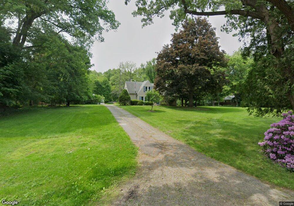
214 W Hamilton Ln Battle Creek, MI 49015
Minges Brook Riverside NeighborhoodEstimated Value: $297,000 - $322,000
4
Beds
2
Baths
2,084
Sq Ft
$150/Sq Ft
Est. Value
About This Home
This home is located at 214 W Hamilton Ln, Battle Creek, MI 49015 and is currently estimated at $311,734, approximately $149 per square foot. 214 W Hamilton Ln is a home located in Calhoun County with nearby schools including Lakeview Middle School, Lakeview High School, and Arbor Academy.
Ownership History
Date
Name
Owned For
Owner Type
Purchase Details
Closed on
Dec 15, 2010
Sold by
Prudential Relocation Inc
Bought by
The James A Morgan & Sharon R Morgan Rev
Current Estimated Value
Home Financials for this Owner
Home Financials are based on the most recent Mortgage that was taken out on this home.
Original Mortgage
$103,000
Outstanding Balance
$75,608
Interest Rate
6%
Mortgage Type
New Conventional
Estimated Equity
$236,127
Purchase Details
Closed on
Dec 11, 2010
Sold by
Owens Daniel W
Bought by
Prudential Relocation Inc
Home Financials for this Owner
Home Financials are based on the most recent Mortgage that was taken out on this home.
Original Mortgage
$103,000
Outstanding Balance
$75,608
Interest Rate
6%
Mortgage Type
New Conventional
Estimated Equity
$236,127
Create a Home Valuation Report for This Property
The Home Valuation Report is an in-depth analysis detailing your home's value as well as a comparison with similar homes in the area
Home Values in the Area
Average Home Value in this Area
Purchase History
| Date | Buyer | Sale Price | Title Company |
|---|---|---|---|
| The James A Morgan & Sharon R Morgan Rev | $98,000 | None Available | |
| Prudential Relocation Inc | $98,000 | None Available |
Source: Public Records
Mortgage History
| Date | Status | Borrower | Loan Amount |
|---|---|---|---|
| Open | The James A Morgan & Sharon R Morgan Rev | $103,000 |
Source: Public Records
Tax History Compared to Growth
Tax History
| Year | Tax Paid | Tax Assessment Tax Assessment Total Assessment is a certain percentage of the fair market value that is determined by local assessors to be the total taxable value of land and additions on the property. | Land | Improvement |
|---|---|---|---|---|
| 2025 | -- | $155,800 | $0 | $0 |
| 2024 | $3,891 | $147,589 | $0 | $0 |
| 2023 | $4,430 | $127,203 | $0 | $0 |
| 2022 | $3,514 | $107,335 | $0 | $0 |
| 2021 | $4,315 | $106,342 | $0 | $0 |
| 2020 | $4,270 | $103,110 | $0 | $0 |
| 2019 | $4,042 | $97,301 | $0 | $0 |
| 2018 | $4,042 | $95,916 | $21,834 | $74,082 |
| 2017 | $3,920 | $92,280 | $0 | $0 |
| 2016 | $3,913 | $90,668 | $0 | $0 |
| 2015 | $3,640 | $88,311 | $16,608 | $71,703 |
| 2014 | $3,640 | $81,390 | $16,608 | $64,782 |
Source: Public Records
Map
Nearby Homes
- 219 W Hamilton Ln
- 25 Minges Rd W
- 292 W Hamilton Ln
- 29 Langley Rd E
- 33 Langley Rd E
- 148 Wahwahtaysee Way
- 117 Pheasant Run
- 66 Wealthy
- 211 Beckwith Dr
- 15 Timothy Ln
- 215 Beckwith Dr
- 4281 Watkins Rd
- 4275 Watkins Rd
- 220 Deer Path Ln
- 168 Pheasant Run
- 244 Deer Path Ln
- 15 Birch Hill Dr
- 348 S Hills Dr
- 160 Lincoln Hill Dr
- 68 Birch Hill Dr
- 200 W Hamilton Ln
- 220 W Hamilton Ln
- 224 W Hamilton Ln
- 215 W Hamilton Ln
- 122 Elsinore Ln
- 186 W Hamilton Cir
- 186 W Hamilton Cir
- 124 Elsinore Ln
- 223 W Hamilton Ln
- 274 Watkins Ln
- 153 W Hamilton Ln
- 180 W Hamilton Cir
- 180 W Hamilton Cir
- 120 Elsinore Ln
- 176 W Hamilton Cir
- 230 W Hamilton Ln
- 172 W Hamilton Cir
- 172 W Hamilton Cir
- 227 W Hamilton Ln
- 262 Watkins Ln