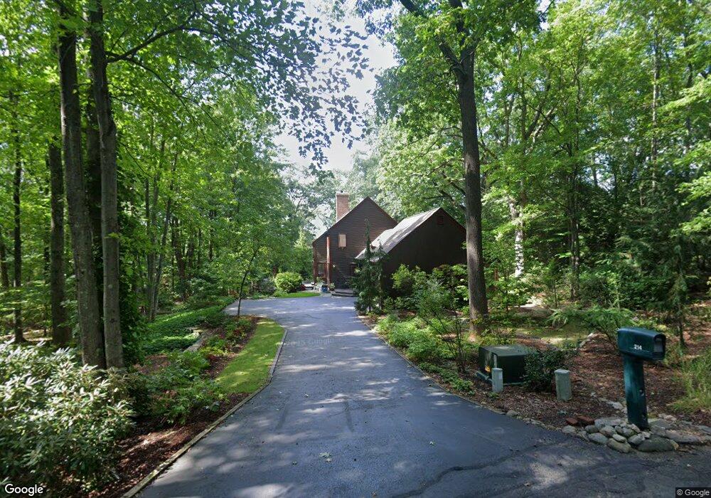
214 Warner St Florence, MA 01062
Florence NeighborhoodEstimated Value: $637,000 - $925,000
3
Beds
2
Baths
2,505
Sq Ft
$310/Sq Ft
Est. Value
About This Home
This home is located at 214 Warner St, Florence, MA 01062 and is currently estimated at $775,475, approximately $309 per square foot. 214 Warner St is a home located in Hampshire County with nearby schools including Northampton High School, The Montessori School of Northampton, and Lander Grinspoon Academy.
Ownership History
Date
Name
Owned For
Owner Type
Purchase Details
Closed on
Apr 1, 2021
Sold by
Burger Ann M
Bought by
Ann Moss Burger T
Current Estimated Value
Purchase Details
Closed on
Jul 26, 1983
Bought by
Burger H Robert and Burger Ann M
Create a Home Valuation Report for This Property
The Home Valuation Report is an in-depth analysis detailing your home's value as well as a comparison with similar homes in the area
Home Values in the Area
Average Home Value in this Area
Purchase History
| Date | Buyer | Sale Price | Title Company |
|---|---|---|---|
| Ann Moss Burger T | -- | None Available | |
| Burger H Robert | -- | -- |
Source: Public Records
Tax History
| Year | Tax Paid | Tax Assessment Tax Assessment Total Assessment is a certain percentage of the fair market value that is determined by local assessors to be the total taxable value of land and additions on the property. | Land | Improvement |
|---|---|---|---|---|
| 2025 | $9,158 | $657,400 | $136,400 | $521,000 |
| 2024 | $9,354 | $615,800 | $136,400 | $479,400 |
| 2023 | $8,677 | $547,800 | $123,600 | $424,200 |
| 2022 | $8,396 | $469,300 | $123,600 | $345,700 |
| 2021 | $7,384 | $425,100 | $118,500 | $306,600 |
| 2020 | $7,142 | $425,100 | $118,500 | $306,600 |
| 2019 | $6,641 | $382,300 | $103,300 | $279,000 |
| 2018 | $6,352 | $369,500 | $103,300 | $266,200 |
| 2017 | $6,167 | $369,500 | $103,300 | $266,200 |
| 2016 | $5,971 | $369,500 | $103,300 | $266,200 |
| 2015 | $5,972 | $378,000 | $103,300 | $274,700 |
| 2014 | $5,817 | $378,000 | $103,300 | $274,700 |
Source: Public Records
Map
Nearby Homes
- 37 Landy Ave
- 63 Riverside Dr
- 42 Clark St
- 76 Maple St
- 67 Park St Unit A
- 44 Sheffield Ln
- 575 Bridge Rd Unit 12-7
- 575 Bridge Rd Unit 10-5
- 0 Terrace Ln
- 61 Woodlawn Ave
- 61 Harrison Ave
- 635 Florence Rd
- 218 Elm St
- 23 Ford Crossing
- 296 Ryan Rd Unit A
- 296 Ryan Rd
- 296 Ryan Rd Unit B
- 697 Florence Rd
- 815 Burts Pit Rd
- 2 Juniper Place
- 419 Riverside Dr
- 188 Warner St
- 193 Warner St
- 201 Warner St
- 70 Liberty St
- 74 Liberty St
- 393 Riverside Dr
- 64 Liberty St
- 82 Maplewood Terrace
- 71 Liberty St
- 48 Lexington Ave
- 45 Lexington Ave
- 96 Maplewood Terrace
- 67 Liberty St
- 138 Warner St
- 158 Baker Hill Rd
- 167 Baker Hill Rd
- 56 Liberty St
- 102 Maplewood Terrace
- 42 Lexington Ave
Your Personal Tour Guide
Ask me questions while you tour the home.