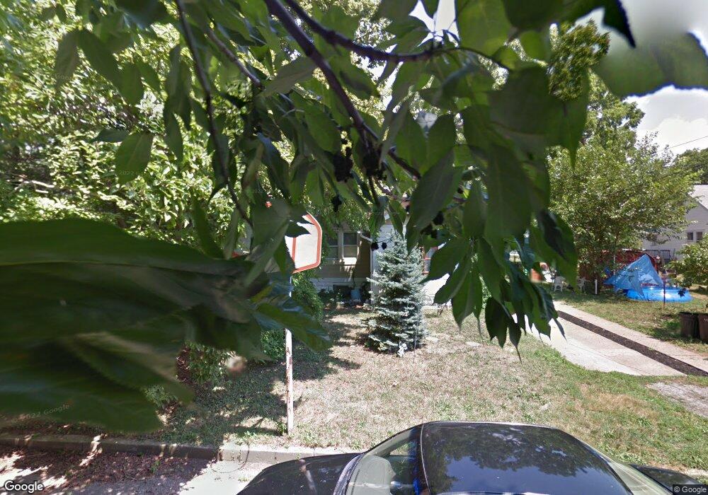
2140 Mulford Ave Pennsauken, NJ 08110
Estimated Value: $239,280 - $347,000
--
Bed
--
Bath
1,626
Sq Ft
$191/Sq Ft
Est. Value
About This Home
This home is located at 2140 Mulford Ave, Pennsauken, NJ 08110 and is currently estimated at $310,320, approximately $190 per square foot. 2140 Mulford Ave is a home located in Camden County with nearby schools including Pennsauken High School, St. Peter Elementary School, and St. Cecilia School.
Ownership History
Date
Name
Owned For
Owner Type
Purchase Details
Closed on
Jul 15, 2022
Sold by
Lou Jackson Betty
Bought by
Jackson Deanna
Current Estimated Value
Home Financials for this Owner
Home Financials are based on the most recent Mortgage that was taken out on this home.
Original Mortgage
$144,000
Outstanding Balance
$137,246
Interest Rate
5.3%
Mortgage Type
New Conventional
Estimated Equity
$173,074
Purchase Details
Closed on
Dec 12, 1958
Bought by
Jackson Theodore J and Betty Lou
Create a Home Valuation Report for This Property
The Home Valuation Report is an in-depth analysis detailing your home's value as well as a comparison with similar homes in the area
Home Values in the Area
Average Home Value in this Area
Purchase History
| Date | Buyer | Sale Price | Title Company |
|---|---|---|---|
| Jackson Deanna | $160,000 | -- | |
| Jackson Deanna | $160,000 | Trident Land Transfer | |
| Jackson Theodore J | -- | -- |
Source: Public Records
Mortgage History
| Date | Status | Borrower | Loan Amount |
|---|---|---|---|
| Open | Jackson Deanna | $144,000 | |
| Closed | Jackson Deanna | $144,000 |
Source: Public Records
Tax History Compared to Growth
Tax History
| Year | Tax Paid | Tax Assessment Tax Assessment Total Assessment is a certain percentage of the fair market value that is determined by local assessors to be the total taxable value of land and additions on the property. | Land | Improvement |
|---|---|---|---|---|
| 2025 | $5,484 | $347,100 | $49,400 | $297,700 |
| 2024 | $5,378 | $126,000 | $40,400 | $85,600 |
| 2023 | $5,378 | $126,000 | $40,400 | $85,600 |
| 2022 | $4,382 | $126,000 | $40,400 | $85,600 |
| 2021 | $4,382 | $126,000 | $40,400 | $85,600 |
| 2020 | $4,473 | $126,000 | $40,400 | $85,600 |
| 2019 | $4,525 | $126,000 | $40,400 | $85,600 |
| 2018 | $4,549 | $126,000 | $40,400 | $85,600 |
| 2017 | $4,557 | $126,000 | $40,400 | $85,600 |
| 2016 | $4,476 | $126,000 | $40,400 | $85,600 |
| 2015 | $4,359 | $126,000 | $40,400 | $85,600 |
| 2014 | $4,144 | $79,000 | $21,000 | $58,000 |
Source: Public Records
Map
Nearby Homes
- 2117 Penn St
- 2217 Hillcrest Ave
- 2254 Hollinshed Ave
- 2269 Marlon Ave
- 1765 Hillcrest Ave
- 6134 Grant Ave
- 6151 Harvey Ave
- 1506 Hollinshed Ave
- 5507 Wayne Ave
- 2429 Norwood Ave
- 2154 Browning Rd
- 3204 Merchantville Ave
- 6116 Rogers Ave
- 2905 N Centre St
- 5745 Cedar Ave
- 1666 Browning Rd
- 6902 Collins Ave
- 4747 Westfield Ave
- 5532 Whitman Terrace
- 7028 Collins Ave
- 6129 Camden Ave
- 6137 Camden Ave
- 2143 Scovel Ave
- 2137 Scovel Ave
- 2147 Scovel Ave
- 2131 Scovel Ave
- 6123 Camden Ave
- 6145 Camden Ave
- 2125 Scovel Ave
- 6121 Camden Ave
- 2117 Scovel Ave
- 6115 Camden Ave
- 6130 Camden Ave
- 6138 Camden Ave
- 6201 Camden Ave
- 6124 Camden Ave
- 2146 Horner Ave
- 2136 Scovel Ave
- 2140 Scovel Ave
- 2132 Scovel Ave