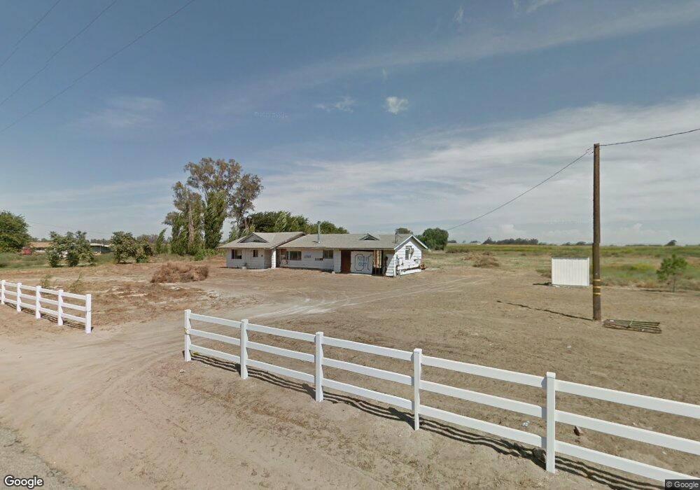
2140 Nelander Rd Stevinson, CA 95374
Estimated Value: $507,000 - $976,000
4
Beds
4
Baths
2,740
Sq Ft
$269/Sq Ft
Est. Value
About This Home
This home is located at 2140 Nelander Rd, Stevinson, CA 95374 and is currently estimated at $736,672, approximately $268 per square foot. 2140 Nelander Rd is a home located in Merced County with nearby schools including Hilmar High School.
Ownership History
Date
Name
Owned For
Owner Type
Purchase Details
Closed on
Aug 23, 2017
Sold by
Reyes Kathryn and Reyes Gilbert
Bought by
The Department Of Veterans Affairs
Current Estimated Value
Purchase Details
Closed on
Jul 1, 2011
Sold by
Taylor Beulah M
Bought by
Reyes Kathryn and Reyes Gilbert
Home Financials for this Owner
Home Financials are based on the most recent Mortgage that was taken out on this home.
Original Mortgage
$43,000
Interest Rate
4.54%
Mortgage Type
Seller Take Back
Create a Home Valuation Report for This Property
The Home Valuation Report is an in-depth analysis detailing your home's value as well as a comparison with similar homes in the area
Home Values in the Area
Average Home Value in this Area
Purchase History
| Date | Buyer | Sale Price | Title Company |
|---|---|---|---|
| The Department Of Veterans Affairs | -- | First American Title Company | |
| Reyes Kathryn | $60,000 | First American Title Company |
Source: Public Records
Mortgage History
| Date | Status | Borrower | Loan Amount |
|---|---|---|---|
| Previous Owner | Reyes Kathryn | $43,000 |
Source: Public Records
Tax History Compared to Growth
Tax History
| Year | Tax Paid | Tax Assessment Tax Assessment Total Assessment is a certain percentage of the fair market value that is determined by local assessors to be the total taxable value of land and additions on the property. | Land | Improvement |
|---|---|---|---|---|
| 2025 | $5,333 | $497,940 | $75,357 | $422,583 |
| 2024 | $5,333 | $488,178 | $73,880 | $414,298 |
| 2023 | $5,185 | $478,607 | $72,432 | $406,175 |
| 2022 | $5,107 | $469,223 | $71,012 | $398,211 |
| 2021 | $5,022 | $460,023 | $69,620 | $390,403 |
| 2020 | $4,344 | $395,307 | $68,907 | $326,400 |
| 2019 | $4,322 | $387,556 | $67,556 | $320,000 |
| 2018 | $1,293 | $116,232 | $66,232 | $50,000 |
| 2017 | $761 | $64,934 | $64,934 | $0 |
| 2016 | $747 | $63,661 | $63,661 | $0 |
| 2015 | $739 | $62,705 | $62,705 | $0 |
| 2014 | $724 | $61,477 | $61,477 | $0 |
Source: Public Records
Map
Nearby Homes
- 2090 Nelander Rd
- 19247 Third Ave
- 19247 3rd Ave
- 19737 California 140
- 1 2848 4th St
- 0 4th St Unit 225111041
- 0 2848 4th St
- 21160 Second Ave
- 21397 Second Ave
- 21330 2nd Ave
- 21975 State Highway 140
- 0 Longview Ave Unit 22467624
- 0 Longview Ave Unit 22855630
- 4108-4498 Weir Ave
- 19605 Turner Ave
- 15544 Atwater Jordan Rd
- 15490 Atwater Jordan Rd
- 2 Longview Ave
- 1 Longview Ave
- 15238 Sunset Dr
- 2190 Nelander Rd
- 2228 Nelander Rd
- 2050 Nelander Rd
- 1980 Nelander Rd
- 2388 Nelander Rd
- 19134 Fourth Ave
- 19380 State Highway 140
- 19380 State Highway 140
- 19600 State Highway 140
- 2713 Nelander Rd
- 19316 State Highway 140
- 19697 State Highway 140
- 19697 State Highway 140
- 19605 State Highway 140
- 19345 Third Ave
- 1966 Lander Ave
- 00000 4th Ave
- 4 4th Ave
- 2 4th Ave
- 3 4th Ave