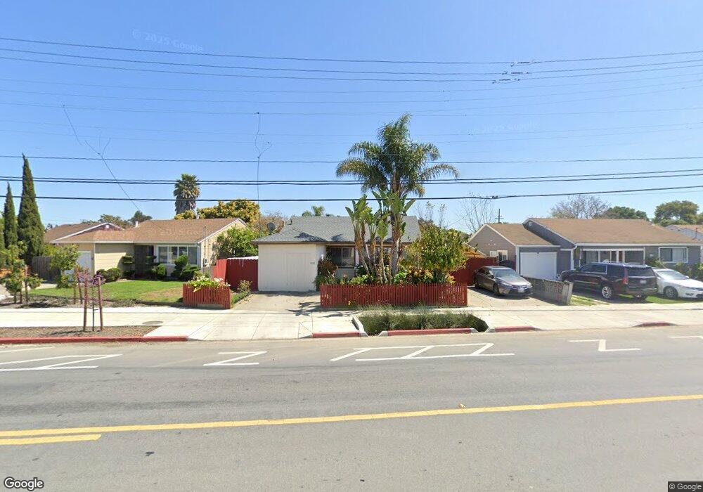
2140 Rumrill Blvd San Pablo, CA 94806
Estimated Value: $458,000 - $614,000
3
Beds
2
Baths
1,342
Sq Ft
$402/Sq Ft
Est. Value
About This Home
This home is located at 2140 Rumrill Blvd, San Pablo, CA 94806 and is currently estimated at $539,395, approximately $401 per square foot. 2140 Rumrill Blvd is a home located in Contra Costa County with nearby schools including Dover Elementary School, Walter T. Helms Middle School, and Richmond High School.
Ownership History
Date
Name
Owned For
Owner Type
Purchase Details
Closed on
Nov 27, 2013
Sold by
Liljegren Richard D and Andres Belva Jane
Bought by
Phanhdara Chanhday and Phanhdara Liane
Current Estimated Value
Purchase Details
Closed on
Mar 19, 2010
Sold by
Phanhdara Chanhday and Phanhdara Liane
Bought by
Liljegren David Edwin and Liljegren Alvina Margaret
Home Financials for this Owner
Home Financials are based on the most recent Mortgage that was taken out on this home.
Original Mortgage
$105,000
Interest Rate
4.94%
Mortgage Type
New Conventional
Create a Home Valuation Report for This Property
The Home Valuation Report is an in-depth analysis detailing your home's value as well as a comparison with similar homes in the area
Home Values in the Area
Average Home Value in this Area
Purchase History
| Date | Buyer | Sale Price | Title Company |
|---|---|---|---|
| Phanhdara Chanhday | -- | None Available | |
| Liljegren David Edwin | $140,000 | North American Title Company |
Source: Public Records
Mortgage History
| Date | Status | Borrower | Loan Amount |
|---|---|---|---|
| Previous Owner | Liljegren David Edwin | $105,000 |
Source: Public Records
Tax History
| Year | Tax Paid | Tax Assessment Tax Assessment Total Assessment is a certain percentage of the fair market value that is determined by local assessors to be the total taxable value of land and additions on the property. | Land | Improvement |
|---|---|---|---|---|
| 2025 | $4,367 | $245,162 | $159,358 | $85,804 |
| 2024 | $4,170 | $240,356 | $156,234 | $84,122 |
| 2023 | $4,170 | $235,644 | $153,171 | $82,473 |
| 2022 | $4,099 | $231,024 | $150,168 | $80,856 |
| 2021 | $4,063 | $226,495 | $147,224 | $79,271 |
| 2019 | $3,851 | $219,779 | $142,858 | $76,921 |
| 2018 | $3,694 | $215,470 | $140,057 | $75,413 |
| 2017 | $3,589 | $211,246 | $137,311 | $73,935 |
| 2016 | $3,517 | $207,105 | $134,619 | $72,486 |
| 2015 | $3,482 | $203,995 | $132,597 | $71,398 |
| 2014 | $3,454 | $200,000 | $130,000 | $70,000 |
Source: Public Records
Map
Nearby Homes
- 2190 Giant Rd
- 1780 Road 20
- 113 Westgate Cir
- 1413 Post Ave
- 812 Market Ave
- 2036 Brookside Dr
- 1945 21st St
- 2011 Market Ave Unit 317
- 1800 Post Ave
- 2600 Giant Rd Unit 37
- 1034 Trenton Blvd
- 1971 23rd St
- 1550 Rumrill Blvd
- 2138 Market Ave
- 1721 Giaramita St
- 1723 Emeric Ave
- 2729 18th St
- 1828 Truman St
- 110 Del Alba St
- 2796 13th St
- 1300 Brookside Dr
- 2126 Rumrill Blvd
- 1312 Brookside Dr
- 1363 Manor Dr
- 2114 Rumrill Blvd
- 1355 Manor Dr
- 1371 Manor Dr
- 1345 Manor Dr
- 1324 Brookside Dr
- 1305 Manor Dr
- 1335 Manor Dr
- 1381 Manor Dr
- 1336 Brookside Dr
- 1352 Manor Dr
- 1411 Manor Dr
- 1400 Brookside Dr
- 1304 Manor Dr
- 2145 Rumrill Blvd
- 1336 Manor Dr
- 1422 Manor Dr
Your Personal Tour Guide
Ask me questions while you tour the home.