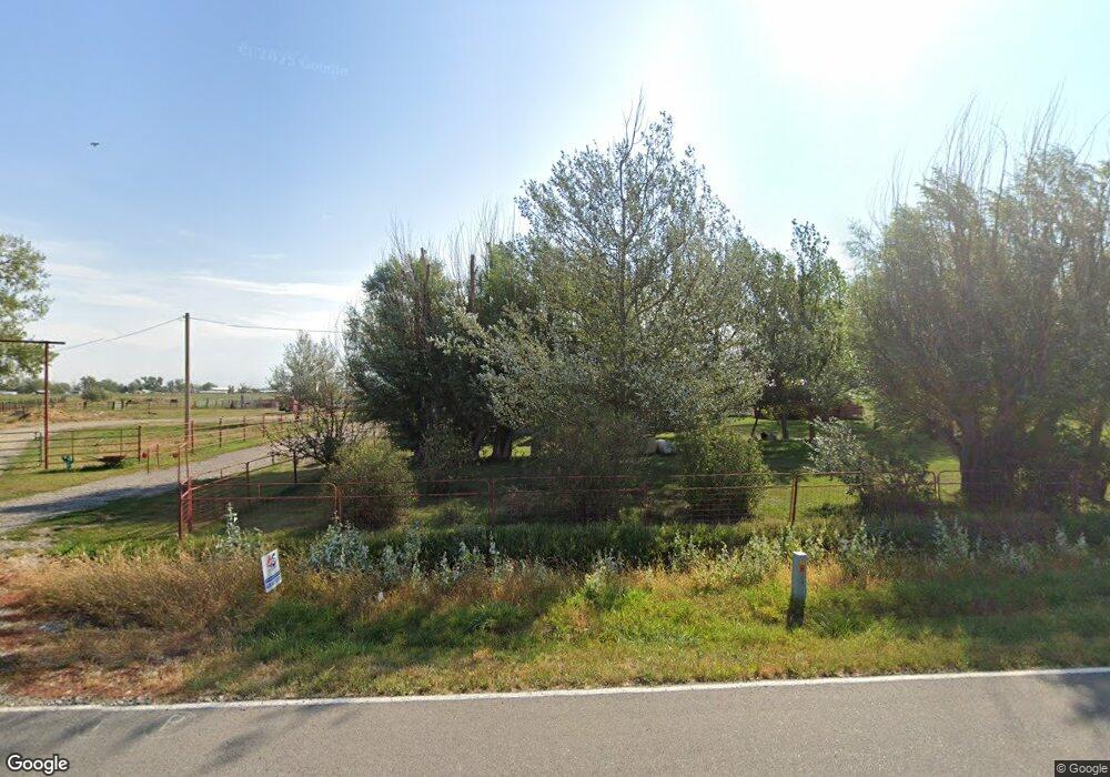
2141 N 7th Rd Huntley, MT 59037
Estimated Value: $409,000 - $582,510
4
Beds
1
Bath
2,592
Sq Ft
$199/Sq Ft
Est. Value
About This Home
This home is located at 2141 N 7th Rd, Huntley, MT 59037 and is currently estimated at $515,128, approximately $198 per square foot. 2141 N 7th Rd is a home located in Yellowstone County with nearby schools including Huntley Project Elementary School, Huntley Project Junior High School, and Huntley Project High School.
Ownership History
Date
Name
Owned For
Owner Type
Purchase Details
Closed on
Apr 17, 2024
Sold by
Mcmillan Leland J
Bought by
Mcmillan Kathryn B
Current Estimated Value
Purchase Details
Closed on
Apr 29, 2011
Sold by
Houlihan Larry and Houlihan Val
Bought by
Mcmillan Leland J and Mcmillan Kathryn B
Home Financials for this Owner
Home Financials are based on the most recent Mortgage that was taken out on this home.
Original Mortgage
$165,600
Interest Rate
4.72%
Mortgage Type
New Conventional
Create a Home Valuation Report for This Property
The Home Valuation Report is an in-depth analysis detailing your home's value as well as a comparison with similar homes in the area
Home Values in the Area
Average Home Value in this Area
Purchase History
| Date | Buyer | Sale Price | Title Company |
|---|---|---|---|
| Mcmillan Kathryn B | -- | None Listed On Document | |
| Mcmillan Leland J | -- | None Available |
Source: Public Records
Mortgage History
| Date | Status | Borrower | Loan Amount |
|---|---|---|---|
| Previous Owner | Mcmillan Leland J | $165,600 |
Source: Public Records
Tax History Compared to Growth
Tax History
| Year | Tax Paid | Tax Assessment Tax Assessment Total Assessment is a certain percentage of the fair market value that is determined by local assessors to be the total taxable value of land and additions on the property. | Land | Improvement |
|---|---|---|---|---|
| 2025 | $2,997 | $514,800 | $212,344 | $302,456 |
| 2024 | $2,997 | $396,600 | $139,702 | $256,898 |
| 2023 | $3,517 | $396,600 | $139,702 | $256,898 |
| 2022 | $2,292 | $302,800 | $0 | $0 |
| 2021 | $2,954 | $302,800 | $0 | $0 |
| 2020 | $2,952 | $298,000 | $0 | $0 |
| 2019 | $2,889 | $298,000 | $0 | $0 |
| 2018 | $2,843 | $273,700 | $0 | $0 |
| 2017 | $2,805 | $273,700 | $0 | $0 |
| 2016 | $2,604 | $274,600 | $0 | $0 |
| 2015 | $2,762 | $274,600 | $0 | $0 |
| 2014 | $2,654 | $140,980 | $0 | $0 |
Source: Public Records
Map
Nearby Homes
- 1225 Homestead Dr
- 2285 N 9th Rd
- 2573 Road 8
- 8700 Fox Run
- 7500 Eagle Bend Blvd
- 2573 N 8th Rd
- 10052 Floating Island Way
- 2293 N 12th Rd
- 6835 Eagle Bend Blvd
- 2085 S 13th Rd
- 6732 Pinto Dr
- 0 Great Northern Unit 354449
- 119 Peritse Ave
- Lot 3 Pryor Creek Rd
- 2464 4th St
- 5652 Bengston Rd
- 2466 2nd St
- 2485 2nd St
- 2489 2nd St
- 2493 2nd St