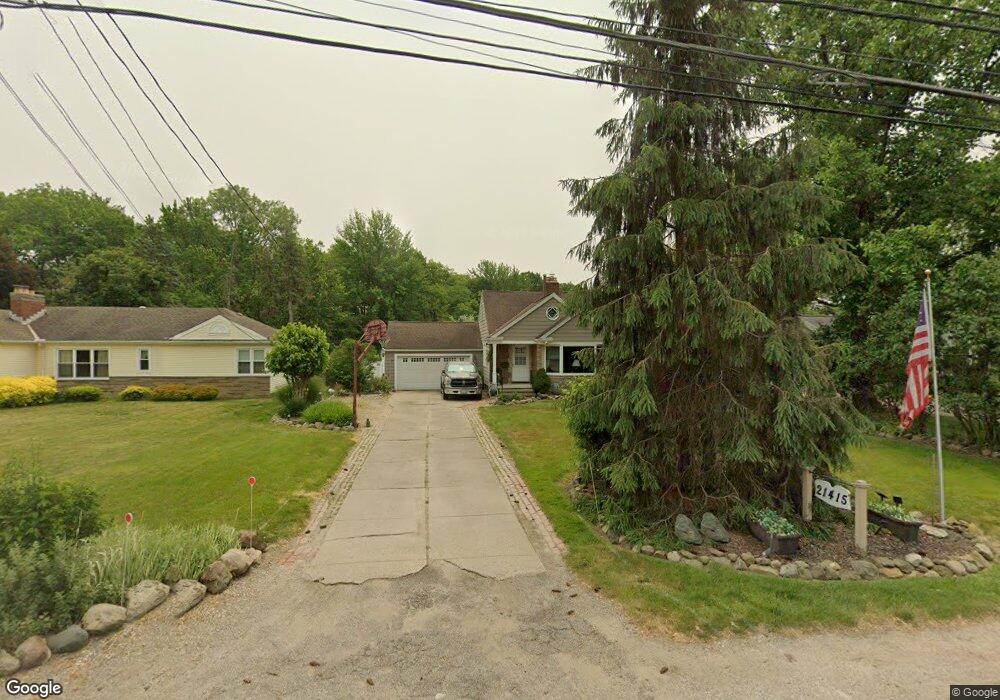
21415 Mastick Rd Cleveland, OH 44126
Estimated Value: $276,000 - $321,000
3
Beds
1
Bath
1,557
Sq Ft
$189/Sq Ft
Est. Value
About This Home
This home is located at 21415 Mastick Rd, Cleveland, OH 44126 and is currently estimated at $294,359, approximately $189 per square foot. 21415 Mastick Rd is a home located in Cuyahoga County with nearby schools including Gilles-Sweet Elementary School, Lewis F Mayer Middle School, and Fairview High School.
Ownership History
Date
Name
Owned For
Owner Type
Purchase Details
Closed on
Oct 28, 1992
Sold by
Peterson Catherine
Bought by
Sabo Albert J
Current Estimated Value
Purchase Details
Closed on
Aug 15, 1988
Sold by
Dale Dale D D and Dale Catherine
Bought by
Peterson Catherine
Purchase Details
Closed on
Feb 19, 1985
Sold by
Peterson Dale D and Peterson Catherine
Bought by
Dale Dale D and Dale Catherine
Purchase Details
Closed on
Jan 1, 1975
Bought by
Peterson Dale D and Peterson Catherine
Create a Home Valuation Report for This Property
The Home Valuation Report is an in-depth analysis detailing your home's value as well as a comparison with similar homes in the area
Home Values in the Area
Average Home Value in this Area
Purchase History
| Date | Buyer | Sale Price | Title Company |
|---|---|---|---|
| Sabo Albert J | $100,000 | -- | |
| Peterson Catherine | -- | -- | |
| Dale Dale D | -- | -- | |
| Peterson Dale D | -- | -- |
Source: Public Records
Tax History Compared to Growth
Tax History
| Year | Tax Paid | Tax Assessment Tax Assessment Total Assessment is a certain percentage of the fair market value that is determined by local assessors to be the total taxable value of land and additions on the property. | Land | Improvement |
|---|---|---|---|---|
| 2024 | $6,396 | $93,240 | $18,340 | $74,900 |
| 2023 | $5,157 | $64,020 | $12,320 | $51,700 |
| 2022 | $5,029 | $64,020 | $12,320 | $51,700 |
| 2021 | $5,135 | $64,020 | $12,320 | $51,700 |
| 2020 | $4,724 | $51,630 | $9,940 | $41,690 |
| 2019 | $4,200 | $147,500 | $28,400 | $119,100 |
| 2018 | $4,002 | $51,630 | $9,940 | $41,690 |
| 2017 | $3,984 | $45,220 | $10,010 | $35,210 |
| 2016 | $3,958 | $45,220 | $10,010 | $35,210 |
| 2015 | $3,806 | $45,220 | $10,010 | $35,210 |
| 2014 | $3,806 | $43,890 | $9,730 | $34,160 |
Source: Public Records
Map
Nearby Homes
- 20930 Mastick Rd
- 5951 Rockport Ln
- 22247 Mastick Rd
- 22534 Bard Ave
- 22503 Sandy Ln
- 22506 Sharon Ln
- 22045 Morton Ave
- 4710 Grayton Rd
- 4720 Grayton Rd
- 4627 W 223rd St
- 21437 Hillsdale Ave
- 4464 W 224th St
- 22934 Mastick Rd Unit 102
- 21763 Hillsdale Ave
- 22895 Mastick Rd
- 4514 Orchard Rd
- 4309 W 222nd St
- 19631 Thornridge Ave
- 4401 Fairview Park
- 22968 Maple Ridge Rd Unit 103
- 21429 Mastick Rd
- 21399 Mastick Rd
- 21350 Mastick Rd
- 21445 Mastick Rd
- 21387 Mastick Rd
- 21380 Mastick Rd
- 21461 Mastick Rd
- 21465 Kings Hwy
- 21375 Mastick Rd
- 21440 Riviera Dr
- 21450 Riviera Dr
- 21400 Mastick Rd
- 21477 Mastick Rd
- 21345 Mastick Rd
- 21435 Riviera Dr
- 21440 Mastick Rd
- 21460 Riviera Dr
- 21460 Mastick Rd
- 21300 Mastick Rd
- 21495 Mastick Rd