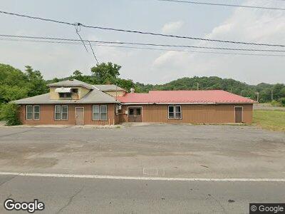
21415 Queens Point Rd SW Westernport, MD 21562
--
Bed
--
Bath
5,880
Sq Ft
1.09
Acres
About This Home
This home is located at 21415 Queens Point Rd SW, Westernport, MD 21562. 21415 Queens Point Rd SW is a home located in Allegany County with nearby schools including Westernport Elementary School, Westmar Middle School, and Mountain Ridge High School.
Ownership History
Date
Name
Owned For
Owner Type
Purchase Details
Closed on
Feb 19, 2019
Sold by
First Oreo Trust
Bought by
Tri Star Property Management Inc
Purchase Details
Closed on
Oct 29, 2018
Sold by
First Oreo Trust
Bought by
Tri State Property Management Inc
Purchase Details
Closed on
Jul 21, 2017
Sold by
Hamburger Haven Inc
Bought by
First Oreo Trust
Purchase Details
Closed on
May 2, 1990
Sold by
Mcginnis Derl Grey
Bought by
Hamburger Haven Inc
Home Financials for this Owner
Home Financials are based on the most recent Mortgage that was taken out on this home.
Original Mortgage
$165,000
Interest Rate
10.56%
Create a Home Valuation Report for This Property
The Home Valuation Report is an in-depth analysis detailing your home's value as well as a comparison with similar homes in the area
Home Values in the Area
Average Home Value in this Area
Purchase History
| Date | Buyer | Sale Price | Title Company |
|---|---|---|---|
| Tri State Property Management Inc | $25,000 | None Available | |
| First Oreo Trust | $225,000 | None Available | |
| Hamburger Haven Inc | $196,800 | -- |
Source: Public Records
Mortgage History
| Date | Status | Borrower | Loan Amount |
|---|---|---|---|
| Previous Owner | Hamburger Haven Inc | $374,400 | |
| Previous Owner | Hamburger Haven Inc | $165,000 |
Source: Public Records
Tax History Compared to Growth
Tax History
| Year | Tax Paid | Tax Assessment Tax Assessment Total Assessment is a certain percentage of the fair market value that is determined by local assessors to be the total taxable value of land and additions on the property. | Land | Improvement |
|---|---|---|---|---|
| 2024 | $1,275 | $110,100 | $48,900 | $61,200 |
| 2023 | $1,197 | $110,100 | $48,900 | $61,200 |
| 2022 | $1,510 | $130,400 | $48,900 | $81,500 |
| 2021 | $1,496 | $130,400 | $48,900 | $81,500 |
| 2020 | $1,510 | $130,400 | $48,900 | $81,500 |
| 2019 | $2,225 | $193,900 | $48,900 | $145,000 |
| 2018 | $2,225 | $193,900 | $48,900 | $145,000 |
| 2017 | $2,336 | $193,900 | $0 | $0 |
| 2016 | $2,359 | $203,200 | $0 | $0 |
| 2015 | $2,295 | $200,267 | $0 | $0 |
| 2014 | $2,295 | $197,333 | $0 | $0 |
Source: Public Records
Map
Nearby Homes
- 99 Lee St
- 21211 Queens Point Rd SW
- 60 Maple Ave Unit 62
- 96-98-98 1/2 Main Street N
- 0 Hickory Hill Ln Unit MDAL2010136
- 275 Welch St
- 53 N Church St
- 22201 Westernport Rd SW
- 70 E Piedmont St
- 32 S F St
- 180 B St
- 605 Armstrong St
- 650 W Piedmont St
- 286 S Water St
- 191 Carroll Ave
- 0 Waxler Rd Unit WVMI2002066
- 74 Virginia St
- 75 Woodland Ln
- 0 Beverly Ave Unit MDAL2009778
- 200 Airport St