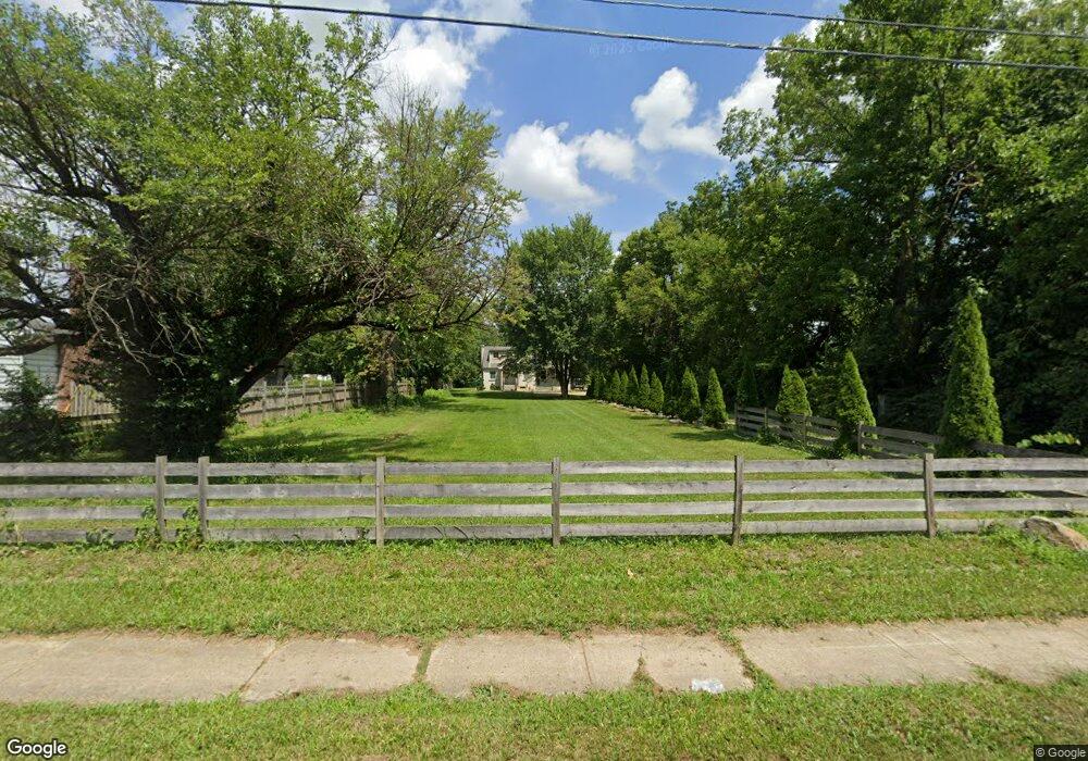
2142 Frank Rd Columbus, OH 43223
Estimated Value: $209,500 - $231,000
3
Beds
2
Baths
1,882
Sq Ft
$117/Sq Ft
Est. Value
About This Home
This home is located at 2142 Frank Rd, Columbus, OH 43223 and is currently estimated at $219,375, approximately $116 per square foot. 2142 Frank Rd is a home located in Franklin County with nearby schools including Finland Elementary School, Franklin Woods Intermediate School, and Finland Middle School.
Ownership History
Date
Name
Owned For
Owner Type
Purchase Details
Closed on
Jan 28, 2011
Sold by
Sandine Gordon S
Bought by
Graham Eustace
Current Estimated Value
Home Financials for this Owner
Home Financials are based on the most recent Mortgage that was taken out on this home.
Original Mortgage
$56,000
Outstanding Balance
$2,165
Interest Rate
4.84%
Mortgage Type
New Conventional
Estimated Equity
$217,210
Purchase Details
Closed on
May 14, 1999
Sold by
Sandine Eric
Bought by
Sandine Gordon S
Home Financials for this Owner
Home Financials are based on the most recent Mortgage that was taken out on this home.
Original Mortgage
$68,464
Interest Rate
7.04%
Mortgage Type
FHA
Purchase Details
Closed on
May 1, 1987
Create a Home Valuation Report for This Property
The Home Valuation Report is an in-depth analysis detailing your home's value as well as a comparison with similar homes in the area
Home Values in the Area
Average Home Value in this Area
Purchase History
| Date | Buyer | Sale Price | Title Company |
|---|---|---|---|
| Graham Eustace | $70,000 | Amerititle | |
| Sandine Gordon S | $68,500 | Chicago Title | |
| -- | $44,500 | -- |
Source: Public Records
Mortgage History
| Date | Status | Borrower | Loan Amount |
|---|---|---|---|
| Open | Graham Eustace | $56,000 | |
| Previous Owner | Sandine Gordon S | $68,464 |
Source: Public Records
Tax History Compared to Growth
Tax History
| Year | Tax Paid | Tax Assessment Tax Assessment Total Assessment is a certain percentage of the fair market value that is determined by local assessors to be the total taxable value of land and additions on the property. | Land | Improvement |
|---|---|---|---|---|
| 2024 | $2,610 | $51,170 | $7,700 | $43,470 |
| 2023 | $2,596 | $51,170 | $7,700 | $43,470 |
| 2022 | $1,617 | $21,910 | $6,300 | $15,610 |
| 2021 | $1,536 | $21,910 | $6,300 | $15,610 |
| 2020 | $1,533 | $21,910 | $6,300 | $15,610 |
| 2019 | $1,330 | $17,050 | $5,250 | $11,800 |
| 2018 | $1,249 | $17,050 | $5,250 | $11,800 |
| 2017 | $1,318 | $17,050 | $5,250 | $11,800 |
| 2016 | $1,264 | $15,340 | $2,560 | $12,780 |
| 2015 | $1,174 | $15,340 | $2,560 | $12,780 |
| 2014 | $1,175 | $15,340 | $2,560 | $12,780 |
| 2013 | $678 | $18,025 | $3,010 | $15,015 |
Source: Public Records
Map
Nearby Homes
- 0 S Central Ave
- 1543 Red Leaf Ln
- 1949 Big Run Bluffs Blvd
- 1948 Big Run Bluffs Blvd
- 2210 October Ridge Dr
- 4745 Big Run Rd E
- 1417 Fahy Dr
- 2436 Onyx Ct
- 2336 Woodbrook Cir N Unit 92 B
- 2195 Big Run Ave
- 2362 Woodbrook Cir N Unit 81
- 0 Glencreek Rd
- 2103 Keller Place W
- 2894 Creith Ct
- 2547 Rosedale Ave
- 1390 Gray Meadow Dr
- 2255 Harrisburg Pike
- 2382 Hardesty Dr S Unit Q-5
- 1085 Hardesty Place E Unit 4
- 2436 Hardesty Dr S Unit 4
- 2134 Frank Rd
- 2154 Frank Rd
- 2122 Frank Rd
- 2139 Frank Rd
- 2153 Frank Rd
- 1758 Harrisburg Pike
- 2123 Frank Rd
- 1750 Harrisburg Pike
- 1740 Harrisburg Pike
- 2113 Frank Rd
- 1712 Harrisburg Pike
- 2173 Frank Rd
- 2107 Frank Rd
- 1820 Harrisburg Pike
- 2099 Frank Rd
- 2087 Frank Rd
- 1356 Harrisburg Pike
- 1390 Harrisburg Pike
- 1047 Harrisburg Pike
- 1761 Harrisburg Pike