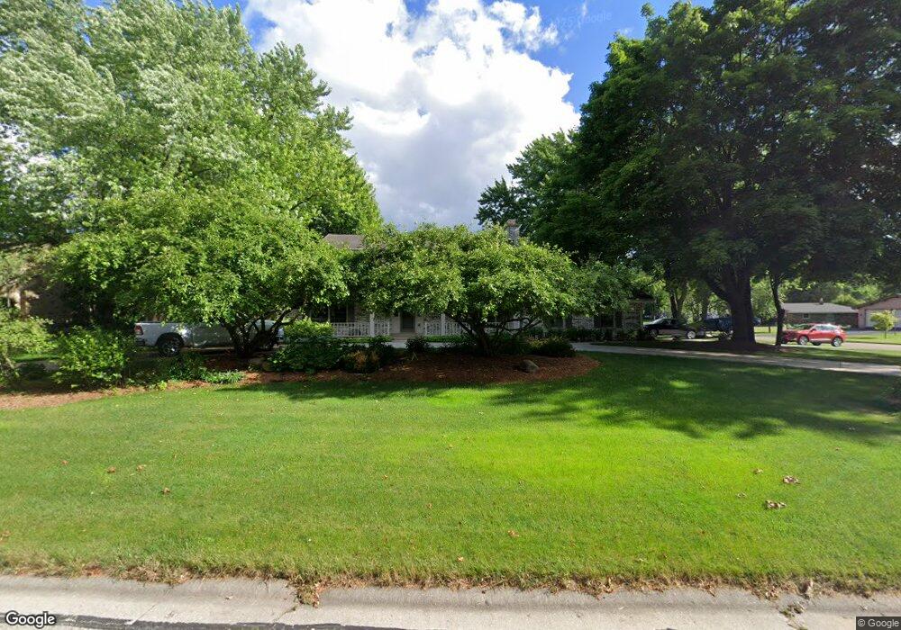
21425 Talbots Ln Brookfield, WI 53045
Estimated Value: $570,126 - $604,000
4
Beds
3
Baths
2,180
Sq Ft
$272/Sq Ft
Est. Value
About This Home
This home is located at 21425 Talbots Ln, Brookfield, WI 53045 and is currently estimated at $592,032, approximately $271 per square foot. 21425 Talbots Ln is a home located in Waukesha County with nearby schools including Brookfield Elementary School, Wisconsin Hills Middle School, and Brookfield Central High School.
Ownership History
Date
Name
Owned For
Owner Type
Purchase Details
Closed on
Sep 30, 2002
Sold by
Metz Michael J and Metz Anne M
Bought by
Steinert Martin D and Steinert Amy L
Current Estimated Value
Home Financials for this Owner
Home Financials are based on the most recent Mortgage that was taken out on this home.
Original Mortgage
$239,200
Outstanding Balance
$100,869
Interest Rate
6.24%
Mortgage Type
Purchase Money Mortgage
Estimated Equity
$491,163
Purchase Details
Closed on
May 14, 1996
Sold by
Geschke Timothy S and Geschke Timothy Scott
Bought by
Metz Michael J and Conway Anne M
Home Financials for this Owner
Home Financials are based on the most recent Mortgage that was taken out on this home.
Original Mortgage
$164,000
Interest Rate
7.99%
Mortgage Type
Purchase Money Mortgage
Create a Home Valuation Report for This Property
The Home Valuation Report is an in-depth analysis detailing your home's value as well as a comparison with similar homes in the area
Home Values in the Area
Average Home Value in this Area
Purchase History
We collect this data history from publicly available records. To have your information removed, we recommend requesting removal directly through your county’s website.
| Date | Buyer | Sale Price | Title Company |
|---|---|---|---|
| Steinert Martin D | $300,000 | -- | |
| Metz Michael J | $205,000 | -- |
Source: Public Records
Mortgage History
We collect this data history from publicly available records. To have your information removed, we recommend requesting removal directly through your county’s website.
| Date | Status | Borrower | Loan Amount |
|---|---|---|---|
| Open | Steinert Martin D | $239,200 | |
| Previous Owner | Metz Michael J | $164,000 | |
| Closed | Steinert Martin D | $45,700 |
Source: Public Records
Tax History
| Year | Tax Paid | Tax Assessment Tax Assessment Total Assessment is a certain percentage of the fair market value that is determined by local assessors to be the total taxable value of land and additions on the property. | Land | Improvement |
|---|---|---|---|---|
| 2024 | $5,186 | $465,600 | $135,000 | $330,600 |
| 2023 | $5,186 | $465,600 | $135,000 | $330,600 |
| 2022 | $5,514 | $386,300 | $130,000 | $256,300 |
| 2021 | $5,839 | $386,300 | $130,000 | $256,300 |
| 2020 | $6,092 | $386,300 | $130,000 | $256,300 |
| 2019 | $5,852 | $386,300 | $130,000 | $256,300 |
| 2018 | $5,666 | $363,800 | $140,000 | $223,800 |
| 2017 | $5,667 | $363,800 | $140,000 | $223,800 |
| 2016 | $5,468 | $346,600 | $140,000 | $206,600 |
| 2015 | $5,438 | $346,600 | $140,000 | $206,600 |
| 2014 | $5,641 | $346,600 | $140,000 | $206,600 |
| 2013 | $5,641 | $346,600 | $140,000 | $206,600 |
Source: Public Records
Map
Nearby Homes
- 2550 Harmony Cir
- 21065 Bradford Ln
- 21300 Astolat Dr
- 2490 de Carlin Dr
- 2820 Norman Dr
- 2840 Norman Dr
- 21965 W North Ave
- W221N3075 Greenwood Rd
- W224N2618 Ridgewood Ln
- Lt118 Berwick Ct
- Lt120 Berwick Ct
- Lt116 Berwick Ct
- Lt114 Berwick Ct
- 2850 Berwick Ct
- N32W22121 Hill n Dale Cir
- 20000 Glenoaks Dr
- W227N2540 Meadowood Ln
- W226N3045 Duplainville Rd
- 2320 Buckingham Place
- 21195 Mary Lynn Dr
- 2560 Almesbury Ave
- 21375 Talbots Ln
- 2565 Almesbury Ave
- 2620 Almesbury Ave
- 21380 Talbots Ln
- 21380 Almesbury Ct
- 2540 Almesbury Ave
- 2545 Almesbury Ave
- 2605 Almesbury Ave
- 21340 Talbots Ln
- 21350 Almesbury Ct
- 2640 Almesbury Ave
- 21305 Talbots Ln
- 21310 Talbots Ln
- 2625 Almesbury Ave
- 2525 Almesbury Ave
- 2660 Almesbury Ave
- 2600 Harmony Cir
- 21415 Almesbury Ct
- 21385 Almesbury Ct
Your Personal Tour Guide
Ask me questions while you tour the home.