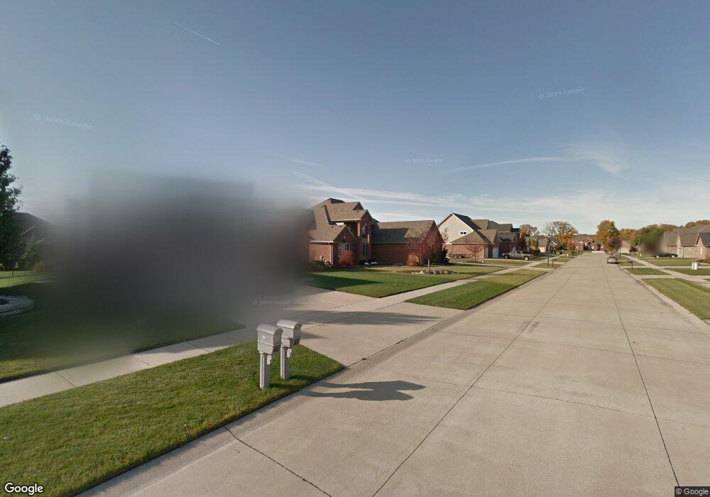
21434 Brooklyn Bridge Dr Macomb, MI 48044
Estimated Value: $535,753 - $637,000
--
Bed
1
Bath
2,937
Sq Ft
$198/Sq Ft
Est. Value
About This Home
This home is located at 21434 Brooklyn Bridge Dr, Macomb, MI 48044 and is currently estimated at $580,938, approximately $197 per square foot. 21434 Brooklyn Bridge Dr is a home located in Macomb County with nearby schools including Shawnee Elementary School, Seneca Middle School, and Dakota High School.
Ownership History
Date
Name
Owned For
Owner Type
Purchase Details
Closed on
Jul 15, 2005
Sold by
Manzella Building Co Llc
Bought by
Lindsay William J and Lindsay Leslie A
Current Estimated Value
Home Financials for this Owner
Home Financials are based on the most recent Mortgage that was taken out on this home.
Original Mortgage
$50,000
Interest Rate
5.74%
Mortgage Type
Credit Line Revolving
Purchase Details
Closed on
May 5, 2004
Sold by
Trilson Development Co Llc
Bought by
Manzella Building Co Llc
Create a Home Valuation Report for This Property
The Home Valuation Report is an in-depth analysis detailing your home's value as well as a comparison with similar homes in the area
Home Values in the Area
Average Home Value in this Area
Purchase History
| Date | Buyer | Sale Price | Title Company |
|---|---|---|---|
| Lindsay William J | $333,398 | Greco | |
| Manzella Building Co Llc | $89,000 | Greco |
Source: Public Records
Mortgage History
| Date | Status | Borrower | Loan Amount |
|---|---|---|---|
| Closed | Lindsay William J | $50,000 | |
| Open | Lindsay William J | $250,000 |
Source: Public Records
Tax History Compared to Growth
Tax History
| Year | Tax Paid | Tax Assessment Tax Assessment Total Assessment is a certain percentage of the fair market value that is determined by local assessors to be the total taxable value of land and additions on the property. | Land | Improvement |
|---|---|---|---|---|
| 2025 | $5,816 | $264,900 | $0 | $0 |
| 2024 | $4,404 | $256,200 | $0 | $0 |
| 2023 | $4,178 | $230,200 | $0 | $0 |
| 2022 | $5,272 | $204,400 | $0 | $0 |
| 2021 | $5,120 | $190,600 | $0 | $0 |
| 2020 | $3,833 | $186,600 | $0 | $0 |
| 2019 | $4,741 | $177,700 | $0 | $0 |
| 2018 | $4,621 | $168,400 | $0 | $0 |
| 2017 | $4,550 | $161,380 | $34,500 | $126,880 |
| 2016 | $4,319 | $161,380 | $0 | $0 |
| 2015 | $4,262 | $152,020 | $0 | $0 |
| 2014 | $4,262 | $137,430 | $23,500 | $113,930 |
| 2011 | $844 | $137,450 | $20,500 | $116,950 |
Source: Public Records
Map
Nearby Homes
- 49366 Briar Pointe Dr
- 49344 Shenandoah Dr
- 21272 Clearview Dr
- 21742 Ambassador Dr
- 21377 Waverly Dr
- 21559 Waverly Dr
- 21372 Florence Dr
- 50262 Barrett Dr
- 48746 Bradford Dr
- 21254 Clayton Dr
- 22064 Chaucer Ct
- 21943 Anita Way E
- 50011 Anita Way N
- 21959 Majestic Dr E
- 50388 Nantwich Dr
- 50219 Cheltenham Dr
- 50247 Cheltenham Dr
- 20918 Corey Dr
- 21839 Goldenwillow Dr
- 48821 Tremont Dr
- 21452 Brooklyn Bridge Dr
- 21410 Brooklyn Bridge Dr
- 21409 Raintree Dr
- 21427 Raintree Dr
- 21470 Brooklyn Bridge Dr
- 21445 Raintree Dr
- 21391 Raintree Dr
- 21386 Brooklyn Bridge Dr
- 21431 Brooklyn Bridge Dr
- 21449 Brooklyn Bridge Dr
- 21463 Raintree Dr
- 21413 Brooklyn Bridge Dr
- 21373 Raintree Dr
- 21488 Brooklyn Bridge Dr
- 21395 Brooklyn Bridge Dr
- 21368 Brooklyn Bridge Dr
- 21481 Raintree Dr
- 21479 Brooklyn Bridge Dr
- 21377 Brooklyn Bridge Dr
- 21350 Brooklyn Bridge Dr