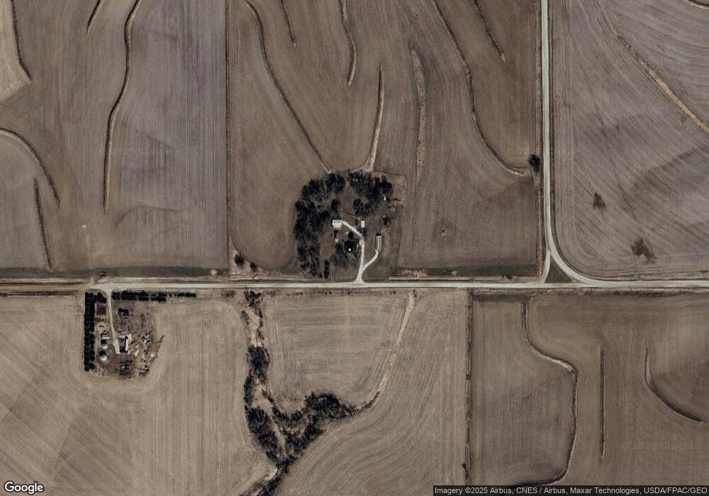
2144 700th St Harlan, IA 51537
Estimated Value: $111,000 - $254,376
4
Beds
2
Baths
1,712
Sq Ft
$118/Sq Ft
Est. Value
About This Home
This home is located at 2144 700th St, Harlan, IA 51537 and is currently estimated at $201,844, approximately $117 per square foot. 2144 700th St is a home located in Shelby County with nearby schools including Exira-Elk Horn-Kimballton Elementary School.
Ownership History
Date
Name
Owned For
Owner Type
Purchase Details
Closed on
Jul 23, 2016
Sold by
Boysen Dwight and Boysen Teresa
Bought by
Bdgl Farms Llc
Current Estimated Value
Purchase Details
Closed on
Jul 22, 2016
Sold by
Boysen Byron and Boysen Diana
Bought by
Bdgl Farms Inc
Purchase Details
Closed on
Jul 21, 2016
Sold by
Heyderhoff Glenda and Heyderhoff Robert
Bought by
Bdgl Farms Llc
Purchase Details
Closed on
Mar 31, 2016
Sold by
Boysen Velma R and Boysen Byron G
Bought by
Boysen Lonnie R
Create a Home Valuation Report for This Property
The Home Valuation Report is an in-depth analysis detailing your home's value as well as a comparison with similar homes in the area
Home Values in the Area
Average Home Value in this Area
Purchase History
| Date | Buyer | Sale Price | Title Company |
|---|---|---|---|
| Bdgl Farms Llc | -- | None Available | |
| Bdgl Farms Inc | -- | None Available | |
| Bdgl Farms Llc | -- | None Available | |
| Bdgl Farms Llc | -- | None Available | |
| Boysen Lonnie R | $57,000 | Attorney |
Source: Public Records
Tax History Compared to Growth
Tax History
| Year | Tax Paid | Tax Assessment Tax Assessment Total Assessment is a certain percentage of the fair market value that is determined by local assessors to be the total taxable value of land and additions on the property. | Land | Improvement |
|---|---|---|---|---|
| 2025 | $1,856 | $188,764 | $52,128 | $136,636 |
| 2024 | $1,856 | $169,575 | $52,128 | $117,447 |
| 2023 | $1,640 | $169,575 | $52,128 | $117,447 |
| 2022 | $1,640 | $130,692 | $52,128 | $78,564 |
| 2021 | $1,584 | $130,692 | $52,128 | $78,564 |
| 2020 | $1,554 | $126,515 | $52,128 | $74,387 |
| 2019 | $1,590 | $122,972 | $0 | $0 |
| 2018 | $1,552 | $122,972 | $0 | $0 |
| 2017 | $1,552 | $122,972 | $0 | $0 |
| 2016 | $1,406 | $116,097 | $0 | $0 |
| 2015 | $1,406 | $110,818 | $0 | $0 |
| 2014 | $1,378 | $110,818 | $0 | $0 |
Source: Public Records
Map
Nearby Homes
- 2566 Yellowwood Rd
- 2705 Bluebird Ave
- 205 W 3rd St
- 2130 Park St
- 2118 Washington St
- 4426 Main St
- 4310 Main St
- 2023 Broadway
- 2018 Washington St
- 2014 Washington St
- 2002 Washington St
- 4206 Madison St
- 0 St
- 0 Woodland Ave at 100th St
- 0 Co Rd M56
- 3162 Eagle Ave
- 0 Boston Unit NOC6330797
- 0 Boston Unit NOC6330796
- 1521 Road M56
- 1105 North St