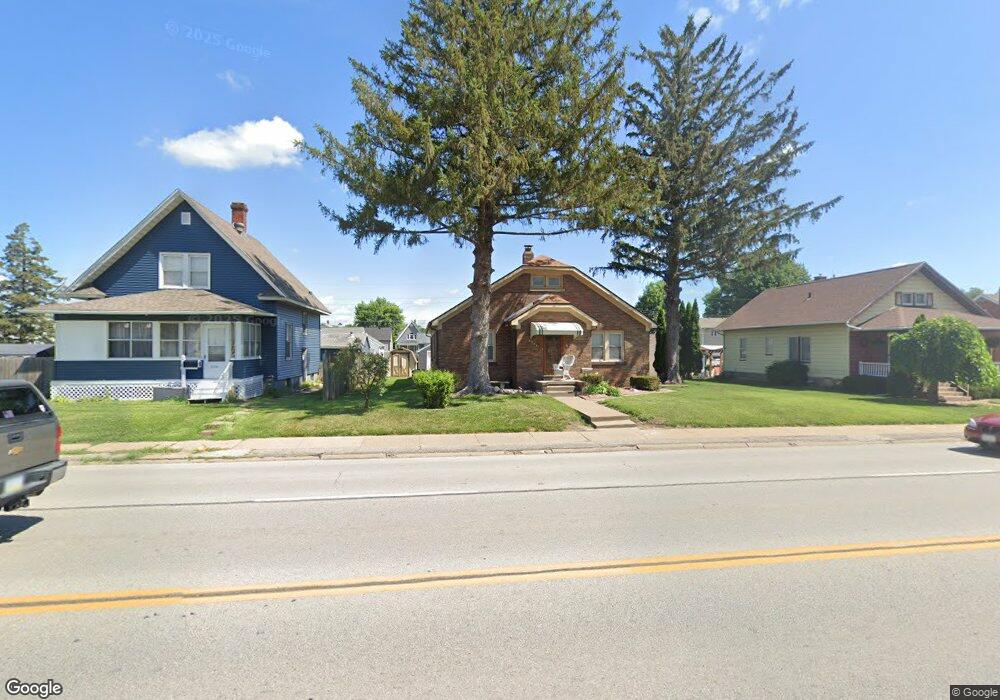
2144 W Locust St Davenport, IA 52804
Northwest Davenport NeighborhoodEstimated Value: $175,000 - $216,000
2
Beds
1
Bath
1,815
Sq Ft
$109/Sq Ft
Est. Value
About This Home
This home is located at 2144 W Locust St, Davenport, IA 52804 and is currently estimated at $197,770, approximately $108 per square foot. 2144 W Locust St is a home located in Scott County with nearby schools including Wilson Elementary School, Williams Intermediate School, and West High School.
Ownership History
Date
Name
Owned For
Owner Type
Purchase Details
Closed on
Feb 18, 2022
Sold by
Engel William F and Joyce Ann
Bought by
White Thomas
Current Estimated Value
Purchase Details
Closed on
May 10, 2013
Sold by
Gipson Charles A and Gipson Janice A
Bought by
White Brian T
Home Financials for this Owner
Home Financials are based on the most recent Mortgage that was taken out on this home.
Original Mortgage
$300,000
Interest Rate
3.52%
Mortgage Type
New Conventional
Create a Home Valuation Report for This Property
The Home Valuation Report is an in-depth analysis detailing your home's value as well as a comparison with similar homes in the area
Home Values in the Area
Average Home Value in this Area
Purchase History
| Date | Buyer | Sale Price | Title Company |
|---|---|---|---|
| White Thomas | $50,000 | None Listed On Document | |
| White Brian T | $144,000 | None Available |
Source: Public Records
Mortgage History
| Date | Status | Borrower | Loan Amount |
|---|---|---|---|
| Previous Owner | White Brian T | $300,000 |
Source: Public Records
Tax History Compared to Growth
Tax History
| Year | Tax Paid | Tax Assessment Tax Assessment Total Assessment is a certain percentage of the fair market value that is determined by local assessors to be the total taxable value of land and additions on the property. | Land | Improvement |
|---|---|---|---|---|
| 2024 | $3,006 | $172,310 | $23,460 | $148,850 |
| 2023 | $3,616 | $172,310 | $23,460 | $148,850 |
| 2022 | $3,774 | $169,320 | $20,530 | $148,790 |
| 2021 | $3,478 | $162,070 | $20,530 | $141,540 |
| 2020 | $3,749 | $147,550 | $20,530 | $127,020 |
| 2019 | $3,686 | $137,870 | $20,530 | $117,340 |
| 2018 | $842 | $137,870 | $20,530 | $117,340 |
| 2017 | $767 | $137,870 | $20,530 | $117,340 |
| 2016 | $2,834 | $129,400 | $0 | $0 |
| 2015 | $2,834 | $134,710 | $0 | $0 |
| 2014 | $2,992 | $134,710 | $0 | $0 |
| 2013 | $2,940 | $0 | $0 | $0 |
| 2012 | -- | $118,110 | $22,170 | $95,940 |
Source: Public Records
Map
Nearby Homes
- 2156 W Pleasant St
- 1922 N Pine St
- 2312 W Locust St
- 1734 N Howell St
- 1742 N Howell St
- 2212 W High St
- 2417 W 18th St
- 1723 W Locust St
- 2302 N Howell St
- 1634 W 17th St
- 1721 Madison St
- 1658 W Lombard St
- 1640 W Lombard St
- 1719 N Sturdevant St
- 1919 N Sturdevant St
- 2110 N Sturdevant St
- 1554 W Pleasant St
- 2424 Davie St
- 1214 N Elmwood Ave
- 2221 Madison St
- 2138 W Locust St
- 2150 W Locust St
- 2134 W Locust St
- 1915 Cedar St
- 2147 W Pleasant St
- 2141 W Pleasant St
- 2128 W Locust St
- 2137 W Pleasant St
- 2155 W Pleasant St
- 2131 W Locust St
- 2131 W Pleasant St
- 2121 W Locust St
- 2137 W Locust St
- 2202 W Locust St
- 2124 W Locust St
- 2141 W Locust St
- 2117 W Locust St
- 2127 W Pleasant St
- 1920 Cedar St
- 1920 Cedar St Unit 1922