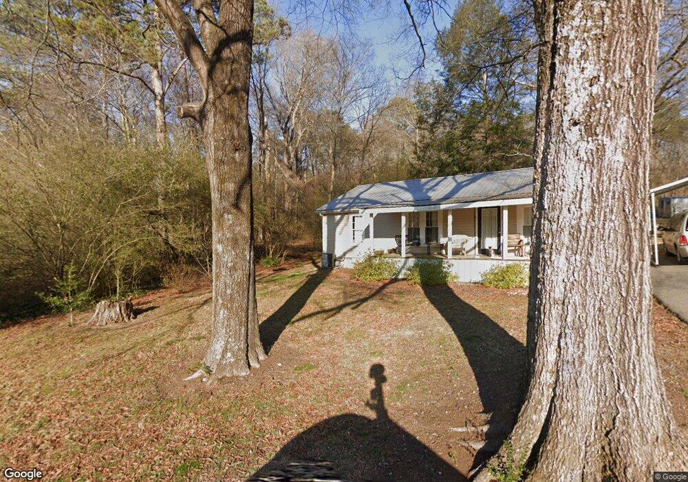
2144 Waring Rd NW Dalton, GA 30721
Estimated Value: $60,811 - $179,000
--
Bed
1
Bath
968
Sq Ft
$136/Sq Ft
Est. Value
About This Home
This home is located at 2144 Waring Rd NW, Dalton, GA 30721 and is currently estimated at $131,203, approximately $135 per square foot. 2144 Waring Rd NW is a home located in Whitfield County with nearby schools including Pleasant Grove Elementary School, New Hope Middle School, and Northwest Whitfield County High School.
Ownership History
Date
Name
Owned For
Owner Type
Purchase Details
Closed on
Jul 10, 2025
Sold by
Arias Jose Francisco
Bought by
Pi Delorenzo Yenny Margarita
Current Estimated Value
Purchase Details
Closed on
Sep 18, 2024
Sold by
Battle Ridge Land Company Lllp
Bought by
Arias Jose Francisco
Purchase Details
Closed on
Feb 17, 2016
Sold by
Kilby Edith
Bought by
Battle Ridge Land Co Lllp
Purchase Details
Closed on
Feb 9, 2000
Sold by
Williams Alfred
Bought by
Kilby Hardy and Kilby Edith
Purchase Details
Closed on
Dec 1, 1999
Bought by
Stinson Louise
Create a Home Valuation Report for This Property
The Home Valuation Report is an in-depth analysis detailing your home's value as well as a comparison with similar homes in the area
Home Values in the Area
Average Home Value in this Area
Purchase History
| Date | Buyer | Sale Price | Title Company |
|---|---|---|---|
| Pi Delorenzo Yenny Margarita | -- | None Listed On Document | |
| Pi Delorenzo Yenny Margarita | -- | None Listed On Document | |
| Arias Jose Francisco | $112,000 | None Listed On Document | |
| Battle Ridge Land Co Lllp | $15,000 | -- | |
| Kilby Hardy | $35,000 | -- | |
| Stinson Louise | -- | -- |
Source: Public Records
Tax History Compared to Growth
Tax History
| Year | Tax Paid | Tax Assessment Tax Assessment Total Assessment is a certain percentage of the fair market value that is determined by local assessors to be the total taxable value of land and additions on the property. | Land | Improvement |
|---|---|---|---|---|
| 2024 | $534 | $29,159 | $735 | $28,424 |
| 2023 | $534 | $16,407 | $583 | $15,824 |
| 2022 | $358 | $12,134 | $512 | $11,622 |
| 2021 | $389 | $13,175 | $512 | $12,663 |
| 2020 | $402 | $13,175 | $512 | $12,663 |
| 2019 | $409 | $13,175 | $512 | $12,663 |
| 2018 | $412 | $13,078 | $415 | $12,663 |
| 2017 | $189 | $13,078 | $415 | $12,663 |
| 2016 | $362 | $11,947 | $415 | $11,532 |
| 2014 | $327 | $12,142 | $610 | $11,532 |
| 2013 | -- | $12,142 | $610 | $11,532 |
Source: Public Records
Map
Nearby Homes
- 545 Andy Ln
- 545 Andy Ln NE
- 2136 Waring Rd NW
- 2148 Waring Rd NW
- 2132 Waring Rd NW
- 2156 Waring Rd NW
- 519 Stinson Dr
- 519 Stinson Dr NW
- 2149 Waring Rd NW
- 2120 Waring Rd NW
- 535 Andy Ln NE
- 527 Stinson Dr NW
- 527 Andy Ln NE
- 2118 Waring Rd NW
- 531 Andy Ln NE
- 2133 Waring Rd
- 524 Andy Ln NE
- 544 Andy Ln NE
- 00 Kerr Rd
- 2167 Waring Rd NW