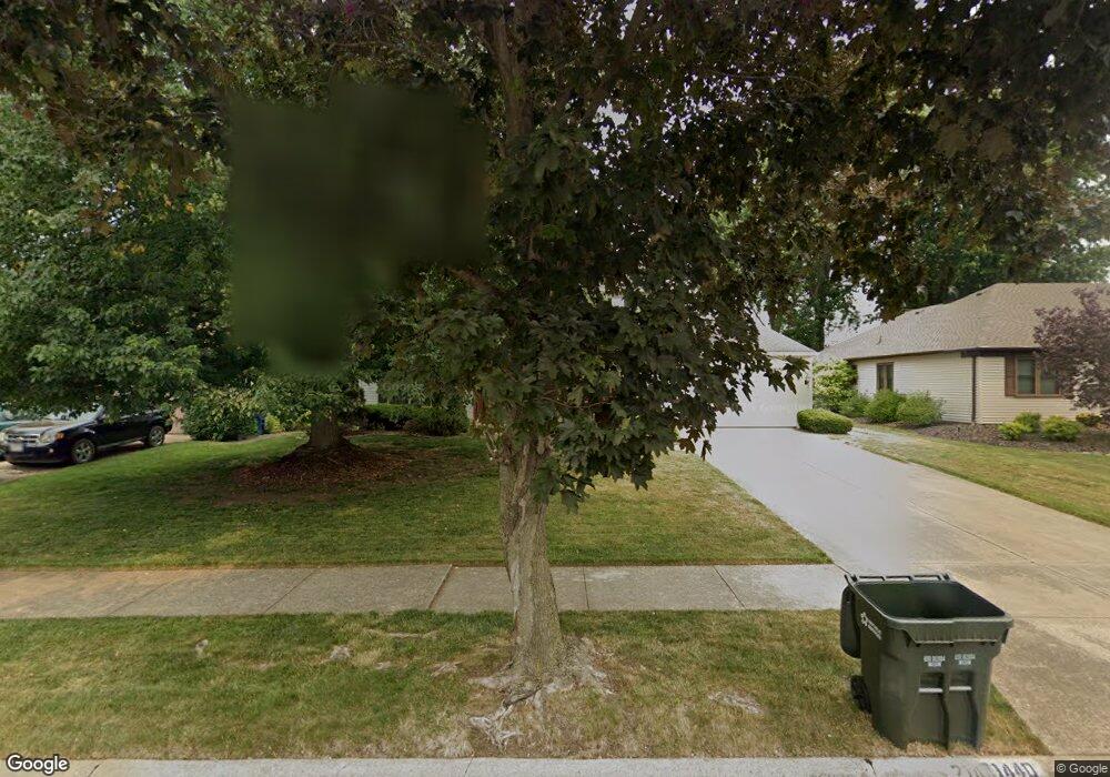
21440 Kings Hwy Cleveland, OH 44126
Estimated Value: $351,000 - $442,000
4
Beds
3
Baths
2,262
Sq Ft
$170/Sq Ft
Est. Value
About This Home
This home is located at 21440 Kings Hwy, Cleveland, OH 44126 and is currently estimated at $385,661, approximately $170 per square foot. 21440 Kings Hwy is a home located in Cuyahoga County with nearby schools including Gilles-Sweet Elementary School, Lewis F Mayer Middle School, and Fairview High School.
Ownership History
Date
Name
Owned For
Owner Type
Purchase Details
Closed on
May 20, 1999
Sold by
Kearnes Ralph L and Kearnes Mary Ellen
Bought by
Stafford Patrick A and Stafford Mary E
Current Estimated Value
Home Financials for this Owner
Home Financials are based on the most recent Mortgage that was taken out on this home.
Original Mortgage
$180,000
Outstanding Balance
$46,316
Interest Rate
6.99%
Estimated Equity
$339,345
Purchase Details
Closed on
Oct 6, 1983
Bought by
Kearnes Ralph L
Purchase Details
Closed on
Jan 1, 1983
Bought by
Fairland Builders Inc
Create a Home Valuation Report for This Property
The Home Valuation Report is an in-depth analysis detailing your home's value as well as a comparison with similar homes in the area
Home Values in the Area
Average Home Value in this Area
Purchase History
| Date | Buyer | Sale Price | Title Company |
|---|---|---|---|
| Stafford Patrick A | $225,000 | Commonwealth Land Title Insu | |
| Kearnes Ralph L | $116,000 | -- | |
| Fairland Builders Inc | -- | -- |
Source: Public Records
Mortgage History
| Date | Status | Borrower | Loan Amount |
|---|---|---|---|
| Open | Stafford Patrick A | $180,000 |
Source: Public Records
Tax History Compared to Growth
Tax History
| Year | Tax Paid | Tax Assessment Tax Assessment Total Assessment is a certain percentage of the fair market value that is determined by local assessors to be the total taxable value of land and additions on the property. | Land | Improvement |
|---|---|---|---|---|
| 2024 | $8,403 | $120,470 | $18,480 | $101,990 |
| 2023 | $8,574 | $105,570 | $14,880 | $90,690 |
| 2022 | $8,374 | $105,560 | $14,880 | $90,690 |
| 2021 | $8,584 | $105,560 | $14,880 | $90,690 |
| 2020 | $9,550 | $103,500 | $14,600 | $88,900 |
| 2019 | $8,500 | $295,700 | $41,700 | $254,000 |
| 2018 | $8,224 | $103,500 | $14,600 | $88,900 |
| 2017 | $8,319 | $93,630 | $13,900 | $79,730 |
| 2016 | $8,263 | $93,630 | $13,900 | $79,730 |
| 2015 | $7,139 | $93,630 | $13,900 | $79,730 |
| 2014 | $7,139 | $81,420 | $12,080 | $69,340 |
Source: Public Records
Map
Nearby Homes
- 20930 Mastick Rd
- 5951 Rockport Ln
- 22534 Bard Ave
- 22247 Mastick Rd
- 22506 Sharon Ln
- 22503 Sandy Ln
- 22045 Morton Ave
- 4627 W 223rd St
- 4464 W 224th St
- 21437 Hillsdale Ave
- 21763 Hillsdale Ave
- 4710 Grayton Rd
- 4720 Grayton Rd
- 22934 Mastick Rd Unit 102
- 4514 Orchard Rd
- 4309 W 222nd St
- 22895 Mastick Rd
- 4401 Fairview Park
- 22968 Maple Ridge Rd Unit 103
- 19631 Thornridge Ave
- 21450 Kings Hwy
- 21430 Kings Hwy
- 21385 Queen Anns Way
- 21460 Kings Hwy
- 21375 Queen Anns Way
- 21395 Queen Anns Way
- 21445 Kings Hwy
- 21365 Queen Anns Way
- 21470 Kings Hwy
- 21455 Kings Hwy
- 21435 Kings Hwy
- 5310 Kings Hwy
- 21355 Queen Anns Way
- 5300 Kings Hwy
- 5320 Kings Hwy
- 5290 Kings Hwy
- 21345 Queen Anns Way
- 21380 Queen Anns Way
- 5330 Kings Hwy
- 21370 Queen Anns Way