21441 Jerald Shea Rd Gentry, AR 72734
Estimated Value: $316,000 - $546,381
3
Beds
1
Bath
2,463
Sq Ft
$169/Sq Ft
Est. Value
About This Home
This home is located at 21441 Jerald Shea Rd, Gentry, AR 72734 and is currently estimated at $416,845, approximately $169 per square foot. 21441 Jerald Shea Rd is a home located in Benton County with nearby schools including Gentry Intermediate School, Gentry Primary School, and Gentry Middle School.
Ownership History
Date
Name
Owned For
Owner Type
Purchase Details
Closed on
Jan 3, 2018
Sold by
Crowder Barbara C
Bought by
Southwestern Electric Power Company and Arkansas Electric Cooperative Corporatio
Current Estimated Value
Purchase Details
Closed on
Aug 27, 2003
Bought by
Crowder Tr 1/2
Purchase Details
Closed on
Dec 11, 1992
Bought by
Crowder
Purchase Details
Closed on
Sep 3, 1992
Bought by
Crowder
Create a Home Valuation Report for This Property
The Home Valuation Report is an in-depth analysis detailing your home's value as well as a comparison with similar homes in the area
Home Values in the Area
Average Home Value in this Area
Purchase History
| Date | Buyer | Sale Price | Title Company |
|---|---|---|---|
| Southwestern Electric Power Company | $145,860 | Ashley Ward For Pro Land Tit | |
| Crowder Tr 1/2 | -- | -- | |
| Crowder | $49,000 | -- | |
| Crowder | $30,000 | -- |
Source: Public Records
Tax History Compared to Growth
Tax History
| Year | Tax Paid | Tax Assessment Tax Assessment Total Assessment is a certain percentage of the fair market value that is determined by local assessors to be the total taxable value of land and additions on the property. | Land | Improvement |
|---|---|---|---|---|
| 2025 | $2,250 | $75,052 | $16,338 | $58,714 |
| 2024 | $2,164 | $75,052 | $16,338 | $58,714 |
| 2023 | $2,130 | $56,654 | $9,639 | $47,015 |
| 2022 | $1,863 | $56,654 | $9,639 | $47,015 |
| 2021 | $1,830 | $59,060 | $9,640 | $49,420 |
| 2020 | $1,804 | $41,030 | $4,720 | $36,310 |
| 2019 | $3,360 | $115,830 | $4,720 | $111,110 |
| 2018 | $3,385 | $115,830 | $4,720 | $111,110 |
| 2017 | $3,436 | $116,780 | $5,670 | $111,110 |
| 2016 | $3,436 | $116,780 | $5,670 | $111,110 |
| 2015 | $3,473 | $69,460 | $3,850 | $65,610 |
| 2014 | $3,124 | $69,460 | $3,850 | $65,610 |
Source: Public Records
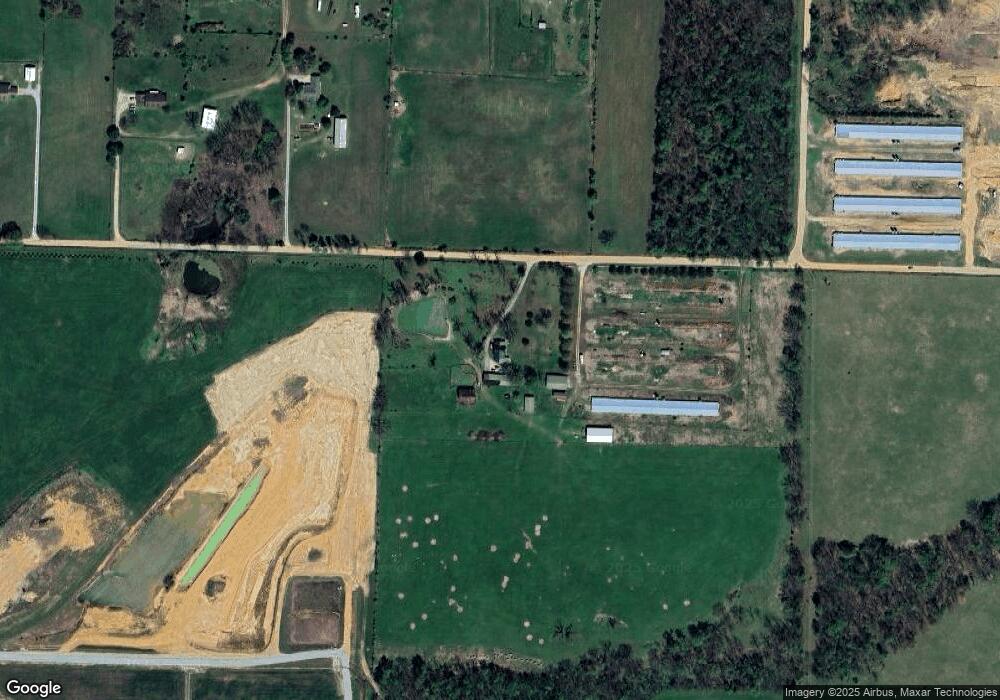
Map
Nearby Homes
- 305 Whitten Ave
- 217 Whitten Ave
- 313 Whitten Ave
- 225 Whitten Ave
- 309 Whitten Ave
- 301 Whitten Ave
- Rc Morgan Plan at Crowder
- RC Kinsley II Plan at Crowder
- RC Baltimore Plan at Crowder
- RC Coleman Plan at Crowder
- RC Carnegie II Plan at Crowder
- RC Glenwood Plan at Crowder
- RC Raleigh Plan at Crowder
- 200 Post Oak Ave
- 300 White Oak St
- 216 White Oak St
- 108 White Oak St
- 104 White Oak St
- 100 White Oak St
- 0 Orchard
- 21441 Jerald Shae
- 21441 Jerald Shea Rd
- 21596 Jerald Shae
- 0 Betty Baker Jerald Unit 1256008
- 21654 Jerald Shea Rd
- 21479 W Highway 12
- 21423 W Highway 12
- 21736 Jerald Shae
- 21625 W Highway 12
- 21587 W Highway 12
- 21504 W Highway 12
- 21228 Swepco Plant Rd
- 21422 W Highway 12
- 1751 Hwy 12
- 345 Wpa Rd
- 1751 W Main St
- 21782 Jerald Shae
- 313 Oak Ave
- 309 Oak Ave
- 305 Oak Ave