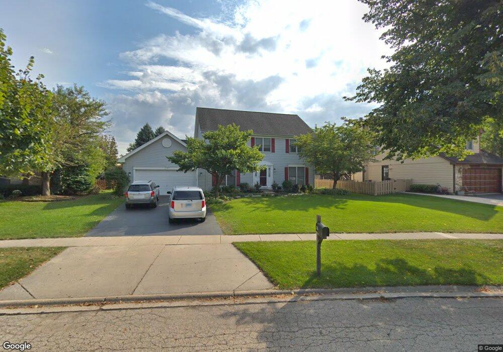
2145 Spaulding Ave West Dundee, IL 60118
Estimated Value: $407,771 - $481,000
4
Beds
--
Bath
2,346
Sq Ft
$190/Sq Ft
Est. Value
About This Home
This home is located at 2145 Spaulding Ave, West Dundee, IL 60118 and is currently estimated at $446,693, approximately $190 per square foot. 2145 Spaulding Ave is a home located in Kane County with nearby schools including Dundee Highlands Elementary School, Dundee Middle School, and Harry D Jacobs High School.
Ownership History
Date
Name
Owned For
Owner Type
Purchase Details
Closed on
Jul 27, 1999
Sold by
Kafer James K and Kafer Joyce H
Bought by
Pfatschbacher John N and Pfatschbacher Elizabeth
Current Estimated Value
Home Financials for this Owner
Home Financials are based on the most recent Mortgage that was taken out on this home.
Original Mortgage
$156,100
Outstanding Balance
$45,279
Interest Rate
7.77%
Estimated Equity
$401,414
Create a Home Valuation Report for This Property
The Home Valuation Report is an in-depth analysis detailing your home's value as well as a comparison with similar homes in the area
Home Values in the Area
Average Home Value in this Area
Purchase History
| Date | Buyer | Sale Price | Title Company |
|---|---|---|---|
| Pfatschbacher John N | $223,000 | Chicago Title Insurance Co |
Source: Public Records
Mortgage History
| Date | Status | Borrower | Loan Amount |
|---|---|---|---|
| Open | Pfatschbacher John N | $156,100 |
Source: Public Records
Tax History
| Year | Tax Paid | Tax Assessment Tax Assessment Total Assessment is a certain percentage of the fair market value that is determined by local assessors to be the total taxable value of land and additions on the property. | Land | Improvement |
|---|---|---|---|---|
| 2024 | $8,580 | $121,256 | $25,730 | $95,526 |
| 2023 | $7,967 | $109,102 | $23,151 | $85,951 |
| 2022 | $8,091 | $102,837 | $23,151 | $79,686 |
| 2021 | $7,780 | $97,098 | $21,859 | $75,239 |
| 2020 | $7,625 | $94,915 | $21,368 | $73,547 |
| 2019 | $7,818 | $90,104 | $20,285 | $69,819 |
| 2018 | $8,125 | $91,191 | $19,883 | $71,308 |
| 2017 | $7,737 | $85,305 | $18,600 | $66,705 |
| 2016 | $7,700 | $80,792 | $23,811 | $56,981 |
| 2015 | -- | $75,705 | $22,312 | $53,393 |
| 2014 | -- | $73,615 | $21,696 | $51,919 |
| 2013 | -- | $75,868 | $22,360 | $53,508 |
Source: Public Records
Map
Nearby Homes
- 817 Lindsay Ln
- 809 Lindsay Ln
- 815 Lindsay Ln
- 850 Tartans Dr
- 1107 Pember Cir Unit 2
- 1811 W Main St
- 1715 W Main St
- 822 Lindsay Ln
- 816 Lindsay Ln
- 818 Lindsay Ln
- 1601 Higgins Rd
- 801 Lindsay Ln
- 804 Lindsay Ln
- 820 Lindsay Ln
- 808 Lindsay Ln
- 821 Lindsay Ln
- 1023 Shagbark Ln
- 1031 Shagbark Ln
- 2660 Chesire Ct
- 176 Tay River Dr
- 2153 Spaulding Ave
- 2139 Spaulding Ave
- 706 Macgregor Ct
- 2112 Glenmoor Dr
- 722 Macgregor Ct
- 2127 Spaulding Ave
- 2157 Spaulding Ave
- 2146 Spaulding Ave
- 2134 Spaulding Ave
- 2118 Glenmoor Dr
- 734 Macgregor Ct
- 2128 Spaulding Ave Unit 2
- 2113 Spaulding Ave
- 2163 Spaulding Ave
- 2152 Spaulding Ave
- 2212 Glenmoor Dr
- 2171 Spaulding Ave
- 2114 Spaulding Ave
- 730 Macgregor Ct
- 2109 Spaulding Ave Unit 2
Your Personal Tour Guide
Ask me questions while you tour the home.