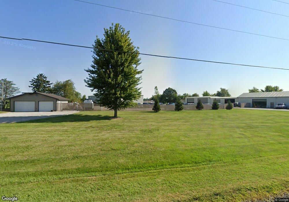
2145 State Route 19 Bucyrus, OH 44820
Estimated Value: $107,723 - $281,000
3
Beds
2
Baths
1,716
Sq Ft
$124/Sq Ft
Est. Value
About This Home
This home is located at 2145 State Route 19, Bucyrus, OH 44820 and is currently estimated at $212,931, approximately $124 per square foot. 2145 State Route 19 is a home located in Crawford County with nearby schools including Hannah Crawford Elementary School (PK-2), Hannah Crawford Elementary School (3 - 5), and William Crawford Intermediate School.
Ownership History
Date
Name
Owned For
Owner Type
Purchase Details
Closed on
Aug 29, 2016
Sold by
Kebr Enterprises Llc
Bought by
Mmb Development Llc
Current Estimated Value
Purchase Details
Closed on
Apr 3, 2014
Sold by
Mease Sharon
Bought by
Kebr Enterprises Llc
Purchase Details
Closed on
Apr 12, 2006
Sold by
Green Tree Servicing Llc
Bought by
Huff Charley
Purchase Details
Closed on
Mar 9, 2006
Sold by
Shawber Ronny J and Green Tree Servicing Llc
Bought by
Seybert Brian A and Seybert Laura
Purchase Details
Closed on
Dec 6, 2004
Bought by
Huff Charley
Purchase Details
Closed on
Sep 6, 2003
Bought by
Green Tree Servicing Llc
Purchase Details
Closed on
Apr 9, 2003
Bought by
Mease Sharon
Purchase Details
Closed on
Jul 8, 2001
Bought by
Browning Jerry and Browning Delois
Create a Home Valuation Report for This Property
The Home Valuation Report is an in-depth analysis detailing your home's value as well as a comparison with similar homes in the area
Home Values in the Area
Average Home Value in this Area
Purchase History
| Date | Buyer | Sale Price | Title Company |
|---|---|---|---|
| Mmb Development Llc | $40,500 | Acs Title Bucyrus | |
| Kebr Enterprises Llc | $25,000 | Acs Title Bucyrus | |
| Huff Charley | -- | -- | |
| Seybert Brian A | $70,208 | -- | |
| Huff Charley | $52,500 | -- | |
| Green Tree Servicing Llc | $70,200 | -- | |
| Mease Sharon | -- | -- | |
| Browning Jerry | -- | -- |
Source: Public Records
Tax History Compared to Growth
Tax History
| Year | Tax Paid | Tax Assessment Tax Assessment Total Assessment is a certain percentage of the fair market value that is determined by local assessors to be the total taxable value of land and additions on the property. | Land | Improvement |
|---|---|---|---|---|
| 2024 | $241 | $6,890 | $2,460 | $4,430 |
| 2023 | $243 | $13,410 | $4,920 | $8,490 |
| 2022 | $568 | $13,410 | $4,920 | $8,490 |
| 2021 | $587 | $13,410 | $4,920 | $8,490 |
| 2020 | $456 | $10,990 | $4,920 | $6,070 |
| 2019 | $474 | $10,990 | $4,920 | $6,070 |
| 2018 | $474 | $10,990 | $4,920 | $6,070 |
| 2017 | $373 | $9,270 | $4,920 | $4,350 |
| 2016 | $375 | $9,270 | $4,920 | $4,350 |
| 2015 | $367 | $9,270 | $4,920 | $4,350 |
| 2014 | $1,073 | $26,660 | $4,920 | $21,740 |
| 2013 | $1,073 | $26,660 | $4,920 | $21,740 |
Source: Public Records
Map
Nearby Homes
- 2208 State Route 19
- 111 Kincora Dr
- 1465 Oakridge Dr
- 1267 N Dundee Trail
- 1320 E Southern Ave
- 948 S Highland Ave
- 318 Charlotte St
- 419 Short St
- 1220 E Warren St
- 924 E Warren St
- 1211 S Sandusky Ave
- 346 Hopley Ave
- 1021 S Sandusky Ave
- 444 Woodlawn Ave
- 583 Rogers St
- 708 S Sandusky Ave
- 550 S Walnut St
- 900 S Spring St
- 412 E Rensselaer St
- 407 E Mansfield St
- 2149 State Route 19
- 2151 Ohio 19
- 2182 State Route 19
- 2060 State Route 100
- 2201 State Route 19
- 2225 State Route 19
- 2247 State Route 19
- 2212 State Route 19
- 2034 State Route 100
- 2235 State Route 19
- 2234 State Route 19
- 2245 State Route 19
- 2251 Ohio 19
- 2251 State Route 19
- 2244 State Route 19
- 2244 State Route 19
- 2261 State Route 19
- 3669 Crestline Rd
- 1993 State Route 100
- 2254 State Route 19