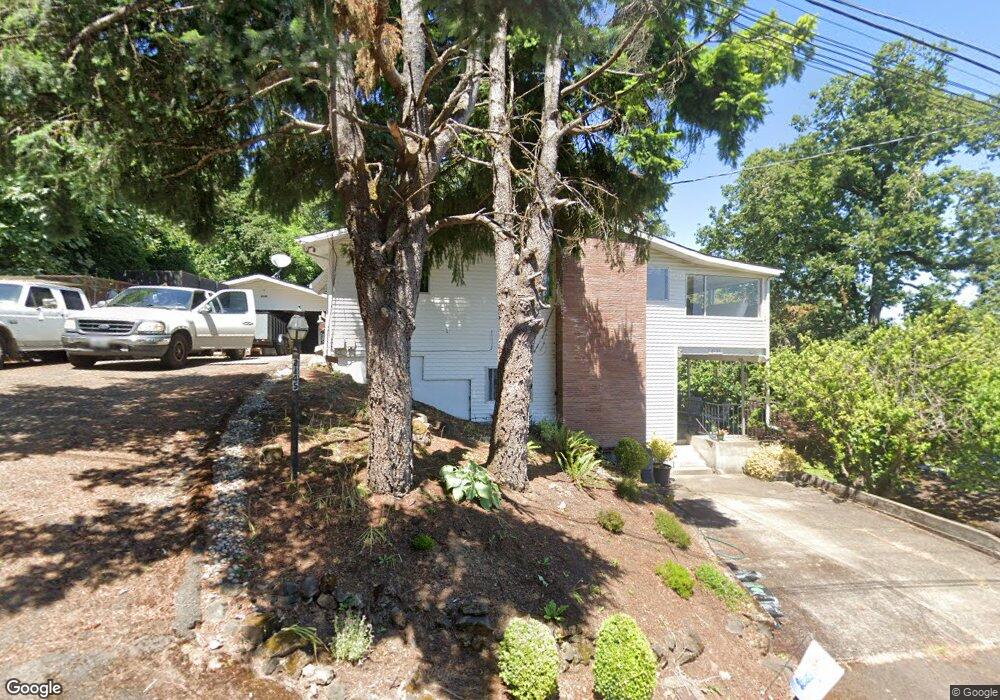
2145 Webb St Unit H West Linn, OR 97068
Bolton NeighborhoodEstimated Value: $742,328 - $862,000
4
Beds
3
Baths
3,057
Sq Ft
$265/Sq Ft
Est. Value
About This Home
This home is located at 2145 Webb St Unit H, West Linn, OR 97068 and is currently estimated at $808,582, approximately $264 per square foot. 2145 Webb St Unit H is a home located in Clackamas County with nearby schools including Bolton Primary School, West Linn High School, and Clackamas Academy of Industrial Sciences (CAIS).
Ownership History
Date
Name
Owned For
Owner Type
Purchase Details
Closed on
Oct 20, 2020
Sold by
Kearney Patrick M and Kearney Heidi S
Bought by
Phmj Investments Llc
Current Estimated Value
Purchase Details
Closed on
Apr 9, 1999
Sold by
Rich Dawn E and Brake Linda L
Bought by
Kearney Patrick M and Kearney Heidi S
Home Financials for this Owner
Home Financials are based on the most recent Mortgage that was taken out on this home.
Original Mortgage
$202,500
Interest Rate
6.98%
Create a Home Valuation Report for This Property
The Home Valuation Report is an in-depth analysis detailing your home's value as well as a comparison with similar homes in the area
Home Values in the Area
Average Home Value in this Area
Purchase History
| Date | Buyer | Sale Price | Title Company |
|---|---|---|---|
| Phmj Investments Llc | -- | None Available | |
| Kearney Patrick M | $225,000 | Chicago Title Insurance Co |
Source: Public Records
Mortgage History
| Date | Status | Borrower | Loan Amount |
|---|---|---|---|
| Previous Owner | Kearney Patrick M | $202,500 |
Source: Public Records
Tax History Compared to Growth
Tax History
| Year | Tax Paid | Tax Assessment Tax Assessment Total Assessment is a certain percentage of the fair market value that is determined by local assessors to be the total taxable value of land and additions on the property. | Land | Improvement |
|---|---|---|---|---|
| 2025 | $7,346 | $381,174 | -- | -- |
| 2024 | $7,071 | $370,072 | -- | -- |
| 2023 | $7,071 | $359,294 | $0 | $0 |
| 2022 | $6,674 | $348,830 | $0 | $0 |
| 2021 | $6,335 | $338,670 | $0 | $0 |
| 2020 | $6,378 | $328,806 | $0 | $0 |
| 2019 | $6,083 | $319,230 | $0 | $0 |
| 2018 | $5,811 | $309,932 | $0 | $0 |
| 2017 | $5,575 | $300,905 | $0 | $0 |
| 2016 | $5,330 | $292,141 | $0 | $0 |
| 2015 | $5,055 | $283,632 | $0 | $0 |
| 2014 | $4,768 | $275,371 | $0 | $0 |
Source: Public Records
Map
Nearby Homes
- 5910 W A St
- 1954 Buck St
- 5128 Firwood Dr
- 5062 Prospect St
- 6345 Caufield St
- 6403 Tompkins Ct
- 22691 Oregon City Loop
- 5219 Summit St
- 4973 Summit St
- 5687 River St
- 22881 Oregon City Loop
- 20930 Fawn Ct Unit 26
- 2764 Ridge Ln
- 4711 Alder St
- 5390 Grove St
- 2530 Cambridge St
- 4645 Pine St
- 4794 Coho Ln
- 4578 Norfolk St
- 1870 Hemlock St