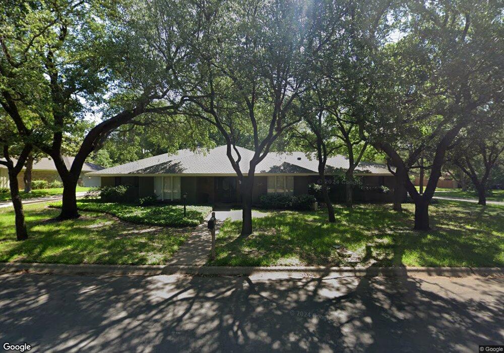
2145 Woodbrook St Denton, TX 76205
South Denton NeighborhoodEstimated Value: $472,000 - $516,000
3
Beds
3
Baths
2,859
Sq Ft
$172/Sq Ft
Est. Value
About This Home
This home is located at 2145 Woodbrook St, Denton, TX 76205 and is currently estimated at $491,909, approximately $172 per square foot. 2145 Woodbrook St is a home located in Denton County with nearby schools including Houston Elementary School, McMath Middle School, and Denton High School.
Ownership History
Date
Name
Owned For
Owner Type
Purchase Details
Closed on
Nov 9, 2018
Sold by
Whitten Darlene A
Bought by
Reid Michael D and Reid Jo Margette
Current Estimated Value
Home Financials for this Owner
Home Financials are based on the most recent Mortgage that was taken out on this home.
Original Mortgage
$264,549
Outstanding Balance
$234,695
Interest Rate
5.25%
Mortgage Type
FHA
Estimated Equity
$257,214
Purchase Details
Closed on
Mar 16, 2010
Sold by
Whitten Michael J
Bought by
Whitten Darlene A
Create a Home Valuation Report for This Property
The Home Valuation Report is an in-depth analysis detailing your home's value as well as a comparison with similar homes in the area
Home Values in the Area
Average Home Value in this Area
Purchase History
| Date | Buyer | Sale Price | Title Company |
|---|---|---|---|
| Reid Michael D | -- | None Available | |
| Whitten Darlene A | -- | None Available |
Source: Public Records
Mortgage History
| Date | Status | Borrower | Loan Amount |
|---|---|---|---|
| Open | Reid Michael D | $264,549 |
Source: Public Records
Tax History Compared to Growth
Tax History
| Year | Tax Paid | Tax Assessment Tax Assessment Total Assessment is a certain percentage of the fair market value that is determined by local assessors to be the total taxable value of land and additions on the property. | Land | Improvement |
|---|---|---|---|---|
| 2025 | $7,416 | $431,421 | $113,581 | $317,840 |
| 2024 | $8,611 | $446,147 | $113,581 | $332,566 |
| 2023 | $6,662 | $411,598 | $113,581 | $326,203 |
| 2022 | $7,943 | $374,180 | $100,219 | $316,202 |
| 2021 | $7,562 | $340,164 | $66,813 | $273,351 |
| 2020 | $7,292 | $319,024 | $66,813 | $252,211 |
| 2019 | $7,707 | $323,003 | $66,813 | $256,190 |
| 2018 | $6,039 | $250,000 | $66,813 | $183,187 |
| 2017 | $5,611 | $227,000 | $66,813 | $160,187 |
| 2016 | $5,484 | $228,651 | $66,813 | $161,838 |
| 2015 | $3,827 | $212,842 | $66,813 | $146,029 |
| 2013 | -- | $200,102 | $75,563 | $124,539 |
Source: Public Records
Map
Nearby Homes
- 2012 Hollyhill Ln
- 2226 Savannah Trail
- 1000 Lynhurst Ln
- 924 Ridgecrest Cir
- 2216 Jefferson Trail
- 829 Skylark Dr
- 2120 Fairfax Rd
- 2218 Southridge Dr
- 821 Sandpiper Dr
- 2100 Fairfax Rd
- 824 Sandpiper Dr
- 916 Smokerise Cir
- 1012 Indian Ridge Dr
- 2253 Hollyhill Ln
- 816 Chapel Dr
- 209 Pennsylvania Dr
- 2272 Hollyhill Ln
- 412 Hollyhill Ln Unit 412
- 408 Hollyhill Ln
- 720 Smokerise Cir
- 2141 Woodbrook St
- 2024 Hollyhill Ln
- 2201 Woodbrook St
- 2144 Woodbrook St
- 1013 Longridge Dr
- 2137 Woodbrook St
- 2100 Hollyhill Ln
- 2020 Hollyhill Ln
- 2140 Woodbrook St
- 1012 Longridge Dr
- 2136 Woodbrook St
- 2133 Woodbrook St
- 2149 Pembrooke Place
- 2205 Woodbrook St
- 2016 Hollyhill Ln
- 2153 Pembrooke Place
- 2145 Pembrooke Place
- 2104 Hollyhill Ln
- 2025 Hollyhill Ln
- 2141 Pembrooke Place