2146 Highway 22 Muscatine, IA 52761
Estimated Value: $282,000 - $447,142
4
Beds
5
Baths
2,731
Sq Ft
$128/Sq Ft
Est. Value
About This Home
This home is located at 2146 Highway 22, Muscatine, IA 52761 and is currently estimated at $348,536, approximately $127 per square foot. 2146 Highway 22 is a home located in Muscatine County with nearby schools including McKinley Elementary School, Susan Clark Junior High School, and Muscatine High School.
Ownership History
Date
Name
Owned For
Owner Type
Purchase Details
Closed on
Jun 14, 2019
Sold by
Ro Mar Inc
Bought by
Eichelberger Myron P and Eichelberger Amy L
Current Estimated Value
Create a Home Valuation Report for This Property
The Home Valuation Report is an in-depth analysis detailing your home's value as well as a comparison with similar homes in the area
Home Values in the Area
Average Home Value in this Area
Purchase History
| Date | Buyer | Sale Price | Title Company |
|---|---|---|---|
| Eichelberger Myron P | $273,000 | None Available |
Source: Public Records
Tax History Compared to Growth
Tax History
| Year | Tax Paid | Tax Assessment Tax Assessment Total Assessment is a certain percentage of the fair market value that is determined by local assessors to be the total taxable value of land and additions on the property. | Land | Improvement |
|---|---|---|---|---|
| 2025 | $4,064 | $343,340 | $8,220 | $335,120 |
| 2024 | $4,064 | $397,310 | $72,080 | $325,230 |
| 2023 | $4,528 | $397,521 | $72,080 | $325,441 |
| 2022 | $3,742 | $315,630 | $68,000 | $247,630 |
| 2021 | $3,742 | $281,540 | $68,000 | $213,540 |
| 2020 | $3,820 | $265,770 | $58,000 | $207,770 |
| 2019 | $3,800 | $249,100 | $0 | $0 |
| 2018 | $3,704 | $248,530 | $0 | $0 |
| 2017 | $3,704 | $248,530 | $0 | $0 |
| 2016 | $3,898 | $248,530 | $0 | $0 |
| 2015 | $3,898 | $242,720 | $0 | $0 |
| 2014 | $3,840 | $242,720 | $0 | $0 |
Source: Public Records
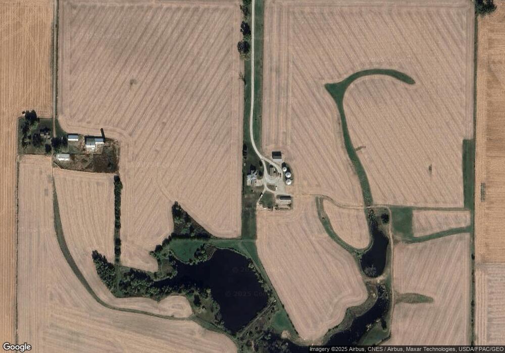
Map
Nearby Homes
- 2207 231st St
- 1824 Keokuk Ave
- LOT 4 Fridley Subdivision
- 2461 Bobwhite Dr
- 3103 Ginkgo Ln
- 3120 Linden Ln
- 1507 Duncan Dr
- 1604 Duncan Dr
- 1416 Duncan Dr
- 1410 Duncan Dr
- LOT 6 Fridley Subdivision
- 3010 W Fulliam Ave
- CEDAR Plaza Parcel
- 2018 W Bay Dr
- 2108 Clarabek St
- 2106 Clarabek St
- 1617 W Acre Dr
- 2210 Imperial Oaks Dr