2146 Kidd Rd Nolensville, TN 37135
Estimated Value: $882,000 - $1,071,559
--
Bed
4
Baths
2,614
Sq Ft
$367/Sq Ft
Est. Value
About This Home
This home is located at 2146 Kidd Rd, Nolensville, TN 37135 and is currently estimated at $960,140, approximately $367 per square foot. 2146 Kidd Rd is a home located in Williamson County with nearby schools including Nolensville Elementary School, Mill Creek Middle School, and Nolensville High School.
Ownership History
Date
Name
Owned For
Owner Type
Purchase Details
Closed on
Mar 16, 1998
Sold by
Weaver Troy A and Weaver Joann T
Bought by
Sullivan Daniel L and Sullivan Belinda J
Current Estimated Value
Home Financials for this Owner
Home Financials are based on the most recent Mortgage that was taken out on this home.
Original Mortgage
$197,000
Interest Rate
6.99%
Create a Home Valuation Report for This Property
The Home Valuation Report is an in-depth analysis detailing your home's value as well as a comparison with similar homes in the area
Home Values in the Area
Average Home Value in this Area
Purchase History
| Date | Buyer | Sale Price | Title Company |
|---|---|---|---|
| Sullivan Daniel L | $257,000 | Guaranty Title & Escrow Co |
Source: Public Records
Mortgage History
| Date | Status | Borrower | Loan Amount |
|---|---|---|---|
| Closed | Sullivan Daniel L | $197,000 |
Source: Public Records
Tax History Compared to Growth
Tax History
| Year | Tax Paid | Tax Assessment Tax Assessment Total Assessment is a certain percentage of the fair market value that is determined by local assessors to be the total taxable value of land and additions on the property. | Land | Improvement |
|---|---|---|---|---|
| 2025 | $2,961 | $234,325 | $120,375 | $113,950 |
| 2024 | $2,961 | $157,525 | $64,475 | $93,050 |
| 2023 | $2,961 | $157,525 | $64,475 | $93,050 |
| 2022 | $2,961 | $157,525 | $64,475 | $93,050 |
| 2021 | $2,961 | $157,525 | $64,475 | $93,050 |
| 2020 | $2,792 | $125,750 | $43,000 | $82,750 |
| 2019 | $2,792 | $125,750 | $43,000 | $82,750 |
| 2018 | $2,704 | $125,750 | $43,000 | $82,750 |
| 2017 | $2,704 | $125,750 | $43,000 | $82,750 |
| 2016 | $2,704 | $125,750 | $43,000 | $82,750 |
| 2015 | -- | $99,150 | $33,075 | $66,075 |
| 2014 | -- | $99,150 | $33,075 | $66,075 |
Source: Public Records
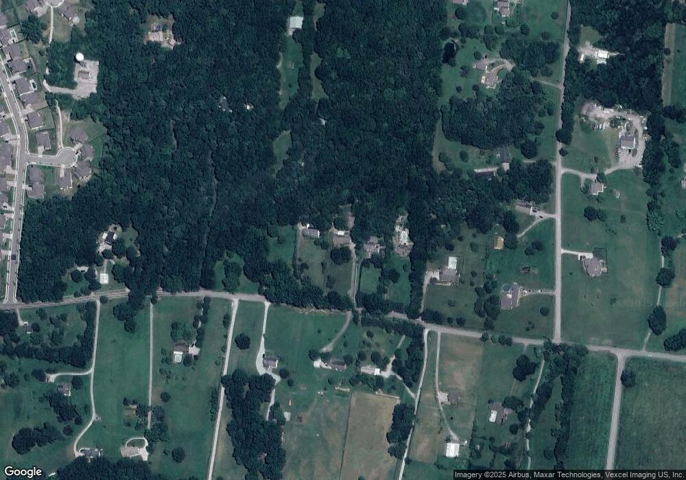
Map
Nearby Homes
- 373 Baronswood Dr
- 4811 Kintore Dr
- Ansley Plan at The Mill at McFarlin - Estates Series
- Kingston Plan at The Mill at McFarlin - Estates Series
- Weston Plan at The Mill at McFarlin - Estates Series
- Buchanan Plan at The Mill at McFarlin - Estates Series
- 4807 Kintore Dr
- 4701 Perth Ln
- 4805 Kintore Dr
- 4088 Liberton Way
- 5012 Wick Ln
- 4806 Kintore Dr
- 4082 Liberton Way
- 4149 Alva Ln
- 2186 Kirkwall Dr
- 1012 Sinatra Dr
- 1047 Sinatra Dr
- 4033 Liberton Way
- 2138 Kirkwall Dr
- 2126 Kirkwall Dr