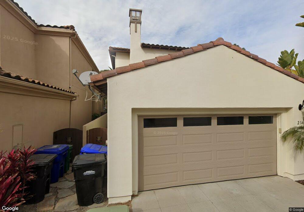
2146 Mcdonough Ln Unit 2 San Diego, CA 92106
Liberty Station NeighborhoodEstimated Value: $1,747,903 - $1,913,000
4
Beds
3
Baths
2,297
Sq Ft
$796/Sq Ft
Est. Value
About This Home
This home is located at 2146 Mcdonough Ln Unit 2, San Diego, CA 92106 and is currently estimated at $1,828,726, approximately $796 per square foot. 2146 Mcdonough Ln Unit 2 is a home located in San Diego County with nearby schools including Loma Portal Elementary School, Richard Henry Dana Middle School, and Correia Middle School.
Ownership History
Date
Name
Owned For
Owner Type
Purchase Details
Closed on
Aug 10, 2007
Sold by
Zaleski Andrew A and Zaleski Kathleen E
Bought by
Zaleski Andrew A
Current Estimated Value
Purchase Details
Closed on
Nov 7, 2003
Sold by
Mcmillin Ntc 80 Llc
Bought by
Zaleski Andrew A and Zaleski Kathleen E
Home Financials for this Owner
Home Financials are based on the most recent Mortgage that was taken out on this home.
Original Mortgage
$639,150
Interest Rate
4.12%
Mortgage Type
Purchase Money Mortgage
Create a Home Valuation Report for This Property
The Home Valuation Report is an in-depth analysis detailing your home's value as well as a comparison with similar homes in the area
Home Values in the Area
Average Home Value in this Area
Purchase History
| Date | Buyer | Sale Price | Title Company |
|---|---|---|---|
| Zaleski Andrew A | -- | None Available | |
| Zaleski Andrew A | $799,000 | First American Title Co |
Source: Public Records
Mortgage History
| Date | Status | Borrower | Loan Amount |
|---|---|---|---|
| Previous Owner | Zaleski Andrew A | $639,150 |
Source: Public Records
Tax History Compared to Growth
Tax History
| Year | Tax Paid | Tax Assessment Tax Assessment Total Assessment is a certain percentage of the fair market value that is determined by local assessors to be the total taxable value of land and additions on the property. | Land | Improvement |
|---|---|---|---|---|
| 2025 | $15,441 | $1,113,691 | $683,000 | $430,691 |
| 2024 | $15,441 | $1,091,855 | $669,608 | $422,247 |
| 2023 | $15,160 | $1,070,447 | $656,479 | $413,968 |
| 2022 | $14,852 | $1,049,458 | $643,607 | $405,851 |
| 2021 | $14,715 | $1,028,882 | $630,988 | $397,894 |
| 2020 | $14,573 | $1,018,333 | $624,518 | $393,815 |
| 2019 | $14,278 | $998,367 | $612,273 | $386,094 |
| 2018 | $13,496 | $978,792 | $600,268 | $378,524 |
| 2017 | $13,230 | $959,601 | $588,499 | $371,102 |
| 2016 | $13,230 | $940,786 | $576,960 | $363,826 |
| 2015 | $12,160 | $850,000 | $517,000 | $333,000 |
| 2014 | $10,958 | $750,000 | $457,000 | $293,000 |
Source: Public Records
Map
Nearby Homes
- 2730 E Evans Rd Unit 9
- 2852 Laning Rd Unit 1
- 2734 Laning Rd Unit 2
- 3028 Sterne St
- 2205 Locust St
- 3126 Russell St
- 2035 Evergreen St
- 3145 Quimby St
- 1840 Locust St
- 2409 Evergreen St
- 3122 Newell St
- 3018-20 Nimitz Blvd
- 3046 Nimitz Blvd
- 3428 Quimby St
- 3412 Poe St
- 1674 Evergreen St
- 3030 Jarvis St Unit 2
- 3111 Keats St Unit 1
- 1561-65 Evergreen St
- 3345 Elliott St
- 2132 Mcdonough Ln Unit 2
- 2124 Mcdonough Ln Unit 2
- 2148 Historic Decatur Rd
- 2116 Mcdonough Ln
- 2178 Historic Decatur Rd Unit 30
- 2164 Historic Decatur Rd Unit 15
- 2178 Historic Decatur Rd Unit 33
- 2178 Historic Decatur Rd
- 2196 Historic Decatur Rd Unit 46
- 2164 Historic Decatur Rd Unit 16
- 2196 Historic Decatur Rd Unit 51
- 2178 Historic Decatur Rd Unit 32
- 2164 Historic Decatur Rd Unit 18
- 2164 Historic Decatur Rd Unit 17
- 2178 Historic Decatur Rd Unit 31
- 2178 Historic Decatur Rd Unit 34
- 2178 Decatur Rd Unit 33
- 2178 Decatur Rd Unit 30
- 2178 Decatur Rd Unit 29
- 2178 Decatur Rd Unit 34