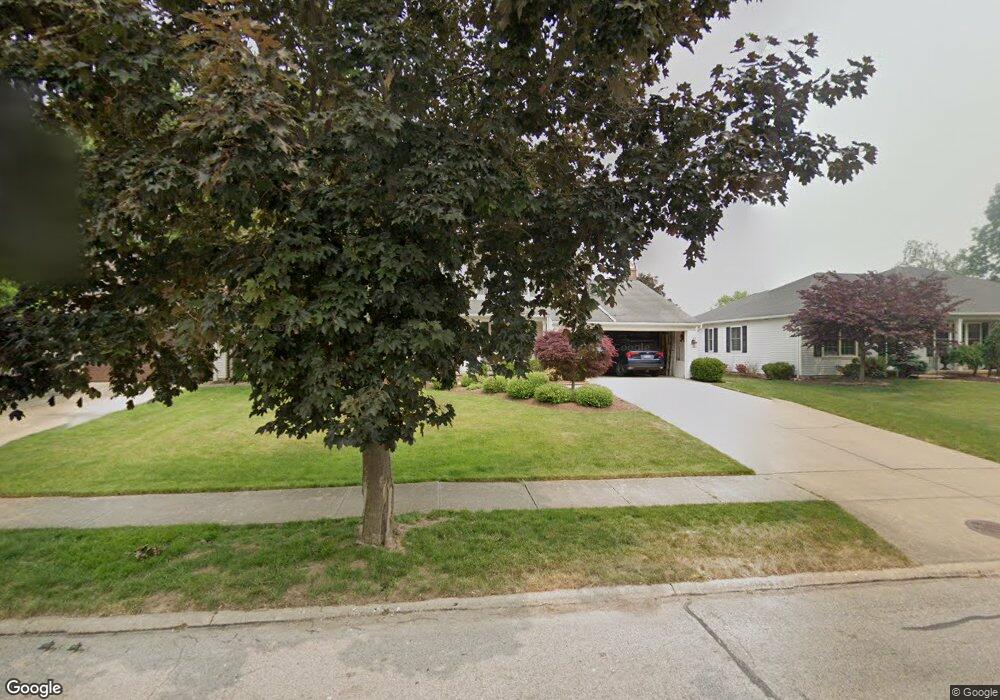
21460 Kings Hwy Cleveland, OH 44126
Estimated Value: $347,000 - $482,000
4
Beds
3
Baths
2,739
Sq Ft
$155/Sq Ft
Est. Value
About This Home
This home is located at 21460 Kings Hwy, Cleveland, OH 44126 and is currently estimated at $425,432, approximately $155 per square foot. 21460 Kings Hwy is a home located in Cuyahoga County with nearby schools including Gilles-Sweet Elementary School, Lewis F Mayer Middle School, and Fairview High School.
Ownership History
Date
Name
Owned For
Owner Type
Purchase Details
Closed on
May 18, 2020
Sold by
Yates Donalde and Yates Joyce A
Bought by
Ward Brendan and Ward Kristen
Current Estimated Value
Home Financials for this Owner
Home Financials are based on the most recent Mortgage that was taken out on this home.
Original Mortgage
$300,000
Outstanding Balance
$265,339
Interest Rate
3.2%
Mortgage Type
New Conventional
Estimated Equity
$160,093
Purchase Details
Closed on
Dec 11, 1986
Sold by
Griffiths George
Bought by
Yates Donald E
Purchase Details
Closed on
Sep 24, 1984
Bought by
Griffiths George
Purchase Details
Closed on
Jan 1, 1983
Bought by
Fairland Builders Inc
Create a Home Valuation Report for This Property
The Home Valuation Report is an in-depth analysis detailing your home's value as well as a comparison with similar homes in the area
Home Values in the Area
Average Home Value in this Area
Purchase History
| Date | Buyer | Sale Price | Title Company |
|---|---|---|---|
| Ward Brendan | $360,000 | Ohio Real Title | |
| Yates Donald E | $143,500 | -- | |
| Griffiths George | $138,000 | -- | |
| Fairland Builders Inc | -- | -- |
Source: Public Records
Mortgage History
| Date | Status | Borrower | Loan Amount |
|---|---|---|---|
| Open | Ward Brendan | $300,000 |
Source: Public Records
Tax History Compared to Growth
Tax History
| Year | Tax Paid | Tax Assessment Tax Assessment Total Assessment is a certain percentage of the fair market value that is determined by local assessors to be the total taxable value of land and additions on the property. | Land | Improvement |
|---|---|---|---|---|
| 2024 | $9,310 | $136,500 | $18,655 | $117,845 |
| 2023 | $9,999 | $126,010 | $15,020 | $110,990 |
| 2022 | $9,744 | $126,000 | $15,020 | $110,990 |
| 2021 | $9,987 | $126,000 | $15,020 | $110,990 |
| 2020 | $8,867 | $98,110 | $14,740 | $83,370 |
| 2019 | $7,872 | $280,300 | $42,100 | $238,200 |
| 2018 | $7,560 | $98,110 | $14,740 | $83,370 |
| 2017 | $7,596 | $87,500 | $14,000 | $73,500 |
| 2016 | $7,545 | $87,500 | $14,000 | $73,500 |
| 2015 | $7,025 | $87,500 | $14,000 | $73,500 |
| 2014 | $7,025 | $82,220 | $12,180 | $70,040 |
Source: Public Records
Map
Nearby Homes
- 20930 Mastick Rd
- 5951 Rockport Ln
- 22247 Mastick Rd
- 22534 Bard Ave
- 22506 Sharon Ln
- 22503 Sandy Ln
- 22045 Morton Ave
- 4710 Grayton Rd
- 21437 Hillsdale Ave
- 4720 Grayton Rd
- 4627 W 223rd St
- 21763 Hillsdale Ave
- 4464 W 224th St
- 22934 Mastick Rd Unit 102
- 4309 W 222nd St
- 4514 Orchard Rd
- 19631 Thornridge Ave
- 4401 Fairview Park
- 22895 Mastick Rd
- 4291 W 215th St
- 21450 Kings Hwy
- 21470 Kings Hwy
- 21365 Queen Anns Way
- 21440 Kings Hwy
- 21355 Queen Anns Way
- 21375 Queen Anns Way
- 21345 Queen Anns Way
- 21385 Queen Anns Way
- 21430 Kings Hwy
- 21335 Queen Anns Way
- 21445 Kings Hwy
- 21465 Kings Hwy
- 21455 Kings Hwy
- 21395 Queen Anns Way
- 21380 Mastick Rd
- 21325 Queen Anns Way
- 21300 Mastick Rd
- 21360 Queen Anns Way
- 21350 Queen Anns Way
- 21370 Queen Anns Way