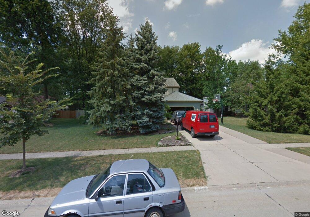
21470 Jonathan Dr Strongsville, OH 44149
Estimated Value: $383,123 - $435,000
4
Beds
3
Baths
2,473
Sq Ft
$166/Sq Ft
Est. Value
About This Home
This home is located at 21470 Jonathan Dr, Strongsville, OH 44149 and is currently estimated at $410,531, approximately $166 per square foot. 21470 Jonathan Dr is a home located in Cuyahoga County with nearby schools including Strongsville High School, St Mary School, and Sts Joseph & John Interparochial School.
Ownership History
Date
Name
Owned For
Owner Type
Purchase Details
Closed on
Aug 1, 2013
Sold by
Kountz Roby A
Bought by
Kountz Kimberly L
Current Estimated Value
Purchase Details
Closed on
Oct 31, 2000
Sold by
Kountz Roby A
Bought by
Kountz Kimberly L and Kimberly Kountz Trust
Purchase Details
Closed on
Jan 27, 1995
Sold by
Hutchins Paul
Bought by
Lountz Roby A and Lountz Kimberly L
Home Financials for this Owner
Home Financials are based on the most recent Mortgage that was taken out on this home.
Original Mortgage
$95,050
Interest Rate
9.28%
Mortgage Type
New Conventional
Purchase Details
Closed on
Sep 9, 1986
Sold by
Stonecrest Homes Inc
Bought by
Hutchins Paul and Hutchins Diane
Purchase Details
Closed on
Nov 13, 1985
Bought by
Stonecrest Homes Inc
Purchase Details
Closed on
Jan 1, 1985
Bought by
Fair Farms Co
Create a Home Valuation Report for This Property
The Home Valuation Report is an in-depth analysis detailing your home's value as well as a comparison with similar homes in the area
Home Values in the Area
Average Home Value in this Area
Purchase History
| Date | Buyer | Sale Price | Title Company |
|---|---|---|---|
| Kountz Kimberly L | -- | Attorney | |
| Kountz Kimberly L | -- | -- | |
| Lountz Roby A | $174,500 | -- | |
| Hutchins Paul | $127,900 | -- | |
| Stonecrest Homes Inc | -- | -- | |
| Fair Farms Co | -- | -- |
Source: Public Records
Mortgage History
| Date | Status | Borrower | Loan Amount |
|---|---|---|---|
| Closed | Lountz Roby A | $95,050 |
Source: Public Records
Tax History Compared to Growth
Tax History
| Year | Tax Paid | Tax Assessment Tax Assessment Total Assessment is a certain percentage of the fair market value that is determined by local assessors to be the total taxable value of land and additions on the property. | Land | Improvement |
|---|---|---|---|---|
| 2024 | $6,374 | $119,210 | $18,760 | $100,450 |
| 2023 | $5,696 | $90,970 | $20,550 | $70,420 |
| 2022 | $5,655 | $90,965 | $20,545 | $70,420 |
| 2021 | $5,610 | $90,970 | $20,550 | $70,420 |
| 2020 | $5,564 | $79,800 | $18,030 | $61,780 |
| 2019 | $5,400 | $228,000 | $51,500 | $176,500 |
| 2018 | $4,848 | $79,800 | $18,030 | $61,780 |
| 2017 | $4,883 | $73,610 | $16,310 | $57,300 |
| 2016 | $4,844 | $73,610 | $16,310 | $57,300 |
| 2015 | $4,769 | $73,610 | $16,310 | $57,300 |
| 2014 | $4,769 | $71,470 | $15,820 | $55,650 |
Source: Public Records
Map
Nearby Homes
- 8627 Courtland Dr
- 8902 Lincolnshire Blvd
- 8036 Fair Rd
- 84 Sprague Rd
- 9829 Plum Brook Ln
- 9598 Pebble Brook Ln
- 10353 Oak Branch Trail
- 22300 Rock Creek Cir
- 0 Priem Rd
- 104 Whitehall Dr
- 740 Fair St
- 8746 Barton Dr
- 9401 Pheasant Run Place
- 21355 Hickory Branch Trail
- 21176 Hickory Branch Trail
- 243 Jananna Dr
- 148 Meadow Cir
- 10839 Prospect Rd
- 9384 N Marks Rd
- 458 Sprague Rd
- 21398 Jonathan Dr
- 21522 Jonathan Dr
- 20913 Montclare Blvd
- 21564 Jonathan Dr
- 21667 Montclare Blvd
- 20935 Montclare Blvd
- 21719 Montclare Blvd
- 21451 Jonathan Dr
- 21292 Jonathan Dr
- 21419 Jonathan Dr
- 21503 Jonathan Dr
- 21625 Montclare Blvd
- 21367 Jonathan Dr
- 21545 Jonathan Dr
- 21636 Jonathan Dr
- 21315 Jonathan Dr
- 21242 Jonathan Dr
- 20987 Montclare Blvd
- 21617 Jonathan Dr
- 21573 Montclare Blvd