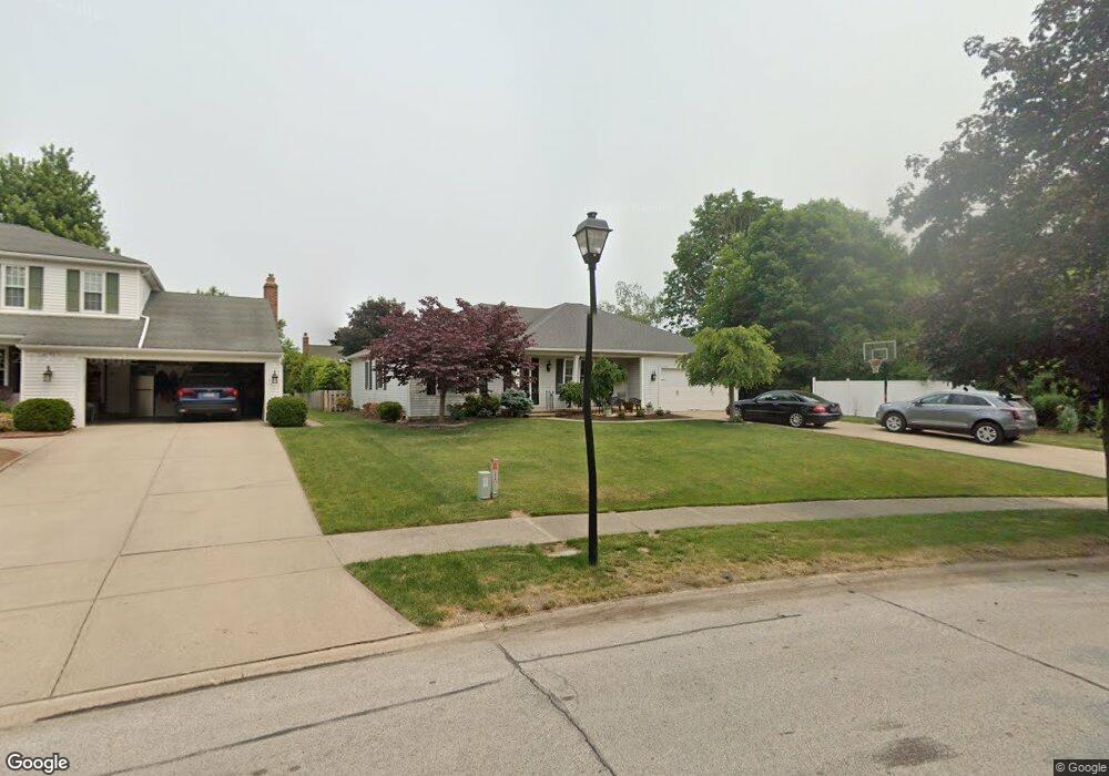
21470 Kings Hwy Cleveland, OH 44126
Estimated Value: $296,000 - $381,000
3
Beds
3
Baths
1,608
Sq Ft
$213/Sq Ft
Est. Value
About This Home
This home is located at 21470 Kings Hwy, Cleveland, OH 44126 and is currently estimated at $342,537, approximately $213 per square foot. 21470 Kings Hwy is a home located in Cuyahoga County with nearby schools including Gilles-Sweet Elementary School, Lewis F Mayer Middle School, and Fairview High School.
Ownership History
Date
Name
Owned For
Owner Type
Purchase Details
Closed on
Nov 13, 2003
Sold by
Aker Alice M
Bought by
Salwan Christopher J and Salwan Kimberly S
Current Estimated Value
Purchase Details
Closed on
Sep 6, 1985
Bought by
Aker Alice M
Purchase Details
Closed on
Oct 10, 1980
Sold by
Mccrone John
Bought by
Fairland Bldrs Inc
Purchase Details
Closed on
Jan 1, 1975
Bought by
Mccrone John
Create a Home Valuation Report for This Property
The Home Valuation Report is an in-depth analysis detailing your home's value as well as a comparison with similar homes in the area
Home Values in the Area
Average Home Value in this Area
Purchase History
| Date | Buyer | Sale Price | Title Company |
|---|---|---|---|
| Salwan Christopher J | $175,000 | Real Estate Title Service Co | |
| Aker Alice M | $114,000 | -- | |
| Fairland Bldrs Inc | -- | -- | |
| Mccrone John | -- | -- |
Source: Public Records
Tax History Compared to Growth
Tax History
| Year | Tax Paid | Tax Assessment Tax Assessment Total Assessment is a certain percentage of the fair market value that is determined by local assessors to be the total taxable value of land and additions on the property. | Land | Improvement |
|---|---|---|---|---|
| 2024 | $7,543 | $110,355 | $20,930 | $89,425 |
| 2023 | $6,248 | $77,990 | $16,840 | $61,150 |
| 2022 | $6,101 | $77,980 | $16,840 | $61,150 |
| 2021 | $6,237 | $77,980 | $16,840 | $61,150 |
| 2020 | $6,939 | $76,480 | $16,520 | $59,960 |
| 2019 | $6,163 | $218,500 | $47,200 | $171,300 |
| 2018 | $6,172 | $76,480 | $16,520 | $59,960 |
| 2017 | $5,740 | $65,770 | $15,750 | $50,020 |
| 2016 | $5,701 | $65,770 | $15,750 | $50,020 |
| 2015 | $16,387 | $65,770 | $15,750 | $50,020 |
| 2014 | $16,387 | $57,200 | $13,690 | $43,510 |
Source: Public Records
Map
Nearby Homes
- 20930 Mastick Rd
- 5951 Rockport Ln
- 22247 Mastick Rd
- 22534 Bard Ave
- 22506 Sharon Ln
- 22503 Sandy Ln
- 22045 Morton Ave
- 4710 Grayton Rd
- 21437 Hillsdale Ave
- 4720 Grayton Rd
- 4627 W 223rd St
- 21763 Hillsdale Ave
- 4464 W 224th St
- 22934 Mastick Rd Unit 102
- 4309 W 222nd St
- 4514 Orchard Rd
- 19631 Thornridge Ave
- 4401 Fairview Park
- 22895 Mastick Rd
- 4291 W 215th St
- 21460 Kings Hwy
- 21345 Queen Anns Way
- 21355 Queen Anns Way
- 21450 Kings Hwy
- 21365 Queen Anns Way
- 21335 Queen Anns Way
- 21375 Queen Anns Way
- 21465 Kings Hwy
- 21440 Kings Hwy
- 21300 Mastick Rd
- 21325 Queen Anns Way
- 21385 Queen Anns Way
- 21380 Mastick Rd
- 21455 Kings Hwy
- 21350 Mastick Rd
- 21430 Kings Hwy
- 21445 Kings Hwy
- 21350 Queen Anns Way
- 21340 Queen Anns Way
- 21360 Queen Anns Way