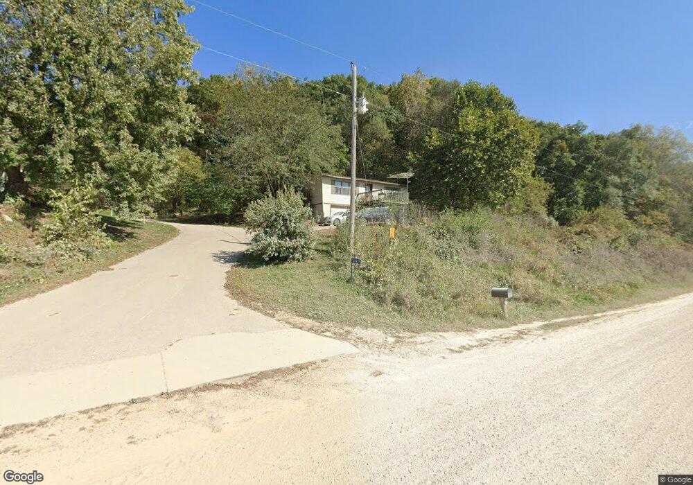
21475 Grape Rd Elkader, IA 52043
Estimated Value: $176,521 - $280,000
3
Beds
2
Baths
1,224
Sq Ft
$171/Sq Ft
Est. Value
About This Home
This home is located at 21475 Grape Rd, Elkader, IA 52043 and is currently estimated at $209,880, approximately $171 per square foot. 21475 Grape Rd is a home located in Clayton County with nearby schools including Central Elementary School and Central Middle School/High School.
Ownership History
Date
Name
Owned For
Owner Type
Purchase Details
Closed on
Feb 8, 2016
Sold by
Eveland John and Eveland Dianne
Bought by
Metzger Lane L
Current Estimated Value
Purchase Details
Closed on
Dec 1, 2014
Sold by
Flugum Michelle
Bought by
Eveland John
Create a Home Valuation Report for This Property
The Home Valuation Report is an in-depth analysis detailing your home's value as well as a comparison with similar homes in the area
Purchase History
| Date | Buyer | Sale Price | Title Company |
|---|---|---|---|
| Metzger Lane L | $95,000 | None Available | |
| Eveland John | $1,586 | None Available |
Source: Public Records
Tax History
| Year | Tax Paid | Tax Assessment Tax Assessment Total Assessment is a certain percentage of the fair market value that is determined by local assessors to be the total taxable value of land and additions on the property. | Land | Improvement |
|---|---|---|---|---|
| 2025 | $1,570 | $161,921 | $41,078 | $120,843 |
| 2024 | $1,522 | $137,177 | $35,720 | $101,457 |
| 2023 | $1,452 | $137,177 | $35,720 | $101,457 |
| 2022 | $1,400 | $112,836 | $30,560 | $82,276 |
| 2021 | $1,304 | $112,836 | $30,560 | $82,276 |
| 2020 | $1,304 | $102,357 | $25,480 | $76,877 |
| 2019 | $1,302 | $102,357 | $25,480 | $76,877 |
| 2018 | $1,302 | $99,556 | $25,480 | $74,076 |
| 2017 | $1,278 | $99,556 | $25,480 | $74,076 |
| 2015 | $1,486 | $115,793 | $24,450 | $91,343 |
| 2014 | $1,476 | $105,045 | $18,270 | $86,775 |
Source: Public Records
Map
Nearby Homes
- 106 Reimer St SW
- 0 E Bridge St
- 200 High St SE
- 117 S Main St
- 302 N 3rd St
- 301 N 1st St
- 27766 Highway 13
- 702 N Main St
- 707 N Main St
- 710 Woodland Dr NW
- 249 Franzen Ridge Rd
- 247 Franzen Ridge Rd
- 27455 Harbor Rd
- 0 Grandview Rd
- 108 Adams Ct
- 306 S Monroe St
- 14149 Iowa 56
- Impala Rd
- 0 Trail Unit 731028
- 36648 Crystal Rd
Your Personal Tour Guide
Ask me questions while you tour the home.