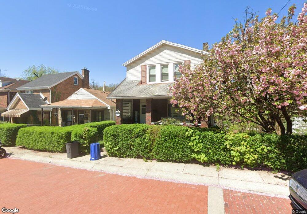
2148 Dartmore St Pittsburgh, PA 15210
Carrick NeighborhoodEstimated Value: $176,000 - $206,000
3
Beds
2
Baths
1,276
Sq Ft
$147/Sq Ft
Est. Value
About This Home
This home is located at 2148 Dartmore St, Pittsburgh, PA 15210 and is currently estimated at $187,554, approximately $146 per square foot. 2148 Dartmore St is a home located in Allegheny County with nearby schools including Pittsburgh Concord K-5, Pittsburgh South Brook, and Pittsburgh Carrick High School.
Ownership History
Date
Name
Owned For
Owner Type
Purchase Details
Closed on
Oct 1, 2019
Sold by
Izaj Widow M Eileen
Bought by
Rolon Darche
Current Estimated Value
Home Financials for this Owner
Home Financials are based on the most recent Mortgage that was taken out on this home.
Original Mortgage
$71,200
Outstanding Balance
$62,375
Interest Rate
3.5%
Mortgage Type
New Conventional
Estimated Equity
$125,179
Purchase Details
Closed on
May 26, 1971
Bought by
Izaj John M and Izaj Eileen
Create a Home Valuation Report for This Property
The Home Valuation Report is an in-depth analysis detailing your home's value as well as a comparison with similar homes in the area
Home Values in the Area
Average Home Value in this Area
Purchase History
| Date | Buyer | Sale Price | Title Company |
|---|---|---|---|
| Rolon Darche | $114,900 | Attorney | |
| Izaj John M | -- | -- |
Source: Public Records
Mortgage History
| Date | Status | Borrower | Loan Amount |
|---|---|---|---|
| Open | Rolon Darche | $71,200 |
Source: Public Records
Tax History Compared to Growth
Tax History
| Year | Tax Paid | Tax Assessment Tax Assessment Total Assessment is a certain percentage of the fair market value that is determined by local assessors to be the total taxable value of land and additions on the property. | Land | Improvement |
|---|---|---|---|---|
| 2025 | $1,041 | $45,200 | $16,100 | $29,100 |
| 2024 | $1,041 | $45,200 | $16,100 | $29,100 |
| 2023 | $1,041 | $45,200 | $16,100 | $29,100 |
| 2022 | $1,028 | $45,200 | $16,100 | $29,100 |
| 2021 | $942 | $45,200 | $16,100 | $29,100 |
| 2020 | $1,430 | $45,200 | $16,100 | $29,100 |
| 2019 | $1,023 | $45,200 | $16,100 | $29,100 |
| 2018 | $728 | $45,200 | $16,100 | $29,100 |
| 2017 | $1,023 | $45,200 | $16,100 | $29,100 |
| 2016 | $214 | $45,200 | $16,100 | $29,100 |
| 2015 | $214 | $45,200 | $16,100 | $29,100 |
| 2014 | $1,000 | $45,200 | $16,100 | $29,100 |
Source: Public Records
Map
Nearby Homes
- 42 Queenston St
- 2082 Walton Ave
- 2032 Jacob St
- 2220 Jacob St
- 1928 Dartmore St
- 331 Redwood St
- 373 Copperfield Ave
- 309 Parkfield St
- 21 Briggs St
- 1572 Brookline Blvd
- 404 Ariston Ave
- 400 Ariston Ave
- 755 Maytide St
- 713 Maytide St
- 304 Parklyn St
- 1725 Hallowell St
- 2020 Brownsville Rd
- 2000 Brownsville Rd
- 0 Ballinger St Unit 1705904
- 419 Maytide St
- 2064 Dartmore St
- 2062 Dartmore St
- 2066 Dartmore St
- 2060 Dartmore St
- 2060 Dartmore St
- 2068 Dartmore St
- 2063 Dartmore St
- 2070 Dartmore St
- 2065 Dartmore St
- 2057 Dartmore St
- 2057 Dartmore St
- 2067 Dartmore St
- 2056 Dartmore St
- 2054 Dartmore St
- 2069 Dartmore St
- 2134 Dartmore St
- 2055 Dartmore St
- 2071 Dartmore St
- 2074 Dartmore St
- 2052 Dartmore St