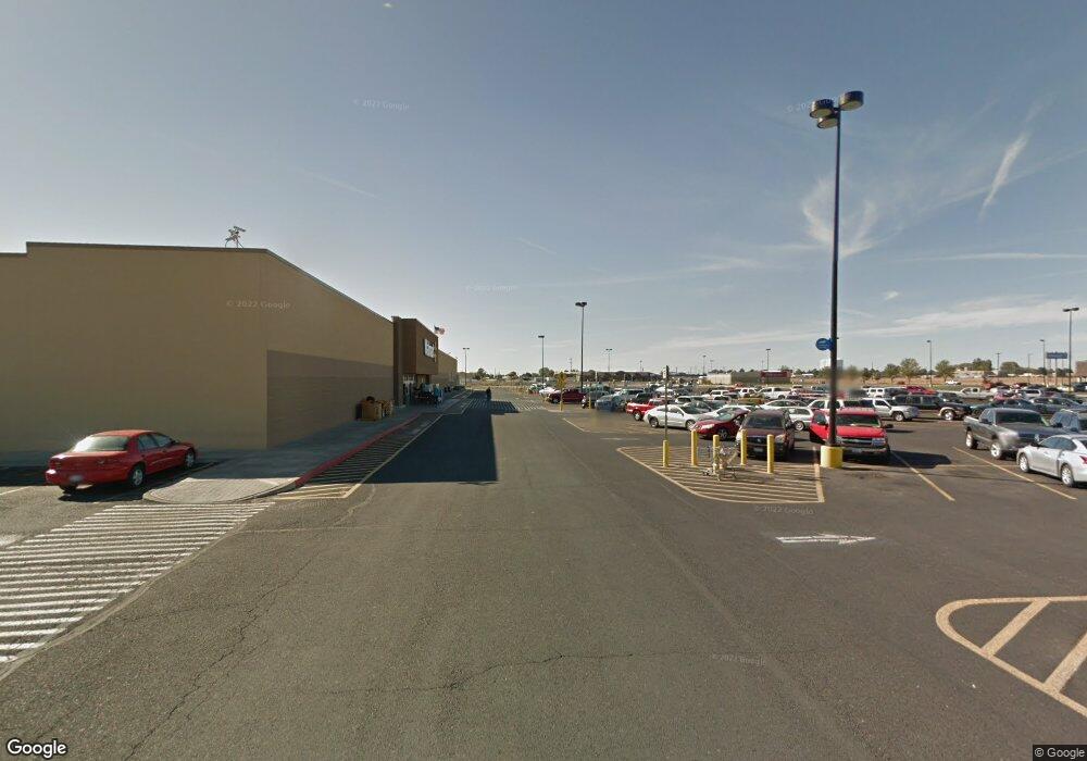
2148 W 26 Hwy Othello, WA 99344
Estimated Value: $1,534,673
--
Bed
--
Bath
18,640
Sq Ft
$82/Sq Ft
Est. Value
About This Home
This home is located at 2148 W 26 Hwy, Othello, WA 99344 and is currently estimated at $1,534,673, approximately $82 per square foot. 2148 W 26 Hwy is a home located in Adams County with nearby schools including Othello High School and Liberty Bell Academy.
Ownership History
Date
Name
Owned For
Owner Type
Purchase Details
Closed on
Aug 8, 2019
Sold by
Blue River Holdings Llc
Bought by
Empire Land & Equipment Llc
Current Estimated Value
Home Financials for this Owner
Home Financials are based on the most recent Mortgage that was taken out on this home.
Original Mortgage
$512,000
Outstanding Balance
$448,417
Interest Rate
3.7%
Mortgage Type
Commercial
Estimated Equity
$1,086,256
Purchase Details
Closed on
Dec 31, 2013
Sold by
Taylor Ivan E and Taylor Corette
Bought by
Blue River Holdings Llc
Create a Home Valuation Report for This Property
The Home Valuation Report is an in-depth analysis detailing your home's value as well as a comparison with similar homes in the area
Home Values in the Area
Average Home Value in this Area
Purchase History
| Date | Buyer | Sale Price | Title Company |
|---|---|---|---|
| Empire Land & Equipment Llc | $997,000 | Chicago Title Co Of Wa | |
| Blue River Holdings Llc | -- | None Available |
Source: Public Records
Mortgage History
| Date | Status | Borrower | Loan Amount |
|---|---|---|---|
| Open | Empire Land & Equipment Llc | $512,000 |
Source: Public Records
Tax History Compared to Growth
Tax History
| Year | Tax Paid | Tax Assessment Tax Assessment Total Assessment is a certain percentage of the fair market value that is determined by local assessors to be the total taxable value of land and additions on the property. | Land | Improvement |
|---|---|---|---|---|
| 2024 | $7,884 | $722,400 | $245,200 | $477,200 |
| 2023 | $7,884 | $658,100 | $226,300 | $431,800 |
| 2022 | $7,059 | $552,200 | $188,600 | $363,600 |
| 2021 | $7,368 | $552,200 | $188,600 | $363,600 |
| 2020 | $7,223 | $552,200 | $188,600 | $363,600 |
| 2019 | $5,296 | $544,700 | $188,600 | $356,100 |
| 2018 | $5,296 | $398,600 | $42,500 | $356,100 |
| 2017 | $5,290 | $398,600 | $42,500 | $356,100 |
| 2016 | $5,003 | $398,600 | $42,500 | $356,100 |
| 2015 | $5,003 | $352,300 | $42,500 | $309,800 |
| 2014 | $5,003 | $352,300 | $42,500 | $309,800 |
| 2012 | $5,003 | $352,300 | $42,500 | $309,800 |
Source: Public Records
Map
Nearby Homes
- 0 NKA S Broadway Ave
- 0 NA S Taylor Rd
- 832 S 2nd Ave
- 1005 S 3rd Ave
- 1070 S 4th Ave
- 415 Sylvan Dr
- 614 S Andes Rd
- 518 S 5th Ave
- 1295 S 7th Ave
- 980 Capstone Ave
- 940 Capstone Ave
- 1 Freeman Dr
- 1045 Sandstone St
- 8 Freeman Dr
- 0 S Pancho Villa Ln
- 925 S 11th Ave
- 1175 Cypress St
- 906 E Larch St
- 1315 Gemstone St
- 2229 W Bench Rd
- 2167 W Highway 26
- 696 Johnston Ln
- 689 S Canal Rd
- 681 S Canal Rd
- 691 S Canal Rd
- 665 S Canal Rd
- 693 S Canal Rd Unit 697
- 688 S Canal Rd
- 669 S Canal Rd
- 690 S Canal Rd Unit A
- 667 S Canal Rd
- 699 S Canal Rd
- 2180 W Moon Rd
- 684 S Canal Rd
- 2153 W Moon Rd
- 2159 W Moon Rd
- 2157 W Moon Rd
- 2161 W Moon Rd
- 2155 W Moon Rd
- 2163 W Moon Rd