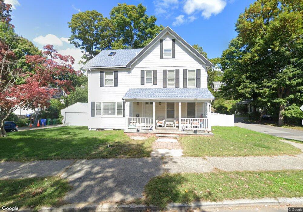
2149 Commonwealth Ave Auburndale, MA 02466
Auburndale NeighborhoodEstimated Value: $1,178,000 - $1,575,000
3
Beds
3
Baths
1,974
Sq Ft
$706/Sq Ft
Est. Value
About This Home
This home is located at 2149 Commonwealth Ave, Auburndale, MA 02466 and is currently estimated at $1,394,456, approximately $706 per square foot. 2149 Commonwealth Ave is a home located in Middlesex County with nearby schools including C.C. Burr, F.A. Day Middle School, and Newton North High School.
Ownership History
Date
Name
Owned For
Owner Type
Purchase Details
Closed on
Apr 23, 2002
Sold by
Todlr Brookline Infant
Bought by
Kwong Bruce and Kwong Helen Chan
Current Estimated Value
Home Financials for this Owner
Home Financials are based on the most recent Mortgage that was taken out on this home.
Original Mortgage
$413,000
Interest Rate
6.85%
Mortgage Type
Purchase Money Mortgage
Purchase Details
Closed on
Aug 25, 1999
Sold by
Bradley Jacqueline M
Bought by
Toddl Brookline-Infant
Home Financials for this Owner
Home Financials are based on the most recent Mortgage that was taken out on this home.
Original Mortgage
$328,000
Interest Rate
7.53%
Mortgage Type
Purchase Money Mortgage
Create a Home Valuation Report for This Property
The Home Valuation Report is an in-depth analysis detailing your home's value as well as a comparison with similar homes in the area
Home Values in the Area
Average Home Value in this Area
Purchase History
| Date | Buyer | Sale Price | Title Company |
|---|---|---|---|
| Kwong Bruce | $460,000 | -- | |
| Toddl Brookline-Infant | $410,000 | -- |
Source: Public Records
Mortgage History
| Date | Status | Borrower | Loan Amount |
|---|---|---|---|
| Open | Toddl Brookline-Infant | $334,000 | |
| Closed | Kwong Bruce | $413,000 | |
| Previous Owner | Toddl Brookline-Infant | $328,000 | |
| Previous Owner | Toddl Brookline-Infant | $206,000 |
Source: Public Records
Tax History
| Year | Tax Paid | Tax Assessment Tax Assessment Total Assessment is a certain percentage of the fair market value that is determined by local assessors to be the total taxable value of land and additions on the property. | Land | Improvement |
|---|---|---|---|---|
| 2025 | $11,097 | $1,132,300 | $963,600 | $168,700 |
| 2024 | $10,729 | $1,099,300 | $935,500 | $163,800 |
| 2023 | $10,302 | $1,012,000 | $718,000 | $294,000 |
| 2022 | $9,857 | $937,000 | $664,800 | $272,200 |
| 2021 | $9,512 | $884,000 | $627,200 | $256,800 |
| 2020 | $9,229 | $884,000 | $627,200 | $256,800 |
| 2019 | $8,969 | $858,300 | $608,900 | $249,400 |
| 2018 | $8,627 | $797,300 | $548,000 | $249,300 |
| 2017 | $8,364 | $752,200 | $517,000 | $235,200 |
| 2016 | $7,994 | $702,500 | $483,200 | $219,300 |
| 2015 | $7,622 | $656,500 | $451,600 | $204,900 |
Source: Public Records
Map
Nearby Homes
- 10 Higgins St
- 232 Melrose St Unit 2
- 283 Melrose St
- 187 Melrose St
- 2202 Commonwealth Ave Unit 1
- 69 Kaposia St
- 2259 Commonwealth Ave
- 194 Auburn St
- 49 Staniford St
- 305 Webster St Unit 2
- 160 Pine St Unit 12
- 1919 Commonwealth Ave Unit 1919
- 1917 Commonwealth Ave Unit 1917
- 12 Oakwood Rd
- 126 Charles St (Aub)
- 7 Sharon Ave Unit 7
- 88 Crescent St Unit 2
- 73 Auburn St Unit 75
- 1639 Washington St
- 101-103 Lexington St
- 9 Higgins St
- 9 Higgins St Unit 3
- 9 Higgins St Unit 4
- 2157 Commonwealth Ave
- 2143 Commonwealth Ave
- 11 Regina Terrace
- 2139 Commonwealth Ave
- 2139 Commonwealth Ave
- 2139 Commonwealth Ave Unit 1
- 19 Higgins St
- 7 Regina Terrace
- 2163 Commonwealth Ave Unit 3
- 2163 Commonwealth Ave
- 2163 Commonwealth Ave Unit 2163,2
- 2163 Commonwealth Ave Unit 2,2163
- 2163 Commonwealth Ave Unit 1
- 2163 Commonwealth Ave Unit 2
- 2163 Commonwealth Ave Unit B
- 2148 Commonwealth Ave Unit 2150
- 18 Higgins St
Your Personal Tour Guide
Ask me questions while you tour the home.