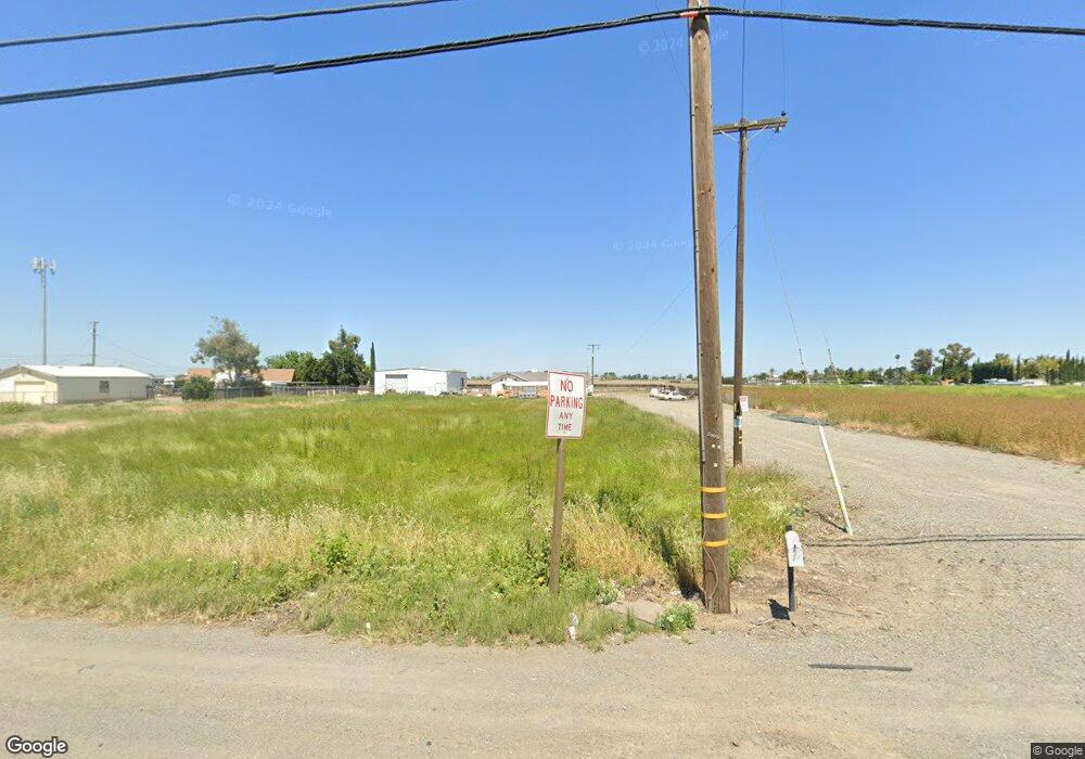
21496 Highway 152 Los Banos, CA 93635
Estimated Value: $399,000 - $488,000
3
Beds
1
Bath
1,352
Sq Ft
$326/Sq Ft
Est. Value
About This Home
This home is located at 21496 Highway 152, Los Banos, CA 93635 and is currently estimated at $440,215, approximately $325 per square foot. 21496 Highway 152 is a home located in Merced County with nearby schools including Volta Elementary School, Creekside Junior High School, and Los Banos High School.
Ownership History
Date
Name
Owned For
Owner Type
Purchase Details
Closed on
Mar 24, 2005
Sold by
Lasalvia Laura M and Lasalvia Steven
Bought by
Lasalvia Laura M and Lasalvia Steven
Current Estimated Value
Purchase Details
Closed on
May 10, 2002
Sold by
Seto Paul B
Bought by
Seto Paul B and Seto Mei Yu Wu
Home Financials for this Owner
Home Financials are based on the most recent Mortgage that was taken out on this home.
Original Mortgage
$150,000
Interest Rate
7.13%
Create a Home Valuation Report for This Property
The Home Valuation Report is an in-depth analysis detailing your home's value as well as a comparison with similar homes in the area
Home Values in the Area
Average Home Value in this Area
Purchase History
| Date | Buyer | Sale Price | Title Company |
|---|---|---|---|
| Lasalvia Laura M | -- | First American Title Ins Co | |
| Seto Paul B | -- | Chicago Title Co |
Source: Public Records
Mortgage History
| Date | Status | Borrower | Loan Amount |
|---|---|---|---|
| Closed | Seto Paul B | $150,000 |
Source: Public Records
Tax History Compared to Growth
Tax History
| Year | Tax Paid | Tax Assessment Tax Assessment Total Assessment is a certain percentage of the fair market value that is determined by local assessors to be the total taxable value of land and additions on the property. | Land | Improvement |
|---|---|---|---|---|
| 2025 | $2,296 | $207,290 | $90,853 | $116,437 |
| 2024 | $2,296 | $203,226 | $89,072 | $114,154 |
| 2023 | $2,169 | $199,242 | $87,326 | $111,916 |
| 2022 | $2,137 | $195,336 | $85,614 | $109,722 |
| 2021 | $2,117 | $191,507 | $83,936 | $107,571 |
| 2020 | $2,094 | $189,544 | $83,076 | $106,468 |
| 2019 | $2,057 | $185,829 | $81,448 | $104,381 |
| 2018 | $1,996 | $182,186 | $79,851 | $102,335 |
| 2017 | $1,973 | $178,615 | $78,286 | $100,329 |
| 2016 | $1,996 | $175,113 | $76,751 | $98,362 |
| 2015 | $1,954 | $172,484 | $75,599 | $96,885 |
| 2014 | $1,823 | $169,107 | $74,119 | $94,988 |
Source: Public Records
Map
Nearby Homes
- Whitney Plan at Harvest Hills - I
- Palisade Plan at Harvest Hills - I
- Muir Plan at Harvest Hills - I
- 1850 Solimar Dr
- 1827 Del Mar Ct
- 1649 Maidencane Way
- 1831 Mariposa Dr
- 1830 Mariposa Dr
- Madrone Plan at Harvest Hills - II
- Cypress Plan at Harvest Hills - II
- Montara Plan at Harvest Hills - II
- Redwood Plan at Harvest Hills - II
- 1666 Oak St
- 1664 Dolomite Dr
- The Pacifica Plan at Westbrook
- The Montara Plan at Westbrook
- The Avila Plan at Westbrook
- 1149 Bellflower Way
- Residence 2188 Plan at The Pointe at Stonecreek
- Residence 2438 Plan at The Pointe at Stonecreek
- 21496 Highway 152
- 21520 Highway 152
- 21550 W Pacheco Blvd
- 21550 Highway 152
- 21564 Highway 152
- 21584 California 152
- 21584 Highway 152
- 00 W Pacheco Blvd
- 1555 California 33
- 1555 Highway 33
- 1550 W Pacheco Blvd
- 15885 Badger Flat Rd
- 21626 Highway 152
- 15867 Badger Flat Rd
- 22244 W Pacheco Blvd
- 15881 Badger Flat Rd
- 15807 Badger Flat Rd
- 15741 Badger Flat Rd
- 15763 Badger Flat Rd
- 15727 Badger Flat Rd
