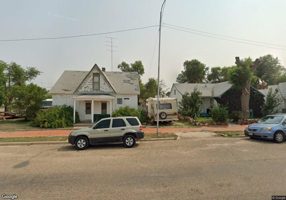
215 6th St Las Animas, CO 81054
Estimated Value: $62,869 - $133,000
3
Beds
1
Bath
1,152
Sq Ft
$87/Sq Ft
Est. Value
About This Home
This home is located at 215 6th St, Las Animas, CO 81054 and is currently estimated at $99,717, approximately $86 per square foot. 215 6th St is a home located in Bent County with nearby schools including Las Animas Elementary School, Las Animas Junior High School, and Las Animas High School.
Ownership History
Date
Name
Owned For
Owner Type
Purchase Details
Closed on
Feb 24, 2022
Sold by
Mcdermed Randy
Bought by
Wolfe Lynette
Current Estimated Value
Purchase Details
Closed on
Jan 18, 2022
Sold by
Randy Mcdermed
Bought by
Mcdermed Randy
Purchase Details
Closed on
Feb 9, 2021
Sold by
Brown Kathryn L
Bought by
Mcdermed Randy
Purchase Details
Closed on
Mar 14, 2006
Sold by
Hemphill Dolores A
Bought by
Mcdermed Herbert G
Create a Home Valuation Report for This Property
The Home Valuation Report is an in-depth analysis detailing your home's value as well as a comparison with similar homes in the area
Purchase History
| Date | Buyer | Sale Price | Title Company |
|---|---|---|---|
| Wolfe Lynette | $7,000 | Wolfe Lynette | |
| Mcdermed Randy | $2,055 | None Listed On Document | |
| Mcdermed Randy | $1,144 | None Listed On Document | |
| Mcdermed Herbert G | $19,000 | -- |
Source: Public Records
Tax History
| Year | Tax Paid | Tax Assessment Tax Assessment Total Assessment is a certain percentage of the fair market value that is determined by local assessors to be the total taxable value of land and additions on the property. | Land | Improvement |
|---|---|---|---|---|
| 2024 | $116 | $1,000 | $149 | $851 |
| 2023 | $115 | $1,002 | $53 | $949 |
| 2022 | $275 | $4,480 | $230 | $4,250 |
| 2021 | $276 | $2,584 | $186 | $2,398 |
| 2020 | $245 | $2,296 | $186 | $2,110 |
| 2019 | $260 | $2,296 | $186 | $2,110 |
| 2018 | $260 | $2,408 | $187 | $2,221 |
| 2017 | $262 | $2,408 | $187 | $2,221 |
| 2016 | $277 | $2,552 | $207 | $2,345 |
| 2015 | -- | $2,552 | $207 | $2,345 |
| 2014 | -- | $2,552 | $207 | $2,345 |
| 2013 | -- | $2,552 | $207 | $2,345 |
Source: Public Records
Map
Nearby Homes
Your Personal Tour Guide
Ask me questions while you tour the home.