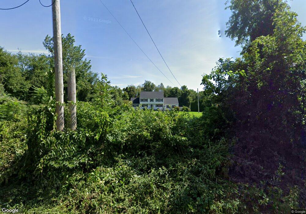
215 8 Lots Rd Sutton, MA 01590
Estimated Value: $714,110 - $819,000
4
Beds
3
Baths
2,456
Sq Ft
$320/Sq Ft
Est. Value
About This Home
This home is located at 215 8 Lots Rd, Sutton, MA 01590 and is currently estimated at $784,778, approximately $319 per square foot. 215 8 Lots Rd is a home located in Worcester County with nearby schools including Sutton Elementary School, Sutton Middle School, and Sutton High School.
Create a Home Valuation Report for This Property
The Home Valuation Report is an in-depth analysis detailing your home's value as well as a comparison with similar homes in the area
Home Values in the Area
Average Home Value in this Area
Tax History
| Year | Tax Paid | Tax Assessment Tax Assessment Total Assessment is a certain percentage of the fair market value that is determined by local assessors to be the total taxable value of land and additions on the property. | Land | Improvement |
|---|---|---|---|---|
| 2025 | $7,904 | $657,600 | $179,900 | $477,700 |
| 2024 | $7,751 | $611,300 | $155,200 | $456,100 |
| 2023 | $7,210 | $520,600 | $136,100 | $384,500 |
| 2022 | $7,385 | $486,500 | $137,500 | $349,000 |
| 2021 | $7,336 | $458,500 | $137,500 | $321,000 |
| 2020 | $7,272 | $458,500 | $137,500 | $321,000 |
| 2019 | $7,097 | $429,600 | $137,500 | $292,100 |
| 2018 | $6,812 | $411,600 | $137,500 | $274,100 |
| 2017 | $6,635 | $402,100 | $120,800 | $281,300 |
| 2016 | $6,527 | $391,300 | $120,800 | $270,500 |
| 2015 | $6,288 | $377,000 | $120,800 | $256,200 |
| 2014 | $5,537 | $328,000 | $115,500 | $212,500 |
Source: Public Records
Map
Nearby Homes
Your Personal Tour Guide
Ask me questions while you tour the home.