215 Ash St Chenoa, IL 61726
Estimated Value: $134,000 - $185,000
--
Bed
2
Baths
1,372
Sq Ft
$120/Sq Ft
Est. Value
About This Home
This home is located at 215 Ash St, Chenoa, IL 61726 and is currently estimated at $164,096, approximately $119 per square foot. 215 Ash St is a home located in McLean County with nearby schools including Prairie Central High School.
Ownership History
Date
Name
Owned For
Owner Type
Purchase Details
Closed on
Jan 25, 2017
Sold by
Parent Daniel Kd
Bought by
Parent Daniel D and Parent Kimberly
Current Estimated Value
Home Financials for this Owner
Home Financials are based on the most recent Mortgage that was taken out on this home.
Original Mortgage
$93,200
Outstanding Balance
$47,299
Interest Rate
4.32%
Estimated Equity
$116,798
Purchase Details
Closed on
Aug 11, 2006
Sold by
Parent Carol A
Bought by
Parent Daniel D
Home Financials for this Owner
Home Financials are based on the most recent Mortgage that was taken out on this home.
Original Mortgage
$85,500
Interest Rate
6.78%
Create a Home Valuation Report for This Property
The Home Valuation Report is an in-depth analysis detailing your home's value as well as a comparison with similar homes in the area
Home Values in the Area
Average Home Value in this Area
Purchase History
| Date | Buyer | Sale Price | Title Company |
|---|---|---|---|
| Parent Daniel D | -- | First American Els | |
| Parent Daniel D | -- | None Available |
Source: Public Records
Mortgage History
| Date | Status | Borrower | Loan Amount |
|---|---|---|---|
| Open | Parent Daniel D | $93,200 | |
| Previous Owner | Parent Daniel D | $85,500 |
Source: Public Records
Tax History Compared to Growth
Tax History
| Year | Tax Paid | Tax Assessment Tax Assessment Total Assessment is a certain percentage of the fair market value that is determined by local assessors to be the total taxable value of land and additions on the property. | Land | Improvement |
|---|---|---|---|---|
| 2024 | $3,934 | $54,399 | $1,938 | $52,461 |
| 2022 | $3,934 | $46,803 | $1,667 | $45,136 |
| 2021 | $2,775 | $35,230 | $1,629 | $33,601 |
| 2020 | $2,617 | $32,757 | $1,515 | $31,242 |
| 2019 | $2,687 | $32,757 | $1,515 | $31,242 |
| 2018 | $2,847 | $32,436 | $1,500 | $30,936 |
| 2017 | $3,082 | $37,971 | $1,272 | $36,699 |
| 2016 | $2,920 | $37,971 | $1,272 | $36,699 |
| 2015 | $2,874 | $38,960 | $1,305 | $37,655 |
| 2014 | -- | $38,960 | $1,305 | $37,655 |
| 2013 | -- | $39,385 | $1,319 | $38,066 |
Source: Public Records
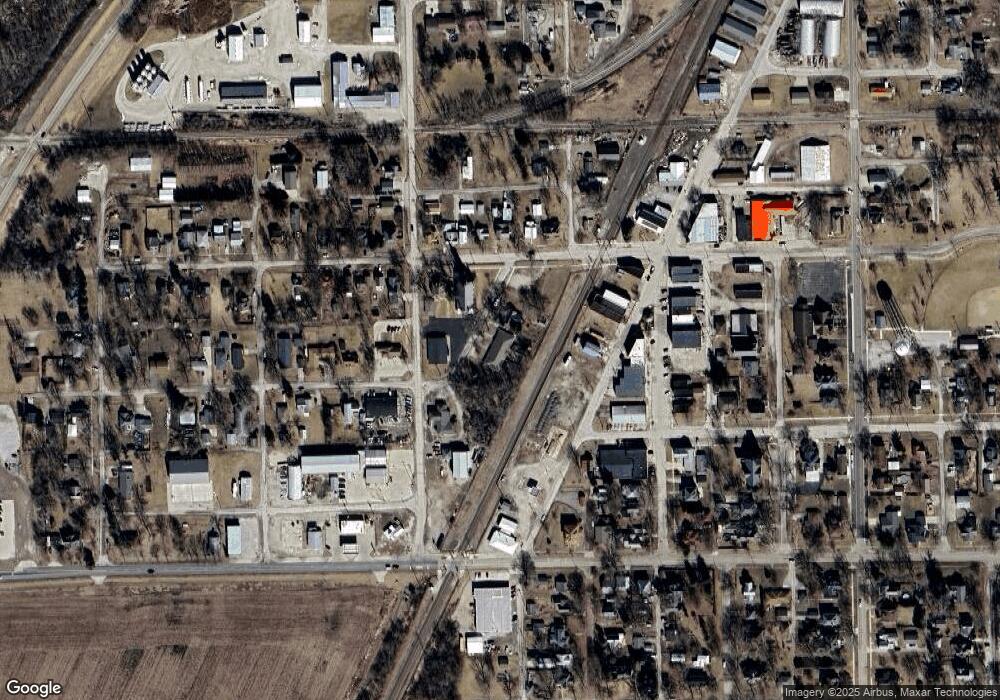
Map
Nearby Homes
- 215 Ash St Unit B
- 215 Ash St
- 215 Ash Street B
- 211 Ash St
- 222 S Veto St
- 305 S Morehead St
- 212 W Owsley St
- 212 W Owsley St
- 212 W Owsley St
- 204 W Owsley St
- 214 W Owsley St
- 200 W Owsley St
- 222 W Owsley St
- 301 W Owsley St
- 301 W Owsley St
- 226 W Owsley St
- 202 S Veto St
- 228 W Owsley St
- 302 S Morehead St
- 305 W Owsley St